8 Range Rd Hebron, NH 03241
Estimated Value: $1,235,198
4
Beds
5
Baths
3,908
Sq Ft
$316/Sq Ft
Est. Value
About This Home
This home is located at 8 Range Rd, Hebron, NH 03241 and is currently estimated at $1,235,198, approximately $316 per square foot. 8 Range Rd is a home located in Grafton County with nearby schools including Bridgewater-Hebron Village School.
Ownership History
Date
Name
Owned For
Owner Type
Purchase Details
Closed on
Mar 15, 2004
Sold by
Mogil Lee H and Mogil Octavia
Bought by
Kent Allan R
Current Estimated Value
Home Financials for this Owner
Home Financials are based on the most recent Mortgage that was taken out on this home.
Original Mortgage
$400,000
Outstanding Balance
$181,179
Interest Rate
5.67%
Mortgage Type
Commercial
Estimated Equity
$1,054,019
Create a Home Valuation Report for This Property
The Home Valuation Report is an in-depth analysis detailing your home's value as well as a comparison with similar homes in the area
Home Values in the Area
Average Home Value in this Area
Purchase History
| Date | Buyer | Sale Price | Title Company |
|---|---|---|---|
| Kent Allan R | $500,000 | -- | |
| Kent Allan R | $500,000 | -- |
Source: Public Records
Mortgage History
| Date | Status | Borrower | Loan Amount |
|---|---|---|---|
| Open | Kent Allan R | $400,000 | |
| Closed | Kent Allan R | $400,000 |
Source: Public Records
Tax History
| Year | Tax Paid | Tax Assessment Tax Assessment Total Assessment is a certain percentage of the fair market value that is determined by local assessors to be the total taxable value of land and additions on the property. | Land | Improvement |
|---|---|---|---|---|
| 2025 | $7,331 | $809,200 | $229,100 | $580,100 |
| 2024 | $5,656 | $809,200 | $229,100 | $580,100 |
| 2023 | $5,163 | $809,200 | $229,100 | $580,100 |
| 2022 | $5,527 | $809,200 | $229,100 | $580,100 |
| 2021 | $5,276 | $809,200 | $229,100 | $580,100 |
| 2020 | $5,350 | $557,300 | $213,100 | $344,200 |
| 2019 | $3,885 | $557,300 | $213,100 | $344,200 |
| 2018 | $4,164 | $557,300 | $213,100 | $344,200 |
| 2017 | $4,982 | $557,300 | $213,100 | $344,200 |
| 2016 | $4,637 | $557,300 | $213,100 | $344,200 |
| 2015 | $4,698 | $590,200 | $240,200 | $350,000 |
| 2014 | $4,932 | $602,900 | $240,200 | $362,700 |
| 2013 | $4,853 | $602,900 | $240,200 | $362,700 |
Source: Public Records
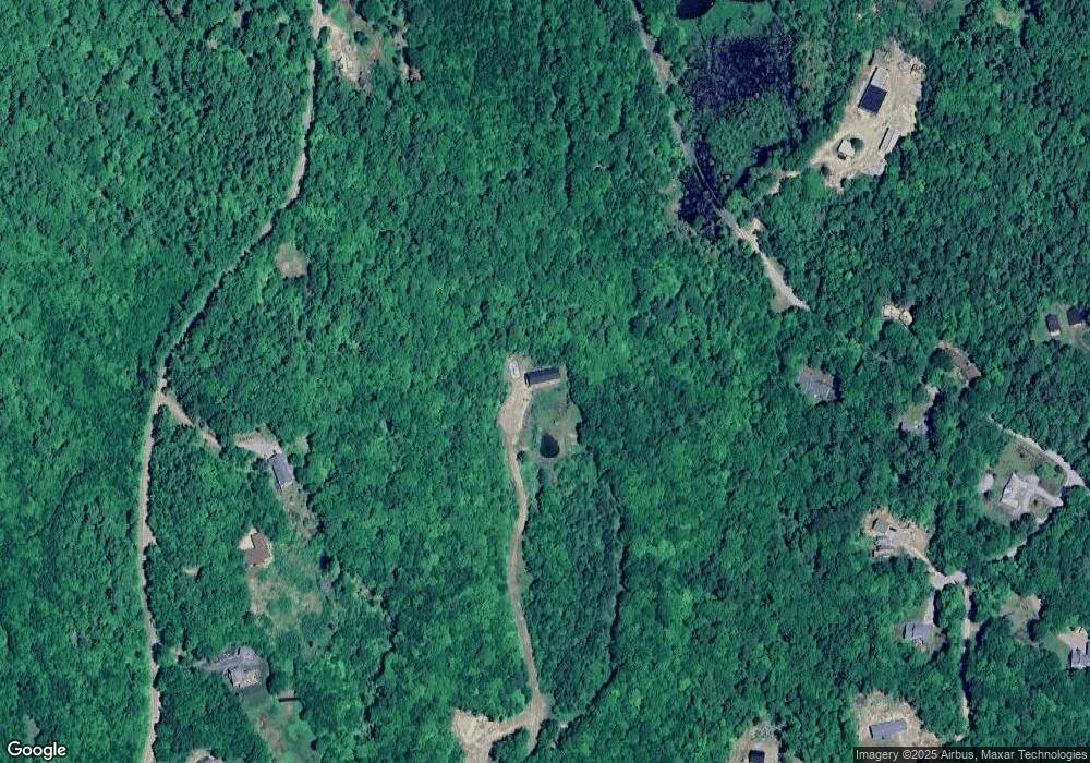
Map
Nearby Homes
- 22 Crescent Ln
- 13 Evans Rd
- 431 George Rd
- 28 Cilley Brook Ln
- 5 Cross Rd
- 8 Country Ln
- 33 Winterberry Ln
- 0 High Cliffs Circle and Skyline Dr Unit 11,17,18,20,21,23
- 154 Bell Rd
- Lot 2 Panorama Ln
- 21 Dodge Rd
- 00 Ledgewood Cir Unit 7
- 342 Whittemore Point Rd N
- 1850 Dick Brown Rd
- 193 New Hebron Rd
- 862 Mayhew Turnpike Unit 16
- 862 Mayhew Turnpike Unit 13
- 0 Texas Hill Rd Unit 2
- 00 Texas Hill Rd Unit 59
- 0 Texas Hill Rd Unit 1
Your Personal Tour Guide
Ask me questions while you tour the home.