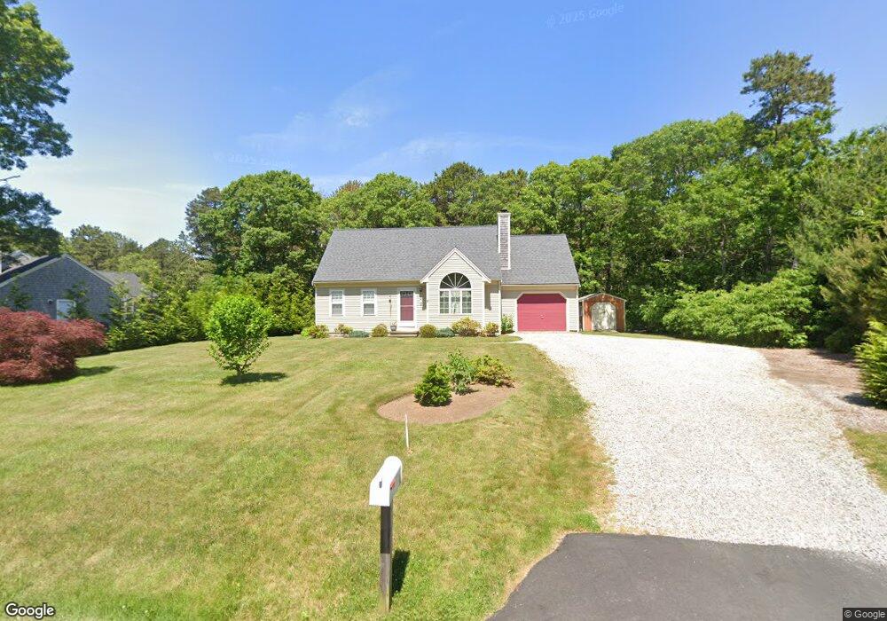
8 Swain Cir Mashpee, MA 02649
Estimated Value: $578,000 - $677,000
3
Beds
2
Baths
1,334
Sq Ft
$464/Sq Ft
Est. Value
About This Home
This home is located at 8 Swain Cir, Mashpee, MA 02649 and is currently estimated at $618,680, approximately $463 per square foot. 8 Swain Cir is a home located in Barnstable County with nearby schools including Kenneth C. Coombs School, Quashnet School, and Mashpee Middle School.
Ownership History
Date
Name
Owned For
Owner Type
Purchase Details
Closed on
Feb 3, 1993
Sold by
Ashers Heights Dev
Bought by
Lemmon Robert B
Current Estimated Value
Home Financials for this Owner
Home Financials are based on the most recent Mortgage that was taken out on this home.
Original Mortgage
$50,000
Interest Rate
8.1%
Mortgage Type
Purchase Money Mortgage
Create a Home Valuation Report for This Property
The Home Valuation Report is an in-depth analysis detailing your home's value as well as a comparison with similar homes in the area
Home Values in the Area
Average Home Value in this Area
Purchase History
| Date | Buyer | Sale Price | Title Company |
|---|---|---|---|
| Lemmon Robert B | $94,900 | -- |
Source: Public Records
Mortgage History
| Date | Status | Borrower | Loan Amount |
|---|---|---|---|
| Open | Lemmon Robert B | $45,100 | |
| Closed | Lemmon Robert B | $50,000 |
Source: Public Records
Tax History Compared to Growth
Tax History
| Year | Tax Paid | Tax Assessment Tax Assessment Total Assessment is a certain percentage of the fair market value that is determined by local assessors to be the total taxable value of land and additions on the property. | Land | Improvement |
|---|---|---|---|---|
| 2025 | $3,591 | $542,500 | $194,300 | $348,200 |
| 2024 | $3,270 | $508,500 | $176,700 | $331,800 |
| 2023 | $3,063 | $437,000 | $168,200 | $268,800 |
| 2022 | $2,937 | $359,500 | $136,800 | $222,700 |
| 2021 | $2,862 | $315,600 | $123,200 | $192,400 |
| 2020 | $2,761 | $303,700 | $118,500 | $185,200 |
| 2019 | $2,647 | $292,500 | $118,500 | $174,000 |
| 2018 | $2,462 | $276,000 | $118,500 | $157,500 |
| 2017 | $2,386 | $259,600 | $118,500 | $141,100 |
| 2016 | $2,323 | $251,400 | $118,500 | $132,900 |
| 2015 | $2,239 | $245,800 | $118,500 | $127,300 |
| 2014 | $2,292 | $244,100 | $117,000 | $127,100 |
Source: Public Records
Map
Nearby Homes
- 195 Falmouth Rd Unit 3A
- 195 Falmouth Rd Unit 12F
- 195 Falmouth Rd Unit 9D
- 295 Pheasant Hill Cir
- 300 Falmouth Rd Unit 2A
- 300 Falmouth Rd Unit 18E
- 300 Falmouth Rd Unit 17B
- 16 Spring Brook Ln
- 31 N Glen Dr
- 22 Stratford Ridge Unit 22
- 5 Darby Point Unit 5
- 21 Chatham Ln
- 14 Willow Cir
- 70 Simons Rd Unit E
- 70 Simons Rd
- 4 Bishops Park
- 6 Willow Cir
- 45 Simons Rd Unit A