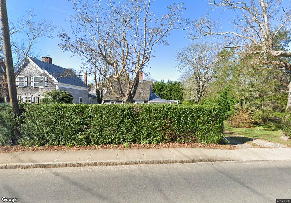
80 Peases Point Way S Edgartown, MA 02539
Edgartown NeighborhoodEstimated Value: $3,122,874 - $3,564,000
--
Bed
1
Bath
--
Sq Ft
0.62
Acres
About This Home
This home is located at 80 Peases Point Way S, Edgartown, MA 02539 and is currently estimated at $3,334,219. 80 Peases Point Way S is a home located in Dukes County with nearby schools including Edgartown Elementary School and Martha's Vineyard Regional High School.
Ownership History
Date
Name
Owned For
Owner Type
Purchase Details
Closed on
Mar 18, 2024
Sold by
Rogers Mary J
Bought by
Coad Robert and Rogers Mary J
Current Estimated Value
Create a Home Valuation Report for This Property
The Home Valuation Report is an in-depth analysis detailing your home's value as well as a comparison with similar homes in the area
Home Values in the Area
Average Home Value in this Area
Purchase History
Date | Buyer | Sale Price | Title Company |
---|---|---|---|
Coad Robert | -- | None Available | |
Coad Robert | -- | None Available |
Source: Public Records
Mortgage History
Date | Status | Borrower | Loan Amount |
---|---|---|---|
Previous Owner | Rogers Mary Jane | $263,000 | |
Previous Owner | Rogers Mary Jane | $251,000 | |
Previous Owner | Rogers Mary Jane | $297,000 | |
Previous Owner | Rogers Mary Jane | $122,000 |
Source: Public Records
Tax History Compared to Growth
Tax History
Year | Tax Paid | Tax Assessment Tax Assessment Total Assessment is a certain percentage of the fair market value that is determined by local assessors to be the total taxable value of land and additions on the property. | Land | Improvement |
---|---|---|---|---|
2024 | $5,822 | $2,283,200 | $1,237,400 | $1,045,800 |
2023 | $5,561 | $2,206,700 | $1,194,900 | $1,011,800 |
2022 | $5,461 | $1,802,300 | $1,175,500 | $626,800 |
2021 | $5,614 | $1,711,500 | $1,181,000 | $530,500 |
2020 | $5,657 | $1,688,800 | $1,181,000 | $507,800 |
2019 | $6,020 | $1,555,500 | $1,042,000 | $513,500 |
2018 | $5,637 | $1,456,600 | $1,042,000 | $414,600 |
2017 | $3,947 | $1,111,700 | $694,700 | $417,000 |
2016 | $3,842 | $1,061,300 | $694,700 | $366,600 |
2015 | $3,757 | $1,082,800 | $694,700 | $388,100 |
Source: Public Records
Map
Nearby Homes
- 56 Robinson Rd
- 10 Peases Point Way N
- 32 Norton Orchard Rd
- 68 Winter St
- 68 Winter St Unit 2
- 11 Bernard Way
- 26 Mill Hill Rd
- 25 Dock St
- 25 Simpson's Ln
- 68 N Water St
- 25 Beetle Swamp Rd
- 2 Orchard Ln
- 24 Dark Woods Rd
- 114 N Water St
- 117 N Water St
- 131 N Water St Unit 96
- 15 Jernegan Pond Rd
- 69 Division Rd
- 43C Dark Woods Rd
- 42 Road To the Plains
- 80 Peases Point Way S
- 82 Peases Point Way S
- 90 Peases Point Way S
- 90 Pease Point Way S
- 79 Peases Point Way S
- 77 Peases Point Way S
- 94 Peases Point Way S
- 50 High St
- 69 Peases Point Way S
- 48 High St
- 2 Maggies Ln
- 83 Peases Point Way S
- 5 Mullen Way
- 3 Maggies Ln
- 3 Mullen Way
- 32 Robinson Rd
- 4 Maggies Ln
- 4 Maggies Ln Unit 2+4
- 28 Robinson Rd