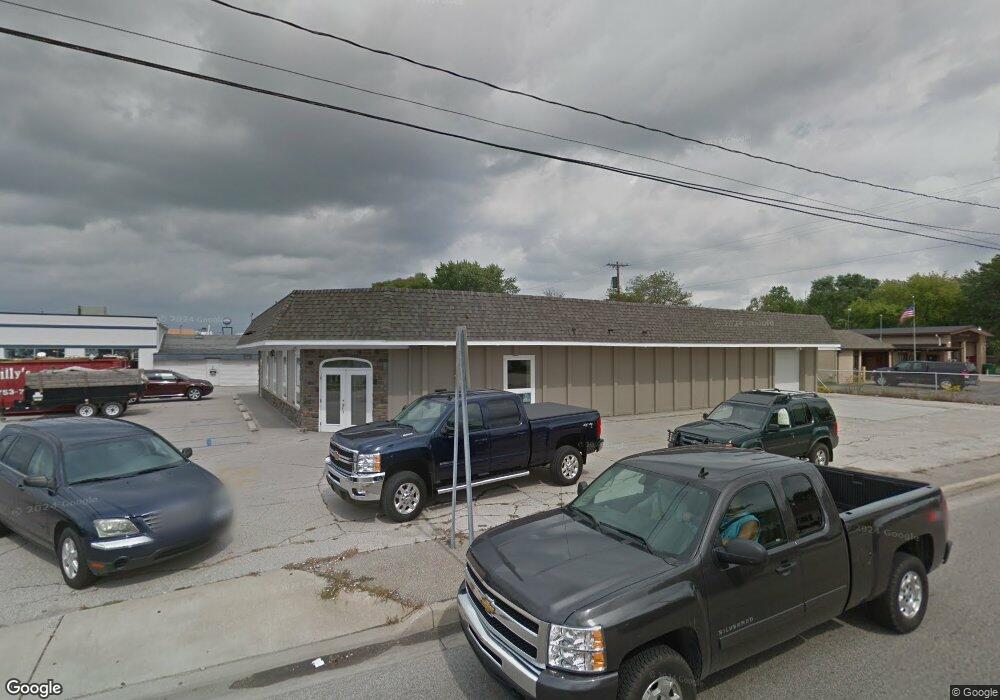
800 N Euclid Ave Bay City, MI 48706
--
Bed
--
Bath
5,895
Sq Ft
0.45
Acres
About This Home
This home is located at 800 N Euclid Ave, Bay City, MI 48706. 800 N Euclid Ave is a home located in Bay County with nearby schools including John Glenn High School and St. John's Lutheran School.
Ownership History
Date
Name
Owned For
Owner Type
Purchase Details
Closed on
Mar 27, 2017
Sold by
Laporte Properties Llc
Bought by
Frankenmuth Credit Union
Purchase Details
Closed on
Jun 4, 2012
Sold by
Jjj Property Company
Bought by
Laporte Properties Llc
Home Financials for this Owner
Home Financials are based on the most recent Mortgage that was taken out on this home.
Original Mortgage
$250,000
Interest Rate
3.9%
Mortgage Type
Commercial
Purchase Details
Closed on
Mar 28, 2012
Sold by
Nichols Elgin L and Nichols Carol
Bought by
Jjj Property Company
Purchase Details
Closed on
Mar 27, 2012
Sold by
Mcdonald Thomas W
Bought by
Jjj Property Company
Purchase Details
Closed on
Oct 17, 1983
Sold by
Short Vernon F and Short Ruth L
Bought by
Nichols Elgin L and Nichols Carol K
Create a Home Valuation Report for This Property
The Home Valuation Report is an in-depth analysis detailing your home's value as well as a comparison with similar homes in the area
Home Values in the Area
Average Home Value in this Area
Purchase History
| Date | Buyer | Sale Price | Title Company |
|---|---|---|---|
| Frankenmuth Credit Union | -- | Mason Burgess Title | |
| Laporte Properties Llc | -- | None Available | |
| Jjj Property Company | -- | None Available | |
| Jjj Property Company | -- | None Available | |
| Nichols Elgin L | $237,200 | -- |
Source: Public Records
Mortgage History
| Date | Status | Borrower | Loan Amount |
|---|---|---|---|
| Previous Owner | Laporte Properties Llc | $250,000 |
Source: Public Records
Tax History Compared to Growth
Tax History
| Year | Tax Paid | Tax Assessment Tax Assessment Total Assessment is a certain percentage of the fair market value that is determined by local assessors to be the total taxable value of land and additions on the property. | Land | Improvement |
|---|---|---|---|---|
| 2025 | $33,191 | $851,700 | $0 | $0 |
| 2024 | $24,942 | $834,300 | $0 | $0 |
| 2023 | $23,328 | $895,850 | $0 | $0 |
| 2022 | $28,962 | $742,300 | $0 | $0 |
| 2021 | $27,038 | $682,950 | $44,400 | $638,550 |
| 2020 | $26,559 | $703,500 | $39,850 | $663,650 |
| 2019 | $25,684 | $522,250 | $0 | $0 |
| 2018 | $6,820 | $138,900 | $0 | $0 |
| 2017 | $5,148 | $114,250 | $0 | $0 |
| 2016 | $5,251 | $109,100 | $19,200 | $89,900 |
| 2015 | -- | $101,250 | $19,200 | $82,050 |
| 2014 | -- | $122,900 | $0 | $122,900 |
Source: Public Records
Map
Nearby Homes
- 538 Handy Dr
- 4543 Westfield Ct
- 714 Frost Dr
- 1005 N Wenona Ave
- 204 N Mountain St
- 16 Cove Dr
- 12 Cove Dr
- 14 Cove Dr
- 607 N Dewitt St
- 201 N Warner St
- 3226 Kiesel Rd
- 300 S Columbian St
- 215 S Kiesel St
- 305 N Dean St
- 609 N Henry St
- 506 N Catherine St
- 502 E South Union St
- 3425 Win Kae Place
- 312 S Barclay St
- 4700 Foxcroft Dr