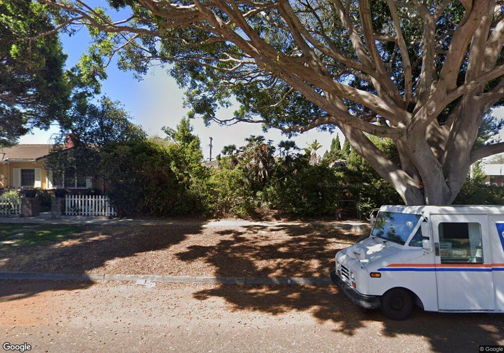
8001 Emerson Ave Los Angeles, CA 90045
Westchester NeighborhoodEstimated Value: $1,553,961 - $1,944,000
3
Beds
2
Baths
1,747
Sq Ft
$1,031/Sq Ft
Est. Value
About This Home
This home is located at 8001 Emerson Ave, Los Angeles, CA 90045 and is currently estimated at $1,801,990, approximately $1,031 per square foot. 8001 Emerson Ave is a home located in Los Angeles County with nearby schools including Kentwood Elementary, Wright Middle School STEAM Magnet, and Westchester Enriched Sciences Magnets.
Ownership History
Date
Name
Owned For
Owner Type
Purchase Details
Closed on
Jul 24, 2023
Sold by
Jensik James B
Bought by
James B Jensik Revocable Trust and Jensik
Current Estimated Value
Purchase Details
Closed on
Jan 20, 1998
Sold by
Dielman Jalna R
Bought by
Jensik James B
Purchase Details
Closed on
Jan 30, 1996
Sold by
Jensik James B
Bought by
Dielman Jalna R
Create a Home Valuation Report for This Property
The Home Valuation Report is an in-depth analysis detailing your home's value as well as a comparison with similar homes in the area
Home Values in the Area
Average Home Value in this Area
Purchase History
| Date | Buyer | Sale Price | Title Company |
|---|---|---|---|
| James B Jensik Revocable Trust | -- | None Listed On Document | |
| Jensik James B | -- | -- | |
| Dielman Jalna R | -- | -- |
Source: Public Records
Tax History Compared to Growth
Tax History
| Year | Tax Paid | Tax Assessment Tax Assessment Total Assessment is a certain percentage of the fair market value that is determined by local assessors to be the total taxable value of land and additions on the property. | Land | Improvement |
|---|---|---|---|---|
| 2025 | $7,090 | $581,419 | $312,306 | $269,113 |
| 2024 | $7,090 | $570,020 | $306,183 | $263,837 |
| 2023 | $6,958 | $558,844 | $300,180 | $258,664 |
| 2022 | $6,642 | $547,888 | $294,295 | $253,593 |
| 2021 | $6,552 | $537,146 | $288,525 | $248,621 |
| 2019 | $6,357 | $521,216 | $279,968 | $241,248 |
| 2018 | $6,276 | $510,997 | $274,479 | $236,518 |
| 2016 | $5,993 | $491,157 | $263,822 | $227,335 |
| 2015 | $5,905 | $483,781 | $259,860 | $223,921 |
| 2014 | $5,931 | $474,305 | $254,770 | $219,535 |
Source: Public Records
Map
Nearby Homes
- 7920 Anise Ave Unit 1
- 7833 Denrock Ave
- 7831 Beland Ave
- 8015 Dunbarton Ave
- 8000 Westlawn Ave
- 7713 Anise Ave
- 6606 W 80th Place
- 7825 Cowan Ave
- 8044 Cowan Ave
- 7733 Henefer Ave
- 7841 Stewart Ave
- 8056 Kentwood Ave
- 8008 El Manor Ave
- 8004 El Manor Ave
- 7501 Agnew Ave
- 7456 Denrock Ave
- 7809 Mcconnell Ave
- 8336 Stewart Ave
- 8353 Dunbarton Ave
- 6537 W 84th Place
- 8005 Emerson Ave
- 8009 Emerson Ave
- 8000 Denrock Ave
- 7936 Denrock Ave
- 8004 Denrock Ave
- 8013 Emerson Ave
- 7930 Denrock Ave
- 8008 Denrock Ave
- 8017 Emerson Ave
- 7926 Denrock Ave
- 8012 Denrock Ave
- 8021 Emerson Ave
- 7920 Denrock Ave
- 7943 Denrock Ave
- 8016 Denrock Ave
- 7939 Denrock Ave
- 8001 Denrock Ave
- 8014 Denrock Ave Unit 1
- 7933 Denrock Ave
- 8025 Emerson Ave