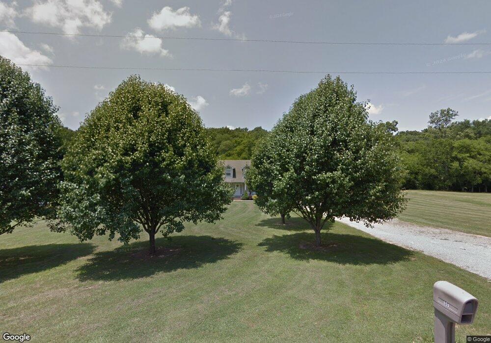
801 Cherokee Hills Dr Loretto, TN 38469
Estimated Value: $362,617 - $453,000
--
Bed
2
Baths
2,294
Sq Ft
$173/Sq Ft
Est. Value
About This Home
This home is located at 801 Cherokee Hills Dr, Loretto, TN 38469 and is currently estimated at $396,404, approximately $172 per square foot. 801 Cherokee Hills Dr is a home located in Lawrence County with nearby schools including South Lawrence Elementary School, Lawrenceburg Public Elementary School, and Ingram Sowell Elementary School.
Ownership History
Date
Name
Owned For
Owner Type
Purchase Details
Closed on
Sep 14, 2001
Sold by
Brown Jerry W
Bought by
Donnie Cotton
Current Estimated Value
Create a Home Valuation Report for This Property
The Home Valuation Report is an in-depth analysis detailing your home's value as well as a comparison with similar homes in the area
Home Values in the Area
Average Home Value in this Area
Purchase History
| Date | Buyer | Sale Price | Title Company |
|---|---|---|---|
| Donnie Cotton | $9,500 | -- |
Source: Public Records
Tax History Compared to Growth
Tax History
| Year | Tax Paid | Tax Assessment Tax Assessment Total Assessment is a certain percentage of the fair market value that is determined by local assessors to be the total taxable value of land and additions on the property. | Land | Improvement |
|---|---|---|---|---|
| 2024 | $1,372 | $68,250 | $3,900 | $64,350 |
| 2023 | $1,372 | $68,250 | $3,900 | $64,350 |
| 2022 | $1,372 | $68,250 | $3,900 | $64,350 |
| 2021 | $1,212 | $40,975 | $2,825 | $38,150 |
| 2020 | $1,212 | $40,975 | $2,825 | $38,150 |
| 2019 | $1,212 | $40,975 | $2,825 | $38,150 |
| 2018 | $1,212 | $40,975 | $2,825 | $38,150 |
| 2017 | $1,212 | $40,975 | $2,825 | $38,150 |
| 2016 | $1,212 | $40,975 | $2,825 | $38,150 |
| 2015 | $1,122 | $40,975 | $2,825 | $38,150 |
| 2014 | $1,079 | $39,400 | $2,825 | $36,575 |
Source: Public Records
Map
Nearby Homes
- 116 Smith Cir
- 716 Brenda Ave
- 746 N Military St
- 703 Brenda Ave
- 105 McGee Ln
- 0 Dixon Branch Rd
- 502 N Main St
- 918 N Military St
- 22 Ezell Ln
- 58 Union Hill Rd
- 119 Horn Ave
- 219 Vine Cir
- 308 Spring St
- 191 Rigling Rd
- 565 Eagle Loop
- 110 W Commerce St
- 0 Henkle Rd Unit RTC2592696
- 0 Henkle Rd Unit RTC2592694
- 0 Henkle Rd Unit RTC2452834
- 163 Rigling Rd
- 787 Cherokee Hills Dr
- 819 Cherokee Hills Dr
- 741 Cherokee Hills Dr
- 691 Cherokee Hills Dr
- 631 Cherokee Hills Dr
- 198 E Augustin Dr
- 808 Cherokee Hills Dr
- 120 Arrowhead Point
- 6 Cherokee Hills Dr
- 571 Cherokee Hills Dr
- 800 Cherokee Hills Dr
- 299 Cherokee Hills Dr
- 551 Cherokee Hills Dr
- 100 Cherokee Hills Dr
- 520 Cherokee Hills Dr
- 400 Cherokee Hills Dr
- 133 Fox Ridge Dr
- 79 Fox Ridge Dr
- 49 Fox Ridge Dr
- 162 Fox Ridge Dr