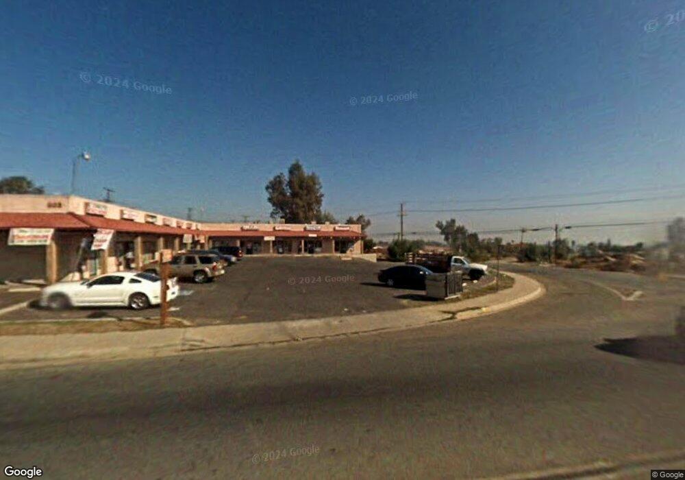
802 Navajo Rd Perris, CA 92570
Westside Perris NeighborhoodEstimated Value: $1,320,887
--
Bed
--
Bath
9,600
Sq Ft
$138/Sq Ft
Est. Value
About This Home
This home is located at 802 Navajo Rd, Perris, CA 92570 and is currently estimated at $1,320,887, approximately $137 per square foot. 802 Navajo Rd is a home located in Riverside County with nearby schools including Enchanted Hills Elementary School, Pinacate Middle School, and Perris High School.
Ownership History
Date
Name
Owned For
Owner Type
Purchase Details
Closed on
Dec 15, 2011
Sold by
Mendoza Carlos and Mendoza Consuelo
Bought by
Mendoza Carlos and Mendoza Consuelo
Current Estimated Value
Purchase Details
Closed on
Mar 16, 2004
Sold by
Ramirez Raymond
Bought by
Mendoza Carlos and Mendoza Consuelo
Purchase Details
Closed on
Mar 13, 2003
Sold by
R & B Properties
Bought by
Ramirez Raymond
Create a Home Valuation Report for This Property
The Home Valuation Report is an in-depth analysis detailing your home's value as well as a comparison with similar homes in the area
Home Values in the Area
Average Home Value in this Area
Purchase History
| Date | Buyer | Sale Price | Title Company |
|---|---|---|---|
| Mendoza Carlos | -- | None Available | |
| Mendoza Carlos | $665,000 | North American Title Co | |
| Ramirez Raymond | $470,000 | Fidelity National Title Co |
Source: Public Records
Tax History Compared to Growth
Tax History
| Year | Tax Paid | Tax Assessment Tax Assessment Total Assessment is a certain percentage of the fair market value that is determined by local assessors to be the total taxable value of land and additions on the property. | Land | Improvement |
|---|---|---|---|---|
| 2025 | $10,553 | $945,465 | $217,520 | $727,945 |
| 2023 | $10,553 | $908,753 | $209,074 | $699,679 |
| 2022 | $10,439 | $890,935 | $204,975 | $685,960 |
| 2021 | $10,235 | $873,466 | $200,956 | $672,510 |
| 2020 | $10,113 | $864,511 | $198,896 | $665,615 |
| 2019 | $9,878 | $847,561 | $194,997 | $652,564 |
| 2018 | $9,426 | $830,943 | $191,175 | $639,768 |
| 2017 | $9,298 | $814,651 | $187,427 | $627,224 |
| 2016 | $9,110 | $798,678 | $183,752 | $614,926 |
| 2015 | $8,929 | $786,684 | $180,993 | $605,691 |
| 2014 | $8,721 | $771,276 | $177,449 | $593,827 |
Source: Public Records
Map
Nearby Homes
- 0 Arapaho Rd
- 23500 State Highway 74
- 128 Chumash Cove
- 640 Apache Rd
- 0 Kruse St Unit IV25090710
- 144 Kruse St
- 540 Iroquois Rd
- 0 Highway 74 Hwy Unit IG25175334
- 1100 W 7th St
- 2 W 4th St
- 1 W 4th St
- 23682 Clayton St
- 595 W 11th St
- 350 W 5th St
- 1020 Clayton St
- 480 Deerhill Rd
- 0 Diana St
- 153 Barbara Dr
- 23970 California 74
- 641 Dove Dr
- 816 Navajo Rd
- 450 Arapahoe Rd
- 826 Navajo Rd
- 805 Geronimo Rd
- 832 Navajo Rd
- 817 Geronimo Rd
- 840 Navajo Rd
- 823 Geronimo Rd
- 465 Arapahoe Rd
- 546 Indian Hills Cir
- 831 Geronimo Rd
- 848 Navajo Rd
- 839 Geronimo Rd
- 535 Sioux Dr
- 856 Navajo Rd
- 810 Geronimo Rd
- 475 Arapahoe Rd
- 545 Sioux Dr
- 864 Navajo Rd
- 565 Sioux Dr