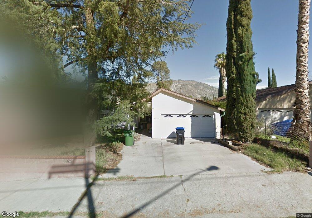
8029 Kyle St Sunland, CA 91040
Sunland NeighborhoodEstimated Value: $772,439 - $909,000
3
Beds
2
Baths
1,349
Sq Ft
$614/Sq Ft
Est. Value
About This Home
This home is located at 8029 Kyle St, Sunland, CA 91040 and is currently estimated at $828,360, approximately $614 per square foot. 8029 Kyle St is a home located in Los Angeles County with nearby schools including Sunland Elementary School, Mt. Gleason Middle School, and Verdugo Hills Senior High School.
Ownership History
Date
Name
Owned For
Owner Type
Purchase Details
Closed on
Feb 10, 2020
Sold by
Schmidt Cheryl and The Nicholas A Carson Revocabl
Bought by
Schmidt Cheryl
Current Estimated Value
Purchase Details
Closed on
Jun 26, 2019
Sold by
Carson Nicholas A
Bought by
Carson Nicholas A and The Nicholas A Carson Revocabl
Purchase Details
Closed on
Jul 7, 1995
Sold by
Carson Sylvia
Bought by
Carson Nicholas A
Home Financials for this Owner
Home Financials are based on the most recent Mortgage that was taken out on this home.
Original Mortgage
$100,000
Interest Rate
7.71%
Purchase Details
Closed on
Jun 22, 1995
Sold by
Perrault Betty
Bought by
Carson Nicholas A
Home Financials for this Owner
Home Financials are based on the most recent Mortgage that was taken out on this home.
Original Mortgage
$100,000
Interest Rate
7.71%
Create a Home Valuation Report for This Property
The Home Valuation Report is an in-depth analysis detailing your home's value as well as a comparison with similar homes in the area
Home Values in the Area
Average Home Value in this Area
Purchase History
| Date | Buyer | Sale Price | Title Company |
|---|---|---|---|
| Schmidt Cheryl | -- | None Available | |
| Carson Nicholas A | -- | None Available | |
| Carson Nicholas A | -- | -- | |
| Carson Nicholas A | $125,000 | -- |
Source: Public Records
Mortgage History
| Date | Status | Borrower | Loan Amount |
|---|---|---|---|
| Previous Owner | Carson Nicholas A | $100,000 |
Source: Public Records
Tax History
| Year | Tax Paid | Tax Assessment Tax Assessment Total Assessment is a certain percentage of the fair market value that is determined by local assessors to be the total taxable value of land and additions on the property. | Land | Improvement |
|---|---|---|---|---|
| 2025 | $2,599 | $207,627 | $116,604 | $91,023 |
| 2024 | $2,599 | $203,557 | $114,318 | $89,239 |
| 2023 | $2,551 | $199,567 | $112,077 | $87,490 |
| 2022 | $2,434 | $195,655 | $109,880 | $85,775 |
| 2021 | $2,397 | $191,820 | $107,726 | $84,094 |
| 2020 | $2,417 | $189,854 | $106,622 | $83,232 |
| 2019 | $2,326 | $186,132 | $104,532 | $81,600 |
| 2018 | $2,255 | $182,483 | $102,483 | $80,000 |
| 2016 | $2,139 | $175,399 | $98,504 | $76,895 |
| 2015 | $2,108 | $172,765 | $97,025 | $75,740 |
| 2014 | $2,122 | $169,382 | $95,125 | $74,257 |
Source: Public Records
Map
Nearby Homes
- 8048 Wentworth St
- 7941 Wentworth St
- 7853 Jayseel St
- 8230 Kyle St
- 7848 Forsythe St
- 10607 Whitegate Ave
- 8110 Brownstone St
- 7851 Fenwick St
- 10610 Oak Tree Way
- 10535 Nassau Ave
- 11014 Leolang Ave
- 11019 Nassau Ave
- 11020 Whitegate Ave
- 7755 Forsythe St
- 10918 Mount Gleason Ave
- 10631 Tinker Ave
- 10531 Greenburn Ave
- 8100 Foothill Blvd Unit 1
- 8100 Foothill Blvd Unit 3
- 11020 Scoville Ave
Your Personal Tour Guide
Ask me questions while you tour the home.