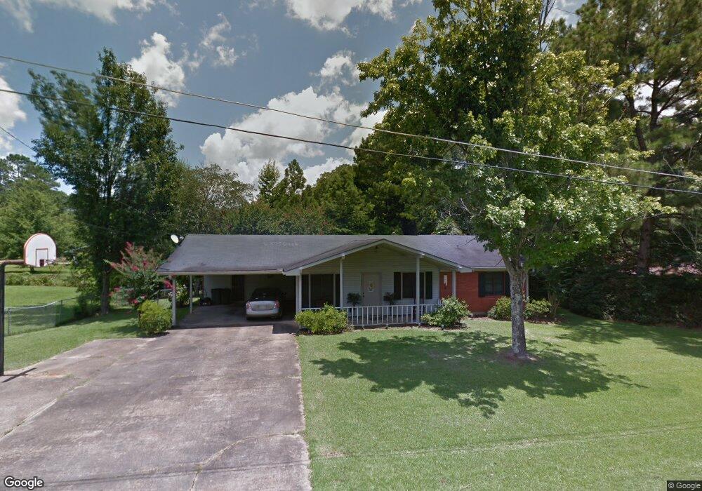
803 Nathan Dr McComb, MS 39648
Estimated Value: $125,000 - $160,000
3
Beds
2
Baths
1,540
Sq Ft
$91/Sq Ft
Est. Value
About This Home
This home is located at 803 Nathan Dr, McComb, MS 39648 and is currently estimated at $140,786, approximately $91 per square foot. 803 Nathan Dr is a home located in Pike County with nearby schools including Otken Elementary School, Higgins Middle School, and Denman Junior High School.
Ownership History
Date
Name
Owned For
Owner Type
Purchase Details
Closed on
Jun 24, 2008
Sold by
Mills Richard J and Mills Cheryl S
Bought by
Haygood Anthony L
Current Estimated Value
Home Financials for this Owner
Home Financials are based on the most recent Mortgage that was taken out on this home.
Original Mortgage
$113,525
Outstanding Balance
$72,494
Interest Rate
6.04%
Mortgage Type
New Conventional
Estimated Equity
$68,292
Purchase Details
Closed on
Nov 30, 2005
Sold by
Malone Florence
Bought by
Mills Richard J and Mills Cheryl S
Home Financials for this Owner
Home Financials are based on the most recent Mortgage that was taken out on this home.
Original Mortgage
$80,000
Interest Rate
6.04%
Mortgage Type
New Conventional
Create a Home Valuation Report for This Property
The Home Valuation Report is an in-depth analysis detailing your home's value as well as a comparison with similar homes in the area
Home Values in the Area
Average Home Value in this Area
Purchase History
| Date | Buyer | Sale Price | Title Company |
|---|---|---|---|
| Haygood Anthony L | -- | None Available | |
| Mills Richard J | -- | None Available |
Source: Public Records
Mortgage History
| Date | Status | Borrower | Loan Amount |
|---|---|---|---|
| Open | Haygood Anthony L | $113,525 | |
| Previous Owner | Mills Richard J | $80,000 |
Source: Public Records
Tax History Compared to Growth
Tax History
| Year | Tax Paid | Tax Assessment Tax Assessment Total Assessment is a certain percentage of the fair market value that is determined by local assessors to be the total taxable value of land and additions on the property. | Land | Improvement |
|---|---|---|---|---|
| 2025 | $1,337 | $10,402 | $0 | $0 |
| 2024 | $1,337 | $9,166 | $0 | $0 |
| 2023 | $1,318 | $9,166 | $0 | $0 |
| 2022 | $1,295 | $9,166 | $0 | $0 |
| 2021 | $1,291 | $9,166 | $0 | $0 |
| 2020 | $1,425 | $9,938 | $0 | $0 |
| 2019 | $1,350 | $9,938 | $0 | $0 |
| 2018 | $1,302 | $9,938 | $0 | $0 |
| 2017 | $1,312 | $9,938 | $0 | $0 |
| 2016 | $1,299 | $9,938 | $0 | $0 |
| 2015 | $1,306 | $10,015 | $0 | $0 |
| 2014 | $1,306 | $10,015 | $0 | $0 |
| 2013 | -- | $10,015 | $0 | $0 |
Source: Public Records
Map
Nearby Homes
- 1409 Vermont Ave
- 502 Faulkner Dr
- 1408 Vermont Ave
- 226 Shannon Dr
- 501 Oakbrook Dr
- 106 Shelly Dr
- 506 Oakbrook Cir
- 0 Anna Dr
- 309 West Ave S
- 534 11th St
- 902 Seminary St
- TDB Delaware Ave
- TBD Integrity Rd Lot #13
- 1206 26th St
- 923 Bendat St
- 724 Beech St
- 703 Pennsylvania Ave
- 710 Beech St
- 215 Peach Ave
- Lot 15 Business Center Dr