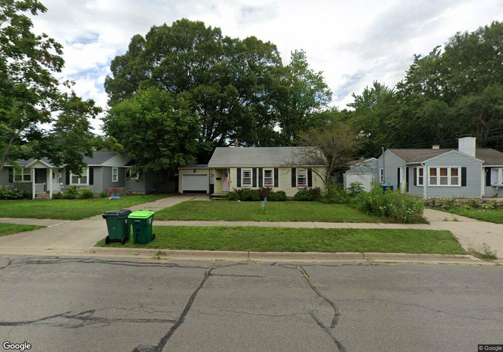
805 River St Spring Lake, MI 49456
Estimated Value: $275,000 - $302,000
2
Beds
1
Bath
1,054
Sq Ft
$277/Sq Ft
Est. Value
About This Home
This home is located at 805 River St, Spring Lake, MI 49456 and is currently estimated at $291,829, approximately $276 per square foot. 805 River St is a home located in Ottawa County with nearby schools including Spring Lake High School and St. Mary's School.
Ownership History
Date
Name
Owned For
Owner Type
Purchase Details
Closed on
Mar 11, 2024
Sold by
Reynolds Wanda M
Bought by
Wanda M Reynolds Trust and Butler
Current Estimated Value
Purchase Details
Closed on
Oct 5, 2021
Sold by
Reynolds Wanda M
Bought by
Butler Angela G Stanford and Wanda M Reynolds Trust
Home Financials for this Owner
Home Financials are based on the most recent Mortgage that was taken out on this home.
Original Mortgage
$97,000
Interest Rate
2.8%
Mortgage Type
New Conventional
Purchase Details
Closed on
Dec 9, 2011
Sold by
Huntington National Bank
Bought by
Reynolds Wanda M
Home Financials for this Owner
Home Financials are based on the most recent Mortgage that was taken out on this home.
Original Mortgage
$77,972
Interest Rate
4.4%
Mortgage Type
FHA
Create a Home Valuation Report for This Property
The Home Valuation Report is an in-depth analysis detailing your home's value as well as a comparison with similar homes in the area
Home Values in the Area
Average Home Value in this Area
Purchase History
| Date | Buyer | Sale Price | Title Company |
|---|---|---|---|
| Wanda M Reynolds Trust | -- | None Listed On Document | |
| Reynolds Wanda M | -- | None Listed On Document | |
| Butler Angela G Stanford | -- | Amrock Lcl | |
| Reynolds Wanda M | -- | Amrock Llc | |
| Reynolds Wanda M | $80,000 | Premier Lakeshore Title Agen |
Source: Public Records
Mortgage History
| Date | Status | Borrower | Loan Amount |
|---|---|---|---|
| Previous Owner | Reynolds Wanda M | $97,000 | |
| Previous Owner | Reynolds Wanda M | $77,972 |
Source: Public Records
Tax History
| Year | Tax Paid | Tax Assessment Tax Assessment Total Assessment is a certain percentage of the fair market value that is determined by local assessors to be the total taxable value of land and additions on the property. | Land | Improvement |
|---|---|---|---|---|
| 2025 | $2,141 | $111,000 | $0 | $0 |
| 2024 | $21 | $108,200 | $0 | $0 |
| 2023 | $1,968 | $95,300 | $0 | $0 |
| 2022 | $2,240 | $81,100 | $0 | $0 |
| 2021 | $2,163 | $75,200 | $0 | $0 |
| 2020 | $2,163 | $72,400 | $0 | $0 |
| 2019 | $2,135 | $63,600 | $0 | $0 |
| 2018 | $2,028 | $60,800 | $15,600 | $45,200 |
| 2017 | $1,452 | $56,900 | $0 | $0 |
| 2016 | $1,444 | $52,900 | $0 | $0 |
| 2015 | -- | $51,600 | $0 | $0 |
| 2014 | -- | $48,400 | $0 | $0 |
Source: Public Records
Map
Nearby Homes
- 215 S Fruitport Rd
- 904 E Savidge St
- 627 Parkview Ave
- 606 Edgewater Ct
- 618 Edgewater Dr Unit 5
- 601 Lakeview Ln Unit 1
- 522 River St
- 15328 Oak Ridge Dr
- 15746 Pruin St
- 17321 Coles Park Rd
- 16409 Lannin Ln
- 409 South St
- 15175 Pruin St
- 223 E Savidge St
- 15130 Wildfield Dr
- 15233 Rannes St
- 17533 N Fruitport Rd Unit 6
- 17526 N Fruitport Rd Unit 9
- 17708 Oakwood Dr
- 15574 Howard St
Your Personal Tour Guide
Ask me questions while you tour the home.