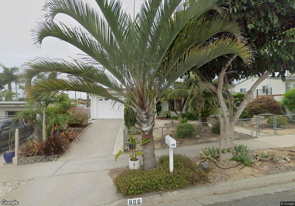
806 Santa Paula St Oceanside, CA 92058
East Side Capistrano NeighborhoodEstimated Value: $731,000 - $931,000
3
Beds
1
Bath
996
Sq Ft
$807/Sq Ft
Est. Value
About This Home
This home is located at 806 Santa Paula St, Oceanside, CA 92058 and is currently estimated at $804,144, approximately $807 per square foot. 806 Santa Paula St is a home located in San Diego County with nearby schools including Oceanside High School and St. Mary Star Of The Sea Elementary School.
Ownership History
Date
Name
Owned For
Owner Type
Purchase Details
Closed on
Jun 27, 2001
Sold by
Mark Robert G and Kozak Victoria J
Bought by
Allen Terry L
Current Estimated Value
Home Financials for this Owner
Home Financials are based on the most recent Mortgage that was taken out on this home.
Original Mortgage
$199,599
Outstanding Balance
$77,312
Interest Rate
7.21%
Mortgage Type
FHA
Estimated Equity
$726,832
Purchase Details
Closed on
Jul 30, 1987
Create a Home Valuation Report for This Property
The Home Valuation Report is an in-depth analysis detailing your home's value as well as a comparison with similar homes in the area
Home Values in the Area
Average Home Value in this Area
Purchase History
| Date | Buyer | Sale Price | Title Company |
|---|---|---|---|
| Allen Terry L | $202,500 | First American Title | |
| -- | $78,000 | -- |
Source: Public Records
Mortgage History
| Date | Status | Borrower | Loan Amount |
|---|---|---|---|
| Open | Allen Terry L | $199,599 |
Source: Public Records
Tax History Compared to Growth
Tax History
| Year | Tax Paid | Tax Assessment Tax Assessment Total Assessment is a certain percentage of the fair market value that is determined by local assessors to be the total taxable value of land and additions on the property. | Land | Improvement |
|---|---|---|---|---|
| 2025 | $3,252 | $299,128 | $177,264 | $121,864 |
| 2024 | $3,252 | $293,264 | $173,789 | $119,475 |
| 2023 | $3,150 | $287,515 | $170,382 | $117,133 |
| 2022 | $3,101 | $281,879 | $167,042 | $114,837 |
| 2021 | $3,112 | $276,353 | $163,767 | $112,586 |
| 2020 | $3,016 | $273,520 | $162,088 | $111,432 |
| 2019 | $2,927 | $268,158 | $158,910 | $109,248 |
| 2018 | $2,895 | $262,901 | $155,795 | $107,106 |
| 2017 | $71 | $257,747 | $152,741 | $105,006 |
| 2016 | $2,747 | $252,695 | $149,747 | $102,948 |
| 2015 | $2,666 | $248,900 | $147,498 | $101,402 |
| 2014 | $2,563 | $244,025 | $144,609 | $99,416 |
Source: Public Records
Map
Nearby Homes
- 1200 Harbor Dr N Unit 15B
- 1200 Harbor Dr N Unit 9A
- 1708 Loretta St
- 1019 Costa Pacifica Way Unit 1210
- 900 N Cleveland St Unit 103
- 900 N Cleveland St Unit 113
- 1417 Lemon St
- 430 Stoney Point Way Unit 124
- 445 Ribbon Beach Way Unit 278
- 718-20 N Freeman St
- 509 N Horne St
- 405 Stoney Point Way Unit 96
- 1202 N Pacific St Unit 307A
- 1202 N Pacific St Unit 106B
- 1202 N Pacific St Unit 203A
- 1202 N Pacific St Unit 204A
- 1202 N Pacific St Unit 101B
- 421 N Weitzel St
- 812 N Cleveland St Unit 1
- 812 N Cleveland St Unit 3
- 808 Santa Paula St
- 804 Santa Paula St
- 810 Santa Paula St
- 807 Santa Paula St
- 1502 San Jose St Unit 4
- 802 Santa Paula St
- 812 Santa Paula St
- 1501 San Jose St
- 1501 San Mateo St
- 1506 San Jose St
- 1503 San Jose St
- 814 Santa Paula St
- 1508 San Jose St
- 1505 San Jose St
- 1505 San Mateo St Unit 7
- 1505 -1507 San Mateo St
- 1510 San Jose St Unit 12
- 1502 San Mateo St Unit 4
- 816 Santa Paula St
- 1509 San Mateo St