8086 Wind Drift Cir Brownsburg, IN 46112
Estimated Value: $422,000 - $567,262
5
Beds
3
Baths
3,664
Sq Ft
$138/Sq Ft
Est. Value
About This Home
This home is located at 8086 Wind Drift Cir, Brownsburg, IN 46112 and is currently estimated at $504,066, approximately $137 per square foot. 8086 Wind Drift Cir is a home located in Hendricks County with nearby schools including Brownsburg East Middle School, Brownsburg High School, and Bethesda Christian Schools.
Ownership History
Date
Name
Owned For
Owner Type
Purchase Details
Closed on
Apr 3, 2006
Sold by
Mark A Poliak Revocable Living Trust
Bought by
Minglin Lance A and Minglin Michelle L
Current Estimated Value
Home Financials for this Owner
Home Financials are based on the most recent Mortgage that was taken out on this home.
Original Mortgage
$196,900
Interest Rate
5.93%
Mortgage Type
New Conventional
Purchase Details
Closed on
Feb 3, 2003
Sold by
Poliak Mark A
Bought by
The Mark A Poliak Revocable Living Trust
Create a Home Valuation Report for This Property
The Home Valuation Report is an in-depth analysis detailing your home's value as well as a comparison with similar homes in the area
Home Values in the Area
Average Home Value in this Area
Purchase History
| Date | Buyer | Sale Price | Title Company |
|---|---|---|---|
| Minglin Lance A | -- | None Available | |
| The Mark A Poliak Revocable Living Trust | -- | -- |
Source: Public Records
Mortgage History
| Date | Status | Borrower | Loan Amount |
|---|---|---|---|
| Previous Owner | Minglin Lance A | $196,900 |
Source: Public Records
Tax History Compared to Growth
Tax History
| Year | Tax Paid | Tax Assessment Tax Assessment Total Assessment is a certain percentage of the fair market value that is determined by local assessors to be the total taxable value of land and additions on the property. | Land | Improvement |
|---|---|---|---|---|
| 2024 | $5,452 | $535,200 | $69,600 | $465,600 |
| 2023 | $5,118 | $501,800 | $63,400 | $438,400 |
| 2022 | $4,718 | $461,800 | $60,100 | $401,700 |
| 2021 | $4,133 | $408,300 | $60,100 | $348,200 |
| 2020 | $3,931 | $383,100 | $60,100 | $323,000 |
| 2019 | $3,931 | $383,100 | $60,100 | $323,000 |
| 2018 | $3,686 | $365,600 | $59,600 | $306,000 |
| 2017 | $3,448 | $341,800 | $54,700 | $287,100 |
| 2016 | $3,322 | $329,200 | $54,700 | $274,500 |
| 2014 | $2,758 | $275,800 | $52,700 | $223,100 |
Source: Public Records
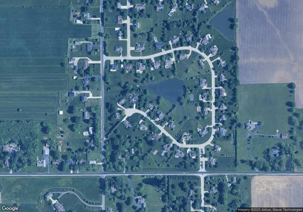
Map
Nearby Homes
- 9758 Nicole Ln
- 7310 E County Road 1000 N
- 9345 N County Road 800 E
- 10705 N State Road 267
- 10496 N State Road 267
- 9311 Shady Bend
- 6872 E County Road 1000 N
- 4990 E County Road 750 S
- 7446 Legends Way
- 6736 Sonora Blvd
- 6027 Brentwood Trace
- 9885 E County Road 1000 N
- 6801 S 425 E
- 6901 S 425 E
- 8149 Northpoint Dr
- 5685 Stetson Dr
- 7820 Highland Park Dr
- 7101 Oak Trace Ln
- 10810 Arendale Dr
- 10848 Sablecliff Way
- 8108 Wind Drift Cir
- 8064 Wind Drift Cir
- 8091 Wind Drift Cir
- 10310 Nicole Dr
- 8140 Wind Drift Cir
- 10292 Nicole Dr
- 8042 Wind Drift Cir
- 8119 Wind Drift Cir
- 10336 Nicole Dr
- 8053 Wind Drift Cir
- 10258 Nicole Dr
- 8036 Wind Drift Cir
- 10358 Nicole Dr
- 10114 Nicole Dr
- 8186 Wind Drift Cir
- 8155 Wind Drift Cir
- 10160 Nicole Dr
- 10238 Nicole Dr
- 10138 Nicole Dr
- 10202 Nicole Dr