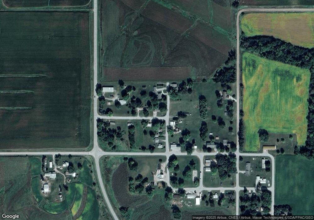
8088 Safari St Reasnor, IA 50232
Estimated Value: $141,784 - $352,000
2
Beds
1
Bath
1,568
Sq Ft
$160/Sq Ft
Est. Value
About This Home
This home is located at 8088 Safari St, Reasnor, IA 50232 and is currently estimated at $250,946, approximately $160 per square foot. 8088 Safari St is a home located in Jasper County with nearby schools including Lynnville-Sully Elementary School, Lynnville-Sully Middle School, and Lynnville-Sully High School.
Ownership History
Date
Name
Owned For
Owner Type
Purchase Details
Closed on
Feb 14, 2024
Sold by
White James R and White Dianna M
Bought by
Anderson Samuel W and Anderson Naomi R
Current Estimated Value
Purchase Details
Closed on
Mar 29, 2018
Sold by
Glen A & D J Foster Ret
Bought by
White James R and White Dianna M
Purchase Details
Closed on
Feb 8, 2012
Sold by
Foster Dorothy J
Bought by
Foster Glen A and Revoc Dorothy
Create a Home Valuation Report for This Property
The Home Valuation Report is an in-depth analysis detailing your home's value as well as a comparison with similar homes in the area
Home Values in the Area
Average Home Value in this Area
Purchase History
| Date | Buyer | Sale Price | Title Company |
|---|---|---|---|
| Anderson Samuel W | $50,000 | None Listed On Document | |
| White James R | $24,500 | -- | |
| Foster Glen A | -- | None Available |
Source: Public Records
Tax History Compared to Growth
Tax History
| Year | Tax Paid | Tax Assessment Tax Assessment Total Assessment is a certain percentage of the fair market value that is determined by local assessors to be the total taxable value of land and additions on the property. | Land | Improvement |
|---|---|---|---|---|
| 2025 | $1,066 | $115,920 | $16,170 | $99,750 |
| 2024 | $1,066 | $105,240 | $16,170 | $89,070 |
| 2023 | $1,032 | $105,240 | $16,170 | $89,070 |
| 2022 | $524 | $86,020 | $16,170 | $69,850 |
| 2021 | $490 | $79,440 | $16,170 | $63,270 |
| 2020 | $490 | $72,100 | $14,140 | $57,960 |
| 2019 | $680 | $54,650 | $0 | $0 |
| 2018 | $680 | $54,650 | $0 | $0 |
| 2017 | $668 | $53,060 | $0 | $0 |
| 2016 | $668 | $51,270 | $0 | $0 |
| 2015 | $630 | $51,270 | $0 | $0 |
| 2014 | $608 | $0 | $0 | $0 |
Source: Public Records
Map
Nearby Homes
- 7404 Sioux Ave
- 5760 S 80th Ave E
- 7233 Highway T 22 S
- 424 Newton St
- 6657 E 78th St S
- 11377 S 100th Ave E
- 5211 S 70th Ave E
- 11790 Highway F62 E
- 202 8th Ave
- 805 5th St
- 702 10th Ave
- 205 N 8th Ave
- 1006 2nd St
- 5122 E 84th St S
- 297 240th Place
- 13214 S 112th Ave E
- 413 210th Ave
- 4683 Legion St Unit ST80
- TBD 233rd Place
- TBD Dakota Dr