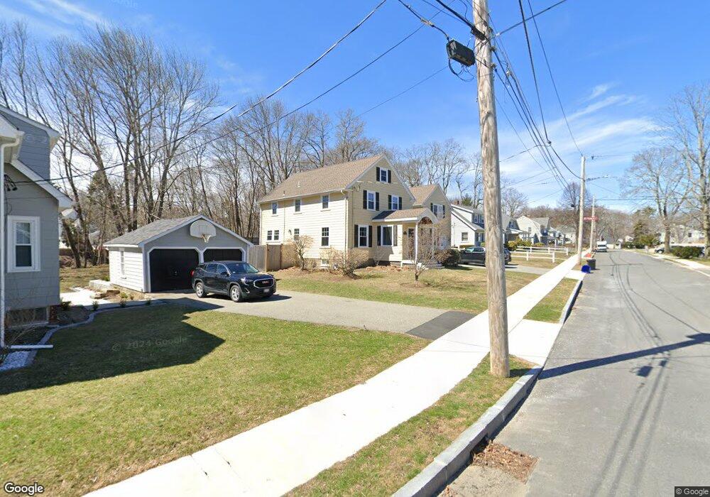
81 Vine St Reading, MA 01867
Estimated Value: $1,020,000 - $1,299,000
4
Beds
2
Baths
1,636
Sq Ft
$728/Sq Ft
Est. Value
About This Home
This home is located at 81 Vine St, Reading, MA 01867 and is currently estimated at $1,191,019, approximately $728 per square foot. 81 Vine St is a home located in Middlesex County with nearby schools including Alice M. Barrows Elementary School, Walter S. Parker Middle School, and Reading Memorial High School.
Ownership History
Date
Name
Owned For
Owner Type
Purchase Details
Closed on
Dec 21, 2021
Sold by
81 Vine Street Rt and Cooper
Bought by
Hines Erin and Hines Kevin
Current Estimated Value
Home Financials for this Owner
Home Financials are based on the most recent Mortgage that was taken out on this home.
Original Mortgage
$730,000
Outstanding Balance
$664,589
Interest Rate
2.98%
Mortgage Type
Purchase Money Mortgage
Estimated Equity
$526,430
Purchase Details
Closed on
Aug 15, 2018
Sold by
Cooper 3Rd William E and Cooper Barbara A
Bought by
81 Vine Street Rt and Cooper
Purchase Details
Closed on
Dec 16, 2013
Sold by
Mccarthy Daniel and Mccarthy Lindsey
Bought by
Cooper William E and Cooper Robert A
Home Financials for this Owner
Home Financials are based on the most recent Mortgage that was taken out on this home.
Original Mortgage
$417,000
Interest Rate
4.14%
Mortgage Type
New Conventional
Purchase Details
Closed on
Nov 22, 2006
Sold by
Brown Holding T and Latham
Bought by
Mccarthy Daniel and Mccarthy Lindsey
Create a Home Valuation Report for This Property
The Home Valuation Report is an in-depth analysis detailing your home's value as well as a comparison with similar homes in the area
Home Values in the Area
Average Home Value in this Area
Purchase History
| Date | Buyer | Sale Price | Title Company |
|---|---|---|---|
| Hines Erin | $1,100,000 | None Available | |
| 81 Vine Street Rt | -- | -- | |
| Cooper William E | $630,000 | -- | |
| Cooper William E | $630,000 | -- | |
| Mccarthy Daniel | $315,000 | -- | |
| Mccarthy Daniel | $315,000 | -- |
Source: Public Records
Mortgage History
| Date | Status | Borrower | Loan Amount |
|---|---|---|---|
| Open | Hines Erin | $730,000 | |
| Previous Owner | Cooper William E | $417,000 | |
| Previous Owner | Mccarthy Daniel | $340,000 | |
| Previous Owner | Mccarthy Daniel | $296,200 |
Source: Public Records
Tax History
| Year | Tax Paid | Tax Assessment Tax Assessment Total Assessment is a certain percentage of the fair market value that is determined by local assessors to be the total taxable value of land and additions on the property. | Land | Improvement |
|---|---|---|---|---|
| 2025 | $11,923 | $1,046,800 | $456,400 | $590,400 |
| 2024 | $12,061 | $1,029,100 | $448,700 | $580,400 |
| 2023 | $12,210 | $969,800 | $422,800 | $547,000 |
| 2022 | $11,828 | $887,300 | $386,800 | $500,500 |
| 2021 | $11,288 | $817,400 | $333,600 | $483,800 |
| 2020 | $11,034 | $791,000 | $322,800 | $468,200 |
| 2019 | $10,553 | $741,600 | $302,600 | $439,000 |
| 2018 | $9,792 | $706,000 | $288,100 | $417,900 |
| 2017 | $9,249 | $659,200 | $269,000 | $390,200 |
| 2016 | $9,245 | $637,600 | $270,000 | $367,600 |
| 2015 | $8,923 | $607,000 | $257,000 | $350,000 |
| 2014 | $7,100 | $481,700 | $239,100 | $242,600 |
Source: Public Records
Map
Nearby Homes
- 5 Washington St Unit D4
- 101 King St Unit 101
- 430 West St
- 35 Longfellow Rd
- 17 Courtyard Place Unit 17
- 16 Munroe Ave
- 69 Ash St
- 20 White Oaks Ln
- 99 Grove St
- 141 Johnson Woods Dr
- 30 Taylor Dr Unit 3011
- 18 Talbot Ln Unit 18
- 90 Sunnyside Ave
- 103 Oak St
- 150 Grove St
- 48 Village St Unit 1001
- 2 Inwood Dr Unit 1005
- 27 Audubon Rd
- 20 Pinevale Ave
- 141 Belmont St
Your Personal Tour Guide
Ask me questions while you tour the home.