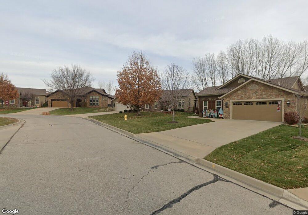
812 April Rain Rd Lawrence, KS 66049
West Lawrence NeighborhoodEstimated Value: $462,624 - $549,000
3
Beds
3
Baths
1,909
Sq Ft
$261/Sq Ft
Est. Value
About This Home
This home is located at 812 April Rain Rd, Lawrence, KS 66049 and is currently estimated at $497,656, approximately $260 per square foot. 812 April Rain Rd is a home located in Douglas County with nearby schools including Langston Hughes Elementary School, Southwest Middle School, and Lawrence Free State High School.
Ownership History
Date
Name
Owned For
Owner Type
Purchase Details
Closed on
Jun 13, 2012
Sold by
Highland Construction Inc
Bought by
Morgan Dana J and Morgan Sharon M
Current Estimated Value
Home Financials for this Owner
Home Financials are based on the most recent Mortgage that was taken out on this home.
Original Mortgage
$175,000
Interest Rate
2.87%
Mortgage Type
Adjustable Rate Mortgage/ARM
Create a Home Valuation Report for This Property
The Home Valuation Report is an in-depth analysis detailing your home's value as well as a comparison with similar homes in the area
Home Values in the Area
Average Home Value in this Area
Purchase History
| Date | Buyer | Sale Price | Title Company |
|---|---|---|---|
| Morgan Dana J | -- | Commerce Title |
Source: Public Records
Mortgage History
| Date | Status | Borrower | Loan Amount |
|---|---|---|---|
| Previous Owner | Morgan Dana J | $175,000 |
Source: Public Records
Tax History Compared to Growth
Tax History
| Year | Tax Paid | Tax Assessment Tax Assessment Total Assessment is a certain percentage of the fair market value that is determined by local assessors to be the total taxable value of land and additions on the property. | Land | Improvement |
|---|---|---|---|---|
| 2025 | $6,521 | $52,202 | $9,200 | $43,002 |
| 2024 | $6,292 | $50,383 | $7,475 | $42,908 |
| 2023 | $6,599 | $51,060 | $7,475 | $43,585 |
| 2022 | $5,963 | $45,874 | $7,475 | $38,399 |
| 2021 | $5,601 | $41,814 | $6,334 | $35,480 |
| 2020 | $5,366 | $40,273 | $6,334 | $33,939 |
| 2019 | $5,138 | $38,617 | $6,334 | $32,283 |
| 2018 | $5,152 | $38,444 | $6,334 | $32,110 |
| 2017 | $4,982 | $36,765 | $6,334 | $30,431 |
| 2016 | $4,732 | $36,478 | $5,753 | $30,725 |
| 2015 | -- | $35,949 | $5,753 | $30,196 |
| 2014 | -- | $35,087 | $5,750 | $29,337 |
Source: Public Records
Map
Nearby Homes
- 1017 Stoneridge Dr
- 1040 Stonecreek Dr
- 1033 Stonecreek Dr
- 5204 Fox Chase Dr
- 5204 Foxchase Dr
- 5117 Harvard Rd
- 5614 Chimney Rocks Cir
- 5245 Overland Dr Unit A15
- 5245 Overland Dr Unit C12
- 5245 Overland Dr Unit D4
- 5024 Cedar Grove Way
- 6204 Berando Ct
- 1202 Little Knife
- 311 Headwaters Dr
- 1347 Kanza Dr
- 1300 Research Park Dr
- 1120 Klein Ct
- 1315 Research Park Dr
- 904 Moundridge Dr
- 1115 Renaissance Dr
- 820 April Rain Rd
- 804 April Rain Rd
- 909 Stone Creek Dr
- 913 Stone Creek Dr
- 909 Stonecreek Dr
- 828 April Rain Rd
- 805 April Rain Rd
- 905 Stone Creek Dr
- 913 Stonecreek Dr
- 905 Stonecreek Dr
- 917 Stone Creek Dr
- 917 Stonecreek Dr
- 836 April Rain Rd
- 809 April Rain Rd
- 921 Stone Creek Dr
- 921 Stonecreek Dr
- 901 Stone Creek Dr
- 901 Stonecreek Dr
- 825 April Rain Rd
- 813 April Rain Rd