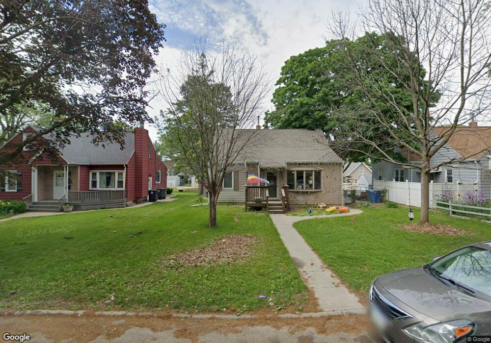
813 Bourland Ave Waterloo, IA 50702
Liberty Park NeighborhoodEstimated Value: $153,000 - $169,000
About This Home
This home is located at 813 Bourland Ave, Waterloo, IA 50702 and is currently estimated at $158,322, approximately $131 per square foot. 813 Bourland Ave is a home located in Black Hawk County with nearby schools including Kittrell Elementary School, Hoover Middle School, and West High School.
Ownership History
We collect this data history from publicly available records. To have your information removed, we recommend requesting removal directly through your county’s website.
Purchase Details
Home Financials for this Owner
Home Financials are based on the most recent Mortgage that was taken out on this home.Purchase Details
Home Financials for this Owner
Home Financials are based on the most recent Mortgage that was taken out on this home.Purchase Details
Home Financials for this Owner
Home Financials are based on the most recent Mortgage that was taken out on this home.Home Values in the Area
Average Home Value in this Area
Purchase History
We collect this data history from publicly available records. To have your information removed, we recommend requesting removal directly through your county’s website.
| Date | Buyer | Sale Price | Title Company |
|---|---|---|---|
| -- | Black Hawk Cnty Abstract & T | ||
| $113,000 | Black Hawk County Abstract & | ||
| $105,000 | None Available |
Mortgage History
We collect this data history from publicly available records. To have your information removed, we recommend requesting removal directly through your county’s website.
| Date | Status | Borrower | Loan Amount |
|---|---|---|---|
| Open | $94,400 | ||
| Previous Owner | $110,135 | ||
| Previous Owner | $94,500 |
Tax History
We collect this data history from publicly available records. To have your information removed, we recommend requesting removal directly through your county’s website.
| Year | Tax Paid | Tax Assessment Tax Assessment Total Assessment is a certain percentage of the fair market value that is determined by local assessors to be the total taxable value of land and additions on the property. | Land | Improvement |
|---|---|---|---|---|
| 2025 | $3,008 | $152,390 | $18,480 | $133,910 |
| 2024 | $3,008 | $138,680 | $18,480 | $120,200 |
| 2023 | $2,512 | $138,680 | $18,480 | $120,200 |
| 2022 | $2,444 | $114,340 | $18,480 | $95,860 |
| 2021 | $2,428 | $114,340 | $18,480 | $95,860 |
| 2020 | $2,388 | $107,200 | $14,520 | $92,680 |
| 2019 | $2,388 | $107,200 | $14,520 | $92,680 |
| 2018 | $2,390 | $107,200 | $14,520 | $92,680 |
| 2017 | $2,266 | $107,200 | $14,520 | $92,680 |
| 2016 | $2,234 | $107,200 | $14,520 | $92,680 |
| 2015 | $2,234 | $107,200 | $14,520 | $92,680 |
| 2014 | $2,164 | $102,330 | $14,520 | $87,810 |
Map
- 2224 W 7th St
- 922 E Mitchell Ave
- 1937 W 7th St
- 426 Cornwall Ave
- 1136 Cornwall Ave
- Lot #10 Denver St
- Lot # 13 Denver St
- Lot #15 Denver St
- 237 Miriam Dr
- Lot #17 Denver St
- 145 Cornwall Ave
- 1013 Hawthorne Ave
- 154 Morgan Rd
- 927 Burbank Ave
- 925 Forest Ave
- 1005 Forest Ave
- 129 Acadia St
- 1324 W 6th St
- 1228 Lyon Ave
- 314 W Mitchell Ave
- 810 Bourland Ave
- 2036 W 6th St
- 807 Bourland Ave
- 814 Bourland Ave
- 2114 W 6th St
- 2021 W 6th St
- 2030 W 6th St
- 2026 W 6th St
- 2106 W 6th St
- 2121 W 6th St
- 820 Bourland Ave
- 817 Bourland Ave
- 2020 W 6th St
- 811 Cornwall Ave
- 2016 W 6th St
- 807 Cornwall Ave
- 821 Bourland Ave
- 2120 W 6th St
- 821 Cornwall Ave
- 2010 W 6th St
Ask me questions while you tour the home.