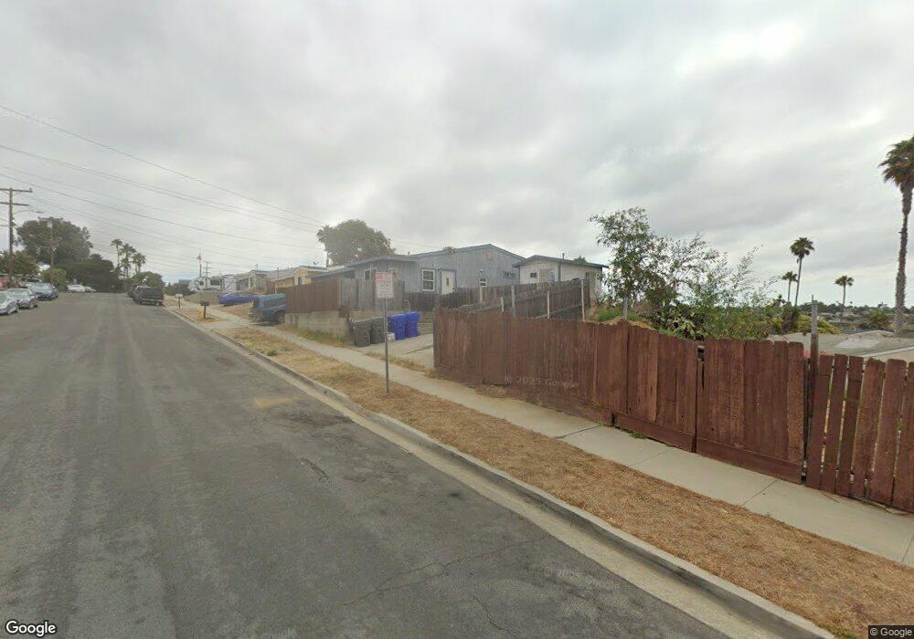
813 Santa Paula St Unit 15 Oceanside, CA 92058
East Side Capistrano NeighborhoodEstimated Value: $828,270 - $1,080,000
3
Beds
2
Baths
1,230
Sq Ft
$784/Sq Ft
Est. Value
About This Home
This home is located at 813 Santa Paula St Unit 15, Oceanside, CA 92058 and is currently estimated at $964,568, approximately $784 per square foot. 813 Santa Paula St Unit 15 is a home located in San Diego County with nearby schools including Oceanside High School and St. Mary Star Of The Sea Elementary School.
Ownership History
Date
Name
Owned For
Owner Type
Purchase Details
Closed on
Mar 23, 2024
Sold by
Barrett James Robert
Bought by
James Robert Barrett Living Trust and Barrett
Current Estimated Value
Purchase Details
Closed on
May 1, 1997
Sold by
Barbara Barrett
Bought by
Barrett James Robert
Purchase Details
Closed on
May 1, 1992
Purchase Details
Closed on
Dec 12, 1986
Purchase Details
Closed on
Apr 19, 1983
Create a Home Valuation Report for This Property
The Home Valuation Report is an in-depth analysis detailing your home's value as well as a comparison with similar homes in the area
Home Values in the Area
Average Home Value in this Area
Purchase History
| Date | Buyer | Sale Price | Title Company |
|---|---|---|---|
| James Robert Barrett Living Trust | -- | None Listed On Document | |
| Barrett James Robert | -- | -- | |
| -- | $136,000 | -- | |
| -- | $92,000 | -- | |
| -- | $75,000 | -- |
Source: Public Records
Tax History Compared to Growth
Tax History
| Year | Tax Paid | Tax Assessment Tax Assessment Total Assessment is a certain percentage of the fair market value that is determined by local assessors to be the total taxable value of land and additions on the property. | Land | Improvement |
|---|---|---|---|---|
| 2025 | $2,625 | $240,460 | $141,449 | $99,011 |
| 2024 | $2,625 | $235,746 | $138,676 | $97,070 |
| 2023 | $2,543 | $231,124 | $135,957 | $95,167 |
| 2022 | $2,504 | $226,593 | $133,292 | $93,301 |
| 2021 | $2,512 | $222,151 | $130,679 | $91,472 |
| 2020 | $2,435 | $219,875 | $129,340 | $90,535 |
| 2019 | $2,364 | $215,564 | $126,804 | $88,760 |
| 2018 | $2,338 | $211,338 | $124,318 | $87,020 |
| 2017 | $2,294 | $207,195 | $121,881 | $85,314 |
| 2016 | $2,218 | $203,134 | $119,492 | $83,642 |
| 2015 | $2,153 | $200,084 | $117,698 | $82,386 |
| 2014 | $2,071 | $196,166 | $115,393 | $80,773 |
Source: Public Records
Map
Nearby Homes
- 1708 Loretta St
- 1200 Harbor Dr N Unit 15B
- 1200 Harbor Dr N Unit 9A
- 1019 Costa Pacifica Way Unit 1210
- 430 Stoney Point Way Unit 124
- 445 Ribbon Beach Way Unit 278
- 1417 Lemon St
- 701 N Nevada St
- 415 Stoney Point Way Unit 106
- 405 Stoney Point Way Unit 96
- 900 N Cleveland St Unit 103
- 900 N Cleveland St Unit 113
- 718-20 N Freeman St
- 585 Lands End Way Unit 232
- 509 N Horne St
- 421 N Weitzel St
- 1346 Bush St
- 1202 N Pacific St Unit 307A
- 1202 N Pacific St Unit 106B
- 1202 N Pacific St Unit 203A
- 817 Santa Paula St Unit 19
- 1506 San Mateo St Unit 8
- 1502 San Mateo St Unit 4
- 1510 San Mateo St Unit 12
- 1510 San Mateo St
- 821 Santa Paula St Unit 23
- 1514 San Mateo St Unit 16
- 820 Santa Paula St
- 818 Santa Paula St
- 822 Santa Paula St
- 816 Santa Paula St
- 822 Capistrano Dr Unit 24
- 825 Santa Paula St Unit 27
- 824 Santa Paula St
- 814 Santa Paula St
- 826 Capistrano Dr Unit 28
- 825 Santa Paula St
- 825 Santa Paula St Unit PAULA
- 1509 San Mateo St
- 1505 -1507 San Mateo St