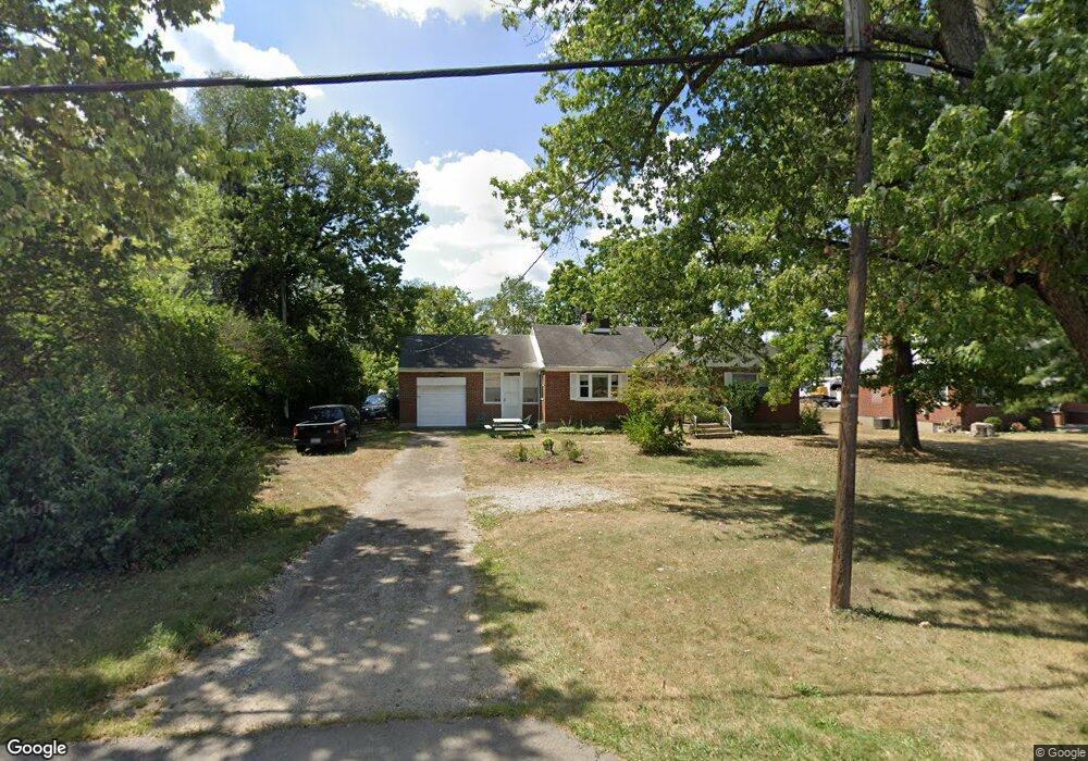
8161 Broadwell Rd Cincinnati, OH 45244
Estimated Value: $202,000 - $293,000
2
Beds
1
Bath
1,190
Sq Ft
$207/Sq Ft
Est. Value
About This Home
This home is located at 8161 Broadwell Rd, Cincinnati, OH 45244 and is currently estimated at $245,956, approximately $206 per square foot. 8161 Broadwell Rd is a home located in Hamilton County with nearby schools including Mercer Elementary School, Nagel Middle School, and Turpin High School.
Ownership History
Date
Name
Owned For
Owner Type
Purchase Details
Closed on
Mar 22, 1995
Sold by
Palmer Melissa M
Bought by
Stewart Robert and Stewart Theresa
Current Estimated Value
Home Financials for this Owner
Home Financials are based on the most recent Mortgage that was taken out on this home.
Original Mortgage
$66,400
Interest Rate
8.91%
Create a Home Valuation Report for This Property
The Home Valuation Report is an in-depth analysis detailing your home's value as well as a comparison with similar homes in the area
Home Values in the Area
Average Home Value in this Area
Purchase History
| Date | Buyer | Sale Price | Title Company |
|---|---|---|---|
| Stewart Robert | -- | -- |
Source: Public Records
Mortgage History
| Date | Status | Borrower | Loan Amount |
|---|---|---|---|
| Closed | Stewart Robert | $66,400 |
Source: Public Records
Tax History Compared to Growth
Tax History
| Year | Tax Paid | Tax Assessment Tax Assessment Total Assessment is a certain percentage of the fair market value that is determined by local assessors to be the total taxable value of land and additions on the property. | Land | Improvement |
|---|---|---|---|---|
| 2024 | $3,896 | $61,300 | $7,102 | $54,198 |
| 2023 | $3,657 | $61,300 | $7,102 | $54,198 |
| 2022 | $2,298 | $34,195 | $7,021 | $27,174 |
| 2021 | $2,285 | $34,195 | $7,021 | $27,174 |
| 2020 | $2,260 | $34,195 | $7,021 | $27,174 |
| 2019 | $2,213 | $30,262 | $6,213 | $24,049 |
| 2018 | $2,076 | $30,262 | $6,213 | $24,049 |
| 2017 | $1,985 | $30,262 | $6,213 | $24,049 |
| 2016 | $2,083 | $30,716 | $6,027 | $24,689 |
| 2015 | $2,005 | $30,716 | $6,027 | $24,689 |
| 2014 | $2,003 | $30,716 | $6,027 | $24,689 |
| 2013 | $1,959 | $31,665 | $6,213 | $25,452 |
Source: Public Records
Map
Nearby Homes
- 0 Pearl St Unit 1225343
- 0 Pearl St Unit 1841806
- 3975 Mount Carmel Rd
- 4885 Beechwood Rd
- 3 Noel Ln
- 831 Douglas Ave
- 7976 Ashley View Dr
- 814 Floral Ave
- 765 Wooster Pike
- 580 Lang Rd
- 481 Big Moe Dr
- 473 Richard Ln
- 4938 Beechwood Rd
- 8217 Wycliffe Dr
- 557 Williamsburg Ct
- 5055 Drake Rd
- 4669 Bluejacket Rd
- 7222 English Dr Unit 6305
- 7124 Thorndale Ln
- 9280 Indian Hill Rd
- 8155 Broadwell Rd
- 8139 Broadwell Rd
- 8131 Broadwell Rd
- 8121 Broadwell Rd
- 8121 Broadwell Rd
- 8099 Broadwell Rd
- 8067 Broadwell Rd
- 8057 Broadwell Rd
- 7973 Broadwell Rd
- 7968 Broadwell Rd
- 0 Round Bottom Rd Unit 1358581
- 4178 Round Bottom Rd
- 4138 Round Bottom Rd
- 4138 Round Bottom Rd
- 4138 Round Bottom Rd
- 4138 Round Bottom Rd
- 4162 Round Bottom Rd
- 4207 Round Bottom Rd
- 4217 Round Bottom Rd
- 4150 Round Bottom Rd