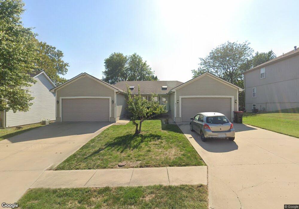
817 NE Independence Ct Lees Summit, MO 64063
Estimated Value: $321,000 - $398,494
6
Beds
4
Baths
2,136
Sq Ft
$176/Sq Ft
Est. Value
About This Home
This home is located at 817 NE Independence Ct, Lees Summit, MO 64063 and is currently estimated at $375,624, approximately $175 per square foot. 817 NE Independence Ct is a home located in Jackson County with nearby schools including Lee's Summit Elementary School, Pleasant Lea Middle School, and Lee's Summit Senior High School.
Ownership History
Date
Name
Owned For
Owner Type
Purchase Details
Closed on
Jul 23, 2018
Sold by
Page Bradley J and Page Marcy B
Bought by
Bpmp Holdings Llc
Current Estimated Value
Purchase Details
Closed on
Apr 6, 2001
Sold by
Carroll Todd and Carroll Cindy
Bought by
Page Bradley J and Page Marcy B
Home Financials for this Owner
Home Financials are based on the most recent Mortgage that was taken out on this home.
Original Mortgage
$175,600
Interest Rate
7%
Mortgage Type
Purchase Money Mortgage
Create a Home Valuation Report for This Property
The Home Valuation Report is an in-depth analysis detailing your home's value as well as a comparison with similar homes in the area
Home Values in the Area
Average Home Value in this Area
Purchase History
| Date | Buyer | Sale Price | Title Company |
|---|---|---|---|
| Bpmp Holdings Llc | -- | None Available | |
| Page Bradley J | -- | Assured Quality Title Co |
Source: Public Records
Mortgage History
| Date | Status | Borrower | Loan Amount |
|---|---|---|---|
| Previous Owner | Page Bradley J | $175,600 |
Source: Public Records
Tax History Compared to Growth
Tax History
| Year | Tax Paid | Tax Assessment Tax Assessment Total Assessment is a certain percentage of the fair market value that is determined by local assessors to be the total taxable value of land and additions on the property. | Land | Improvement |
|---|---|---|---|---|
| 2025 | $4,663 | $61,562 | $7,929 | $53,633 |
| 2024 | $4,629 | $64,573 | $9,726 | $54,847 |
| 2023 | $4,629 | $64,573 | $5,719 | $58,854 |
| 2022 | $3,758 | $46,550 | $7,021 | $39,529 |
| 2021 | $3,836 | $46,550 | $7,021 | $39,529 |
| 2020 | $3,399 | $40,851 | $7,021 | $33,830 |
| 2019 | $3,306 | $50,078 | $7,021 | $43,057 |
| 2018 | $3,282 | $37,632 | $4,403 | $33,229 |
| 2017 | $3,282 | $37,632 | $4,403 | $33,229 |
| 2016 | $3,233 | $36,689 | $3,610 | $33,079 |
| 2014 | $3,245 | $36,100 | $3,602 | $32,498 |
Source: Public Records
Map
Nearby Homes
- 304 NE Independence Ave Unit B
- 710 SE High St
- 705/707 SE High N A
- 120 SE Ridgeview Ct
- 603 SE 3rd St
- 125 SE Ridgeview Dr
- 705 NE Chipman Rd
- 1004 SE 2nd St
- 519 SE 4th St
- 1010 SE 2nd Terrace
- 319 SE Ridgeview Dr
- 705 NE Noeleen Ln
- 605 SE 5th St
- 109 SE Brentwood Dr
- 503 SE 5th St
- 812 NE Swann Rd
- 403 SE Richardson Place
- 307 SE Westwind Dr
- 1115 NE Columbus St
- 1111 SE 2nd Ct
- 809 NE Independence Ct
- 809 NE Independence Ct
- 825 NE Independence Ct
- 816 NE Independence Ct
- 833 NE Independence Ct
- 828 NE Independence Ct
- 824 NE Independence Ct
- 808 NE Independence Ct
- 801 NE Independence Ct
- 217 NE Independence Ave
- 217 NE Independence Ave
- 832 NE Independence Ct
- 301 NE Independence Ave
- 836 NE Independence Ct
- 841 NE Independence Ct
- 312 NE Independence Ave
- 312 NE Independence Ave Unit B
- 312 NE Independence Ave Unit A
- 400 NE Independence Avenue - A
- 306 NE Independence Ave Unit A