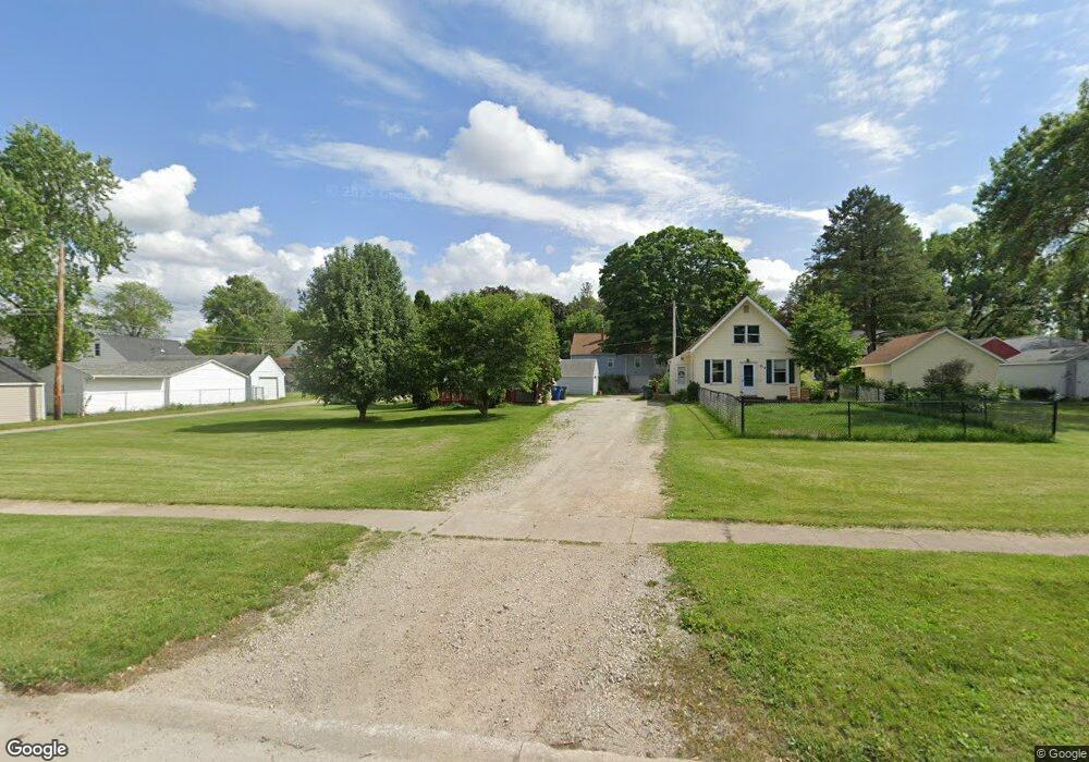
818 E Mitchell Ave Waterloo, IA 50702
Liberty Park NeighborhoodEstimated Value: $105,169 - $139,000
2
Beds
1
Bath
816
Sq Ft
$142/Sq Ft
Est. Value
About This Home
This home is located at 818 E Mitchell Ave, Waterloo, IA 50702 and is currently estimated at $115,792, approximately $141 per square foot. 818 E Mitchell Ave is a home located in Black Hawk County with nearby schools including Kittrell Elementary School, Hoover Middle School, and West High School.
Ownership History
Date
Name
Owned For
Owner Type
Purchase Details
Closed on
Jun 21, 2021
Sold by
Mcfarlane Steve
Bought by
Mcfarlane Arnold
Current Estimated Value
Home Financials for this Owner
Home Financials are based on the most recent Mortgage that was taken out on this home.
Original Mortgage
$81,480
Outstanding Balance
$73,286
Interest Rate
2.9%
Mortgage Type
New Conventional
Estimated Equity
$42,506
Create a Home Valuation Report for This Property
The Home Valuation Report is an in-depth analysis detailing your home's value as well as a comparison with similar homes in the area
Home Values in the Area
Average Home Value in this Area
Purchase History
| Date | Buyer | Sale Price | Title Company |
|---|---|---|---|
| Mcfarlane Arnold | $84,000 | Black Hawk Cnty Abstract Co |
Source: Public Records
Mortgage History
| Date | Status | Borrower | Loan Amount |
|---|---|---|---|
| Open | Mcfarlane Arnold | $81,480 |
Source: Public Records
Tax History
| Year | Tax Paid | Tax Assessment Tax Assessment Total Assessment is a certain percentage of the fair market value that is determined by local assessors to be the total taxable value of land and additions on the property. | Land | Improvement |
|---|---|---|---|---|
| 2025 | $1,306 | $92,120 | $14,110 | $78,010 |
| 2024 | $1,306 | $84,130 | $14,110 | $70,020 |
| 2023 | $1,350 | $84,130 | $14,110 | $70,020 |
| 2022 | $1,312 | $70,320 | $14,110 | $56,210 |
| 2021 | $1,460 | $70,320 | $14,110 | $56,210 |
| 2020 | $1,438 | $64,490 | $11,090 | $53,400 |
| 2019 | $1,438 | $64,490 | $11,090 | $53,400 |
| 2018 | $1,228 | $63,840 | $11,090 | $52,750 |
| 2017 | $1,270 | $63,840 | $11,090 | $52,750 |
| 2016 | $1,250 | $63,840 | $11,090 | $52,750 |
| 2015 | $1,250 | $63,840 | $11,090 | $52,750 |
| 2014 | $1,210 | $61,060 | $11,090 | $49,970 |
Source: Public Records
Map
Nearby Homes
- 814 E Mitchell Ave
- 922 E Mitchell Ave
- 1809 Baltimore St
- 819 Easton Ave
- 1107 E Mitchell Ave
- 1141 E Mitchell Ave
- 1103 Easton Ave
- 812 Hawthorne Ave
- 1171 Liberty Ave
- 216 Bourland Ave
- 1150 Easton Ave
- 2425 Randolph St
- 1115 Hawthorne Ave
- 2527 Randolph St
- 1017 Forest Ave
- 2547 W 9th St
- 1219 Hammond Ave
- 826 Williston Ave
- 1002 E Ridgeway Ave
- 1125 Bertch Ave
- 804 E Mitchell Ave
- 2008 W 7th St
- 817 Bourland Ave
- 821 Bourland Ave
- 813 Bourland Ave
- 2012 W 7th St
- 800 E Mitchell Ave
- 1960 W 7th St
- 2000 W 7th St
- 2016 W 7th St
- 2021 W 6th St
- 805 E Mitchell Ave
- 1955 W 6th St
- 1956 W 7th St
- 2022 W 7th St
- 807 Bourland Ave
- 1951 W 6th St
- 1952 W 7th St
- 2010 W 6th St
- 2000 W 6th St
Your Personal Tour Guide
Ask me questions while you tour the home.