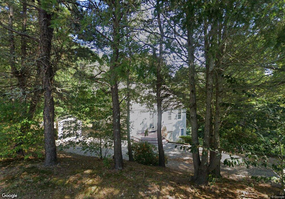
82 Furlong Way Cotuit, MA 02635
Cotuit NeighborhoodEstimated Value: $681,000 - $698,000
3
Beds
2
Baths
1,432
Sq Ft
$481/Sq Ft
Est. Value
About This Home
This home is located at 82 Furlong Way, Cotuit, MA 02635 and is currently estimated at $688,477, approximately $480 per square foot. 82 Furlong Way is a home located in Barnstable County with nearby schools including West Villages Elementary School, Barnstable United Elementary School, and Barnstable Intermediate School.
Ownership History
Date
Name
Owned For
Owner Type
Purchase Details
Closed on
Aug 16, 2022
Sold by
Neves Jean M
Bought by
Jean M Neves Lt
Current Estimated Value
Purchase Details
Closed on
Oct 7, 2005
Sold by
Bartol Marian M and Bartol Samuel W
Bought by
Neves Jean M
Home Financials for this Owner
Home Financials are based on the most recent Mortgage that was taken out on this home.
Original Mortgage
$200,000
Interest Rate
5.81%
Mortgage Type
Purchase Money Mortgage
Purchase Details
Closed on
Jul 14, 1995
Sold by
Grover Tracie E and Avallone Patricia M
Bought by
Bartol Samuel W and Bartol Marian M
Create a Home Valuation Report for This Property
The Home Valuation Report is an in-depth analysis detailing your home's value as well as a comparison with similar homes in the area
Home Values in the Area
Average Home Value in this Area
Purchase History
| Date | Buyer | Sale Price | Title Company |
|---|---|---|---|
| Jean M Neves Lt | -- | None Available | |
| Neves Jean M | $349,000 | -- | |
| Bartol Samuel W | $145,000 | -- |
Source: Public Records
Mortgage History
| Date | Status | Borrower | Loan Amount |
|---|---|---|---|
| Previous Owner | Neves Jean M | $200,000 | |
| Previous Owner | Bartol Samuel W | $50,000 |
Source: Public Records
Tax History Compared to Growth
Tax History
| Year | Tax Paid | Tax Assessment Tax Assessment Total Assessment is a certain percentage of the fair market value that is determined by local assessors to be the total taxable value of land and additions on the property. | Land | Improvement |
|---|---|---|---|---|
| 2025 | $4,558 | $545,900 | $218,200 | $327,700 |
| 2024 | $4,157 | $527,500 | $218,200 | $309,300 |
| 2023 | $4,000 | $477,900 | $198,400 | $279,500 |
| 2022 | $3,864 | $373,700 | $136,400 | $237,300 |
| 2021 | $3,816 | $345,600 | $138,500 | $207,100 |
| 2020 | $3,988 | $340,600 | $138,500 | $202,100 |
| 2019 | $3,928 | $330,600 | $146,900 | $183,700 |
| 2018 | $3,943 | $331,900 | $171,200 | $160,700 |
| 2017 | $3,837 | $325,200 | $171,200 | $154,000 |
| 2016 | $3,761 | $326,800 | $172,800 | $154,000 |
| 2015 | $3,607 | $313,100 | $168,900 | $144,200 |
Source: Public Records
Map
Nearby Homes
- 220 Dunrobin Rd
- 226 Dunrobin Rd
- 428 Main St
- 70 Cape Dr Unit 14D
- 783
- 4701 Falmouth Rd
- 70 Simons Rd Unit E
- 70 Simons Rd
- 45 Simons Rd Unit A
- 15 E Riverview Ave Unit 15E
- 15 Hampton Ct Unit 15
- 15 Hampton Ct
- 75 Bob White Run
- 16 Spring Brook Ln
- 15 Riverview Ave Unit 15E
- 320 Quinaquisset Ave
- 80 Curlew Way
- 6 Mayfair Ct
- 6 Mayfair Ct Unit 6
- 24 Hampton Ct Unit 24
- 94 Furlong Way
- 68 Furlong Way
- 75 Furlong Way
- 116 Old Kings Rd
- 104 Old Kings Rd
- 108 Furlong Way
- 95 Furlong Way
- 130 Old Kings Rd
- 59 Furlong Way
- 54 Furlong Way
- 171 Trout Brook Rd
- 182 Trout Brook Rd
- 92 Old Kings Rd
- 140 Old Kings Rd
- 113 Furlong Way
- 170 Trout Brook Rd
- 80 Old Kings Rd
- 80 Old Kings Rd Unit 80
- 118 Furlong Way
- 41 Furlong Way