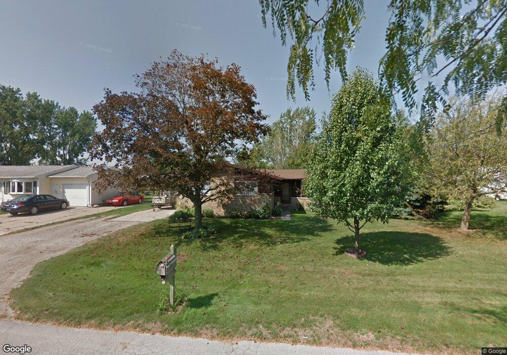
82 Stanley Dr Bay City, MI 48708
Estimated Value: $185,000
--
Bed
1
Bath
1,330
Sq Ft
$139/Sq Ft
Est. Value
About This Home
This home is located at 82 Stanley Dr, Bay City, MI 48708 and is currently estimated at $185,000, approximately $139 per square foot. 82 Stanley Dr is a home located in Bay County with nearby schools including Hampton Elementary School, Handy Middle School, and Bay City Central High School.
Ownership History
Date
Name
Owned For
Owner Type
Purchase Details
Closed on
Mar 23, 1998
Sold by
Douglas Scott R and Douglas Connie M
Bought by
Douglas Scott R and Douglas Corinne M
Current Estimated Value
Purchase Details
Closed on
May 25, 1974
Sold by
Gruszynski Edwin and Gruszynski Albin
Bought by
Douglas Scott R and Douglas Corrine M
Purchase Details
Closed on
Jul 1, 1971
Sold by
Wingfein Andrew and Wingfein Suzanna
Bought by
Douglas Scott R and Douglas Corrine M
Purchase Details
Closed on
Sep 1, 1964
Sold by
Brawt Clare and Brawt Elaine H
Bought by
Douglas Scott R and Douglas Corrine M
Create a Home Valuation Report for This Property
The Home Valuation Report is an in-depth analysis detailing your home's value as well as a comparison with similar homes in the area
Home Values in the Area
Average Home Value in this Area
Purchase History
| Date | Buyer | Sale Price | Title Company |
|---|---|---|---|
| Douglas Scott R | -- | Attorney | |
| Douglas Scott R | $4,500 | -- | |
| Douglas Scott R | $2,000 | -- | |
| Douglas Scott R | -- | -- |
Source: Public Records
Tax History Compared to Growth
Tax History
| Year | Tax Paid | Tax Assessment Tax Assessment Total Assessment is a certain percentage of the fair market value that is determined by local assessors to be the total taxable value of land and additions on the property. | Land | Improvement |
|---|---|---|---|---|
| 2024 | $1,318 | $79,600 | $0 | $0 |
| 2023 | $2,243 | $75,100 | $0 | $0 |
| 2022 | $2,149 | $66,500 | $0 | $0 |
| 2021 | $2,007 | $60,500 | $60,500 | $0 |
| 2020 | $1,936 | $56,600 | $56,600 | $0 |
| 2019 | $1,879 | $51,500 | $0 | $0 |
| 2018 | $1,835 | $53,500 | $10,400 | $43,100 |
| 2017 | $1,792 | $52,300 | $0 | $0 |
| 2016 | $1,798 | $49,900 | $0 | $49,900 |
| 2015 | $1,746 | $49,400 | $0 | $49,400 |
| 2014 | $1,746 | $48,100 | $0 | $48,100 |
Source: Public Records
Map
Nearby Homes
- 143 Tierney Rd
- 111 S Lincoln Rd
- 2300 S Lincoln St
- 2001 S Lincoln St
- 2209 32nd St
- 1802 34th St
- 2004 32nd St
- 1711 S Van Buren St
- 2107 S Jefferson St
- 2810 Mix Ave
- 2915 Garfield Ave
- 1207 Hine St
- 2401 Kosciuszko Ave
- 1206 S Farragut St
- 2311 22nd St
- 2028 Kosciuszko Ave
- 2710 22nd St
- 1014 S Farragut St
- 1005 S Mclellan St
- 2631 Simon St