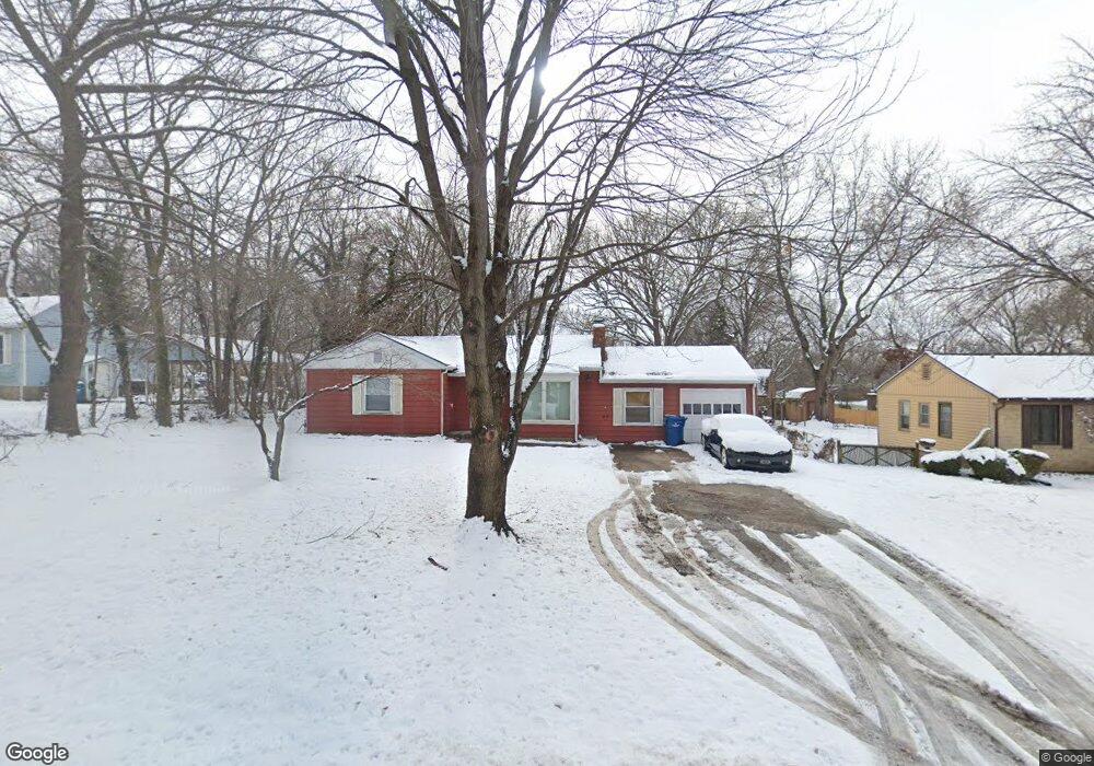
821 W 31st St Independence, MO 64055
Three Trails NeighborhoodEstimated Value: $198,000 - $217,000
2
Beds
1
Bath
1,254
Sq Ft
$163/Sq Ft
Est. Value
About This Home
This home is located at 821 W 31st St, Independence, MO 64055 and is currently estimated at $204,765, approximately $163 per square foot. 821 W 31st St is a home located in Jackson County with nearby schools including John W. Luff Elementary School, Bridger Middle School, and Pioneer Ridge Middle School.
Ownership History
Date
Name
Owned For
Owner Type
Purchase Details
Closed on
Jul 30, 2025
Sold by
Merideth Family Trust and Merideth Sherry J
Bought by
Miller Jamie
Current Estimated Value
Home Financials for this Owner
Home Financials are based on the most recent Mortgage that was taken out on this home.
Original Mortgage
$153,459
Outstanding Balance
$153,328
Interest Rate
6.81%
Mortgage Type
FHA
Estimated Equity
$51,437
Create a Home Valuation Report for This Property
The Home Valuation Report is an in-depth analysis detailing your home's value as well as a comparison with similar homes in the area
Home Values in the Area
Average Home Value in this Area
Purchase History
| Date | Buyer | Sale Price | Title Company |
|---|---|---|---|
| Miller Jamie | -- | Security 1St Title |
Source: Public Records
Mortgage History
| Date | Status | Borrower | Loan Amount |
|---|---|---|---|
| Open | Miller Jamie | $153,459 |
Source: Public Records
Tax History Compared to Growth
Tax History
| Year | Tax Paid | Tax Assessment Tax Assessment Total Assessment is a certain percentage of the fair market value that is determined by local assessors to be the total taxable value of land and additions on the property. | Land | Improvement |
|---|---|---|---|---|
| 2025 | $1,891 | $19,598 | $4,273 | $15,325 |
| 2024 | $1,891 | $27,297 | $3,428 | $23,869 |
| 2023 | $1,848 | $27,297 | $3,494 | $23,803 |
| 2022 | $1,095 | $14,820 | $2,698 | $12,122 |
| 2021 | $1,094 | $14,820 | $2,698 | $12,122 |
| 2020 | $1,122 | $14,765 | $2,698 | $12,067 |
| 2019 | $1,104 | $14,765 | $2,698 | $12,067 |
| 2018 | $1,104 | $14,091 | $2,885 | $11,206 |
| 2017 | $1,087 | $14,091 | $2,885 | $11,206 |
| 2016 | $1,087 | $13,738 | $3,327 | $10,411 |
| 2014 | $1,032 | $13,338 | $3,230 | $10,108 |
Source: Public Records
Map
Nearby Homes
- 818 W 30th St
- 2741 Windsor Ave
- 3210 S Crysler Ave
- 3216 S Crysler Ave
- 1305 W 29th St S
- 2713 Windsor Ave
- 12601 E Erickson Rd
- 1319 W 29th St S
- 1323 W 29th St S
- 1325 W 29th St S
- 2805 S Fuller Ave
- 1130 W 27th St S
- 12809 E Bowen St
- 12108 Markham Rd
- 521 S Leslie Dr
- 4510 S Crysler Ave
- 1222 W 26th St S
- 1220 W 26th St S
- 3601 S Delaware Ave
- 3525 S Woodland Ct
- 815 W 31st St
- 825 W 31st St
- 3110 S Santa fe Rd
- 811 W 31st St
- 3109 S Beverly Rd
- 812 W 31st St
- 829 W 31st St
- 808 W 31st St
- 824 W 31st St
- 3112 S Santa fe Rd
- 828 W 31st St
- 3113 S Beverly Rd
- 1100 W 31st St
- 3114 S Santa fe Rd
- 3115 S Beverly Rd
- 800 W 31st St
- 1201 W 31st St
- 1104 W 31st St
- 3116 S Santa fe Rd
- 1200 W 32nd St