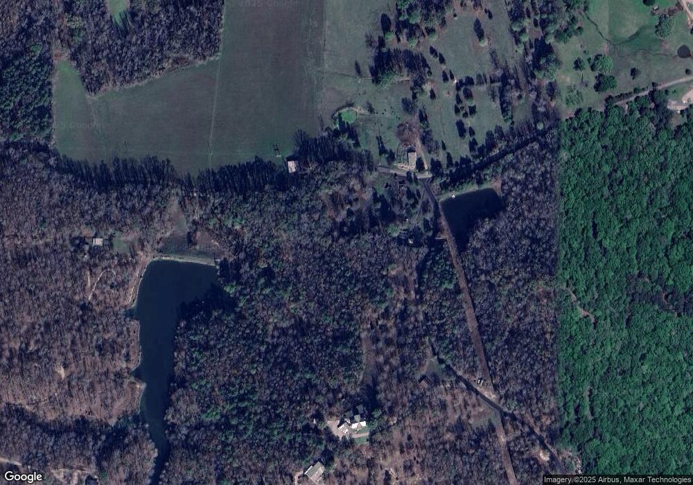
8223 Bland Loop Benton, AR 72019
Estimated Value: $273,000 - $372,662
--
Bed
2
Baths
2,328
Sq Ft
$142/Sq Ft
Est. Value
About This Home
This home is located at 8223 Bland Loop, Benton, AR 72019 and is currently estimated at $329,887, approximately $141 per square foot. 8223 Bland Loop is a home with nearby schools including Bethel Middle School, Bryant Middle School, and Bryant High School.
Ownership History
Date
Name
Owned For
Owner Type
Purchase Details
Closed on
Aug 23, 2015
Sold by
Gray Sherry Gail and Gray Robert Lynn
Bought by
French Dave E
Current Estimated Value
Purchase Details
Closed on
Sep 30, 2009
Sold by
French Tammi L
Bought by
French Dave E
Home Financials for this Owner
Home Financials are based on the most recent Mortgage that was taken out on this home.
Original Mortgage
$170,000
Interest Rate
4.63%
Mortgage Type
New Conventional
Purchase Details
Closed on
Sep 1, 1991
Bought by
French
Create a Home Valuation Report for This Property
The Home Valuation Report is an in-depth analysis detailing your home's value as well as a comparison with similar homes in the area
Home Values in the Area
Average Home Value in this Area
Purchase History
| Date | Buyer | Sale Price | Title Company |
|---|---|---|---|
| French Dave E | $15,000 | First National Title Company | |
| French Dave E | -- | -- | |
| French | $21,000 | -- |
Source: Public Records
Mortgage History
| Date | Status | Borrower | Loan Amount |
|---|---|---|---|
| Previous Owner | French Dave E | $170,000 |
Source: Public Records
Tax History Compared to Growth
Tax History
| Year | Tax Paid | Tax Assessment Tax Assessment Total Assessment is a certain percentage of the fair market value that is determined by local assessors to be the total taxable value of land and additions on the property. | Land | Improvement |
|---|---|---|---|---|
| 2025 | $2,395 | $47,619 | $2,786 | $44,833 |
| 2024 | $2,233 | $47,619 | $2,786 | $44,833 |
| 2023 | $2,079 | $47,619 | $2,786 | $44,833 |
| 2022 | $2,129 | $47,619 | $2,786 | $44,833 |
| 2021 | $2,340 | $51,590 | $6,760 | $44,830 |
| 2020 | $2,290 | $51,590 | $6,760 | $44,830 |
| 2019 | $2,665 | $172,260 | $6,760 | $165,500 |
| 2018 | $618 | $11,060 | $6,760 | $4,300 |
| 2017 | $618 | $11,060 | $6,760 | $4,300 |
| 2016 | $2,409 | $51,370 | $4,030 | $47,340 |
| 2015 | $2,117 | $51,370 | $4,030 | $47,340 |
| 2014 | $2,117 | $51,370 | $4,030 | $47,340 |
Source: Public Records
Map
Nearby Homes
- 8814 Matt Daniels Ln
- 9690 Gunter Loop
- 9706 Gunter Loop
- 9714 Gunter Loop
- 10584 Gunter Loop
- 10568 Gunter Loop
- 8900 Hinkson Rd
- 8166 Highway 298
- 9015 Highway 298
- 16471 Thomas Loop Rd
- 40 Acres Goodwin Rd
- 6102 Chickadee Dr
- 6100 Chickadee Dr
- 3501 Lake Norrell Rd
- 13405 Avilla W
- 6413 Whipporwill Dr
- 6400 Whipporwill Dr
- 6408 Whipporwill Dr
- 6407 Whipporwill Dr
- 4.06 acres N Lake Norrell Dr
- 0 Bland Loop
- 8569 Bland Loop
- 8184 Bland Loop
- 12624 Irina Dr
- 8118 Bland Loop
- 8693 Steel Bridge Rd
- 8446 Steel Bridge Rd
- 8801 Steel Bridge Rd
- 8703 Steel Bridge Rd
- 8348 Steel Bridge Rd
- 8368 Steel Bridge Rd
- 0 Steelbridge Unit 20034593
- 8366 Steel Bridge Rd
- 8482 Steel Bridge Rd
- 8147 Steel Bridge Rd
- 8083 Steel Bridge Rd
- 7731 Davenport St
- 8718 Steel Bridge Rd
- 8640 Steel Bridge Rd
- 9119 Steel Bridge Rd
