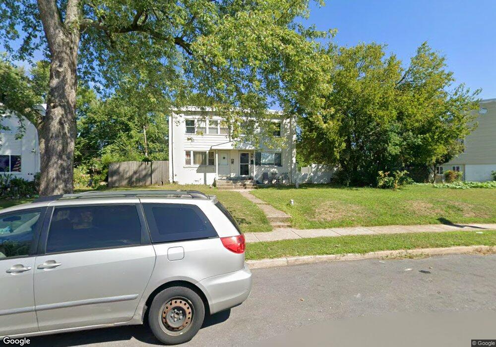
823 Andover Rd Lansdale, PA 19446
Estimated Value: $290,000 - $309,361
3
Beds
2
Baths
1,152
Sq Ft
$259/Sq Ft
Est. Value
About This Home
This home is located at 823 Andover Rd, Lansdale, PA 19446 and is currently estimated at $298,840, approximately $259 per square foot. 823 Andover Rd is a home located in Montgomery County with nearby schools including Oak Park El School, Penndale Middle School, and North Penn Senior High School.
Ownership History
Date
Name
Owned For
Owner Type
Purchase Details
Closed on
Jan 30, 2019
Sold by
Shah Rashmi and Shah Vishnu
Bought by
Metry Amgad M and Maker Mariam
Current Estimated Value
Home Financials for this Owner
Home Financials are based on the most recent Mortgage that was taken out on this home.
Original Mortgage
$155,200
Outstanding Balance
$136,449
Interest Rate
4.5%
Mortgage Type
New Conventional
Estimated Equity
$162,391
Purchase Details
Closed on
Nov 30, 1981
Bought by
Shah Vishnu and Shah Rashmi
Create a Home Valuation Report for This Property
The Home Valuation Report is an in-depth analysis detailing your home's value as well as a comparison with similar homes in the area
Home Values in the Area
Average Home Value in this Area
Purchase History
| Date | Buyer | Sale Price | Title Company |
|---|---|---|---|
| Metry Amgad M | $160,000 | None Available | |
| Shah Vishnu | $43,500 | -- |
Source: Public Records
Mortgage History
| Date | Status | Borrower | Loan Amount |
|---|---|---|---|
| Open | Metry Amgad M | $155,200 |
Source: Public Records
Tax History Compared to Growth
Tax History
| Year | Tax Paid | Tax Assessment Tax Assessment Total Assessment is a certain percentage of the fair market value that is determined by local assessors to be the total taxable value of land and additions on the property. | Land | Improvement |
|---|---|---|---|---|
| 2025 | $3,329 | $79,110 | $17,940 | $61,170 |
| 2024 | $3,329 | $79,110 | $17,940 | $61,170 |
| 2023 | $3,112 | $79,110 | $17,940 | $61,170 |
| 2022 | $3,014 | $79,110 | $17,940 | $61,170 |
| 2021 | $2,891 | $79,110 | $17,940 | $61,170 |
| 2020 | $2,804 | $79,110 | $17,940 | $61,170 |
| 2019 | $2,758 | $79,110 | $17,940 | $61,170 |
| 2018 | $740 | $79,110 | $17,940 | $61,170 |
| 2017 | $2,574 | $79,110 | $17,940 | $61,170 |
| 2016 | $2,544 | $79,110 | $17,940 | $61,170 |
| 2015 | $2,360 | $79,110 | $17,940 | $61,170 |
| 2014 | $2,360 | $79,110 | $17,940 | $61,170 |
Source: Public Records
Map
Nearby Homes
- 816 Kenilworth Ave
- 302 W 8th St Unit 21
- 1315 Deer Run Rd
- 732 Cowpath Rd
- 9 Fortuna Dr
- 8 Fortuna Dr
- 5 Fortuna Dr
- 6 Fortuna Dr
- Warwick Plan at Sterling Walk
- Stratford Plan at Sterling Walk
- 1028 Poplar St Unit 75
- 833 W 4th St
- 401 Sadie Ave
- 381 Sydney Ave
- 373 Sydney Ln
- 375 Sydney Ln
- 1226 Cabin Rd
- 129 W Fifth St
- 1035 Forest Ave
- 204 N Valley Forge Rd Unit 7B
- 825 Andover Rd
- 817 Wedgewood Dr
- 815 Wedgewood Dr
- 813 Wedgewood Dr
- 829 Andover Rd
- 831 Andover Rd
- 811 Wedgewood Dr
- 833 Andover Rd
- 807 Wedgewood Dr
- 1316 Moyer Rd
- 835 Andover Rd Unit 12
- 805 Wedgewood Dr
- 803 Wedgewood Dr
- 836 Andover Rd
- 839 Andover Rd
- 834 Andover Rd
- 832 Andover Rd
- 801 Wedgewood Dr
- 841 Andover Rd
- 830 Andover Rd