8238 Main St Reasnor, IA 50232
Estimated Value: $374,182 - $426,000
5
Beds
6
Baths
1,859
Sq Ft
$213/Sq Ft
Est. Value
About This Home
This home is located at 8238 Main St, Reasnor, IA 50232 and is currently estimated at $395,546, approximately $212 per square foot. 8238 Main St is a home located in Jasper County with nearby schools including Lynnville-Sully Elementary School, Lynnville-Sully Middle School, and Lynnville-Sully High School.
Ownership History
Date
Name
Owned For
Owner Type
Purchase Details
Closed on
Oct 12, 2019
Sold by
Brown Lisa M
Bought by
Brown Timothy S
Current Estimated Value
Home Financials for this Owner
Home Financials are based on the most recent Mortgage that was taken out on this home.
Original Mortgage
$128,750
Outstanding Balance
$112,791
Interest Rate
3.5%
Mortgage Type
New Conventional
Estimated Equity
$282,755
Create a Home Valuation Report for This Property
The Home Valuation Report is an in-depth analysis detailing your home's value as well as a comparison with similar homes in the area
Home Values in the Area
Average Home Value in this Area
Purchase History
| Date | Buyer | Sale Price | Title Company |
|---|---|---|---|
| Brown Timothy S | -- | -- |
Source: Public Records
Mortgage History
| Date | Status | Borrower | Loan Amount |
|---|---|---|---|
| Open | Brown Timothy S | $128,750 |
Source: Public Records
Tax History Compared to Growth
Tax History
| Year | Tax Paid | Tax Assessment Tax Assessment Total Assessment is a certain percentage of the fair market value that is determined by local assessors to be the total taxable value of land and additions on the property. | Land | Improvement |
|---|---|---|---|---|
| 2025 | $2,672 | $298,790 | $52,900 | $245,890 |
| 2024 | $2,672 | $256,790 | $36,180 | $220,610 |
| 2023 | $2,588 | $256,790 | $36,180 | $220,610 |
| 2022 | $2,256 | $201,260 | $36,180 | $165,080 |
| 2021 | $2,112 | $187,340 | $36,180 | $151,160 |
| 2020 | $2,112 | $167,190 | $29,770 | $137,420 |
| 2019 | $1,942 | $143,510 | $0 | $0 |
| 2018 | $1,942 | $143,510 | $0 | $0 |
| 2017 | $1,974 | $143,510 | $0 | $0 |
| 2016 | $1,974 | $143,510 | $0 | $0 |
| 2015 | $1,948 | $143,510 | $0 | $0 |
| 2014 | $1,880 | $0 | $0 | $0 |
Source: Public Records
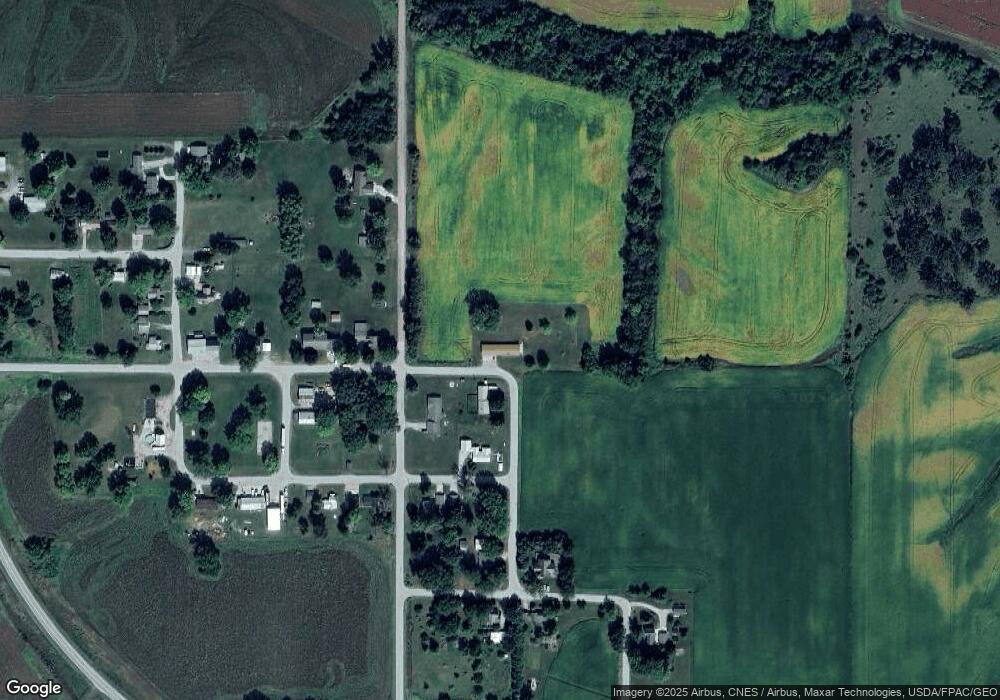
Map
Nearby Homes
- 7404 Sioux Ave
- 5760 S 80th Ave E
- 11377 S 100th Ave E
- 7233 Highway T 22 S
- 6657 E 78th St S
- 424 Newton St
- 5211 S 70th Ave E
- 11790 Highway F62 E
- 202 8th Ave
- 805 5th St
- 702 10th Ave
- 205 N 8th Ave
- 1006 2nd St
- 5122 E 84th St S
- 297 240th Place
- 13214 S 112th Ave E
- 413 210th Ave
- 4683 Legion St Unit ST80
- TBD 233rd Place
- TBD Dakota Dr
- 10015 Johnson St
- 10018 Washington St
- 8234 Fillmore St
- 8190 Main St
- 8189 Main St
- 8213 Fillmore St
- 8162 Main St
- 8189 Fillmore St
- 10087 Johnson St
- 0 Spruce St
- 8228 Shawnee Ave
- 8171 Fillmore St
- 8264 Niagara St
- 8134 Main St
- 8243 Niagara St
- 8259 Niagara St
- 8110 Main St
- 9944 Shrine St
- 8109 Fillmore St
- 9964 Shrine St