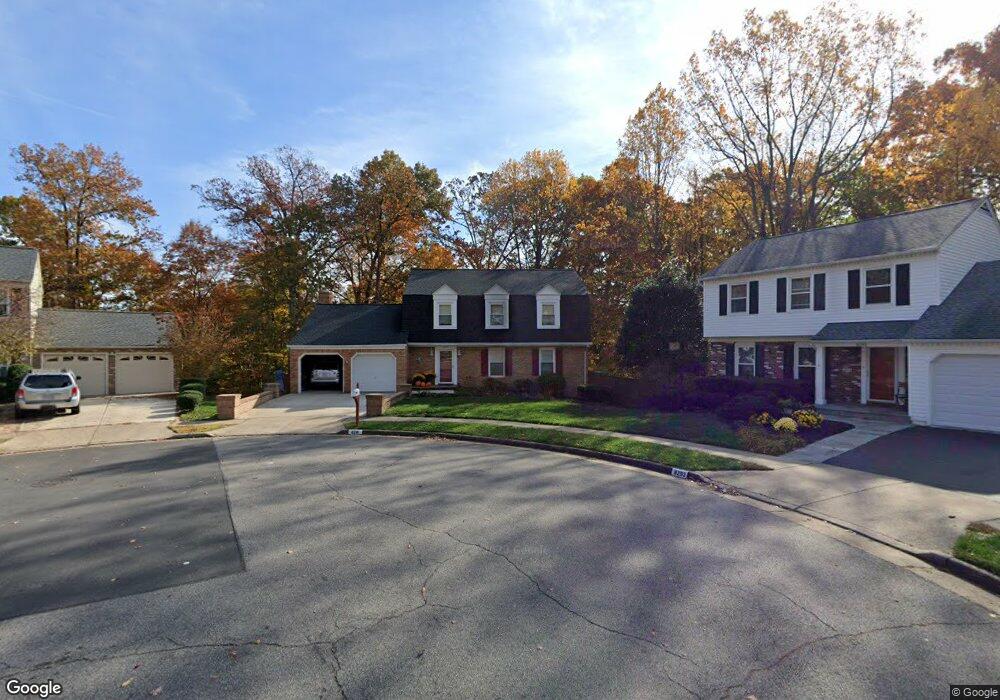
8291 Lindside Way Springfield, VA 22153
Estimated Value: $800,679 - $880,000
4
Beds
3
Baths
2,328
Sq Ft
$359/Sq Ft
Est. Value
About This Home
This home is located at 8291 Lindside Way, Springfield, VA 22153 and is currently estimated at $835,920, approximately $359 per square foot. 8291 Lindside Way is a home located in Fairfax County with nearby schools including Saratoga Elementary School, Key Middle, and Lewis High School.
Ownership History
Date
Name
Owned For
Owner Type
Purchase Details
Closed on
Feb 7, 2017
Sold by
Viscal Jorge and Viscal Lillian Reteig
Bought by
Viscal Family Trust Dated February 7 217
Current Estimated Value
Purchase Details
Closed on
Sep 28, 2001
Sold by
Thomas Debra L
Bought by
Viscal Jorge
Home Financials for this Owner
Home Financials are based on the most recent Mortgage that was taken out on this home.
Original Mortgage
$252,000
Interest Rate
6.91%
Create a Home Valuation Report for This Property
The Home Valuation Report is an in-depth analysis detailing your home's value as well as a comparison with similar homes in the area
Home Values in the Area
Average Home Value in this Area
Purchase History
| Date | Buyer | Sale Price | Title Company |
|---|---|---|---|
| Viscal Family Trust Dated February 7 217 | -- | None Available | |
| Viscal Jorge | $315,000 | -- |
Source: Public Records
Mortgage History
| Date | Status | Borrower | Loan Amount |
|---|---|---|---|
| Previous Owner | Viscal Jorge | $252,000 |
Source: Public Records
Tax History
| Year | Tax Paid | Tax Assessment Tax Assessment Total Assessment is a certain percentage of the fair market value that is determined by local assessors to be the total taxable value of land and additions on the property. | Land | Improvement |
|---|---|---|---|---|
| 2025 | $8,036 | $787,500 | $311,000 | $476,500 |
| 2024 | $8,036 | $693,690 | $276,000 | $417,690 |
| 2023 | $7,409 | $656,520 | $261,000 | $395,520 |
| 2022 | $7,121 | $622,710 | $256,000 | $366,710 |
| 2021 | $6,424 | $547,400 | $221,000 | $326,400 |
| 2020 | $6,091 | $514,630 | $206,000 | $308,630 |
| 2019 | $6,091 | $514,630 | $206,000 | $308,630 |
| 2018 | $5,918 | $514,630 | $206,000 | $308,630 |
| 2017 | $5,747 | $495,010 | $196,000 | $299,010 |
| 2016 | $5,735 | $495,010 | $196,000 | $299,010 |
Source: Public Records
Map
Nearby Homes
- 7599 Woodstown Dr
- 7594 Woodstown Dr
- 8404 Chillum Ct
- 7690 Oak Field Ct
- 8109 Overton Ct
- 8306 Cushing Ct
- 7728 Hickory Glen Way
- 8570 Gwynedd Way
- 7937 Edinburgh Dr
- 8817 Lagrange St
- 7897 Carbondale Way
- 7918 Edinburgh Dr
- 7677 Henry Knox Dr
- 8932 Milford Haven Ct Unit 32C
- 7752 Milford Haven Dr Unit 52B
- 7923 Lake Pleasant Dr
- 8929 Mayhew Ct
- 8010 Rockwood Ct
- 7800 Richfield Rd
- 7403 Larne Ln
- 8293 Lindside Way
- 8290 Lindside Way
- 8295 Lindside Way
- 7581 Ruxton Dr
- 7583 Ruxton Dr
- 7579 Ruxton Dr
- 8294 Lindside Way
- 8297 Lindside Way
- 7590 Ruxton Dr
- 8296 Lindside Way
- 7585 Ruxton Dr
- 8233 Woodstown Ct
- 8299 Lindside Way
- 7587 Ruxton Dr
- 7592 Ruxton Dr
- 7589 Ruxton Dr
- 8235 Woodstown Ct
- 7591 Ruxton Dr
- 8237 Woodstown Ct
- 8301 Lindside Way
Your Personal Tour Guide
Ask me questions while you tour the home.