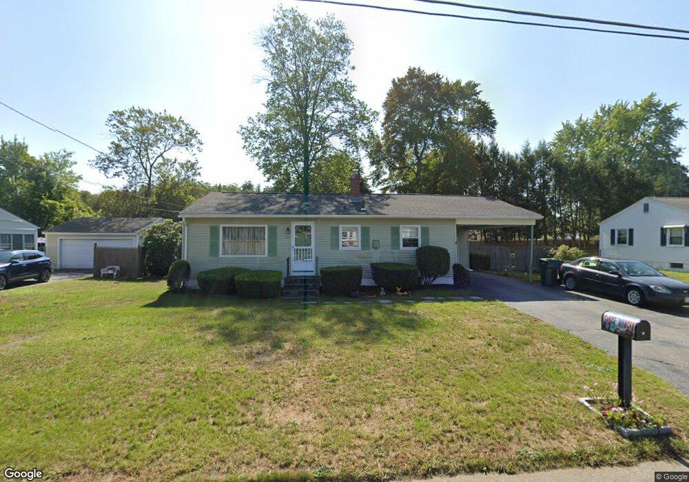
83 Clydesdale Ln Springfield, MA 01129
Sixteen Acres NeighborhoodEstimated Value: $290,836 - $320,000
3
Beds
1
Bath
988
Sq Ft
$310/Sq Ft
Est. Value
About This Home
This home is located at 83 Clydesdale Ln, Springfield, MA 01129 and is currently estimated at $306,459, approximately $310 per square foot. 83 Clydesdale Ln is a home located in Hampden County with nearby schools including Mary M. Walsh Elementary School, M Marcus Kiley Middle, and Springfield High School of Science and Technology.
Ownership History
Date
Name
Owned For
Owner Type
Purchase Details
Closed on
Jan 13, 2016
Sold by
Mills Lois C
Bought by
Mills Lois C and Mills Michael A
Current Estimated Value
Home Financials for this Owner
Home Financials are based on the most recent Mortgage that was taken out on this home.
Original Mortgage
$44,000
Outstanding Balance
$18,706
Interest Rate
3.97%
Mortgage Type
New Conventional
Estimated Equity
$287,753
Create a Home Valuation Report for This Property
The Home Valuation Report is an in-depth analysis detailing your home's value as well as a comparison with similar homes in the area
Home Values in the Area
Average Home Value in this Area
Purchase History
| Date | Buyer | Sale Price | Title Company |
|---|---|---|---|
| Mills Lois C | -- | -- |
Source: Public Records
Mortgage History
| Date | Status | Borrower | Loan Amount |
|---|---|---|---|
| Open | Mills Lois C | $44,000 |
Source: Public Records
Tax History
| Year | Tax Paid | Tax Assessment Tax Assessment Total Assessment is a certain percentage of the fair market value that is determined by local assessors to be the total taxable value of land and additions on the property. | Land | Improvement |
|---|---|---|---|---|
| 2025 | $3,519 | $224,400 | $58,200 | $166,200 |
| 2024 | $3,636 | $226,400 | $58,200 | $168,200 |
| 2023 | $3,432 | $201,300 | $55,400 | $145,900 |
| 2022 | $3,344 | $177,700 | $55,400 | $122,300 |
| 2021 | $3,370 | $178,300 | $50,300 | $128,000 |
| 2020 | $3,142 | $160,900 | $50,300 | $110,600 |
| 2019 | $2,891 | $146,900 | $50,300 | $96,600 |
| 2018 | $2,919 | $148,300 | $50,300 | $98,000 |
| 2017 | $2,691 | $136,900 | $45,300 | $91,600 |
| 2016 | $2,544 | $129,400 | $45,300 | $84,100 |
| 2015 | $2,404 | $122,200 | $45,300 | $76,900 |
Source: Public Records
Map
Nearby Homes
- 121 Mallowhill Rd
- 25 Nassau Dr Unit 25
- 71 Nassau Dr
- 44 Nassau Dr
- 244 Nassau Dr Unit 244
- 88 Senator St
- 236 Glenoak Dr
- 39 Thyme Ln
- 2306 Wilbraham Rd
- Lot 37 Kane St
- 186 Bolton St
- 15 Pine Acre Rd
- 235 Starling Rd
- 43 Marmon Ct
- 17 Jeanne Marie St
- 381 N Brook Rd
- 60 Jeanne Marie St
- 46 Overlea Dr
- 46 Puritan Cir
- 6 Brooklawn Rd
- 75 Clydesdale Ln
- 93 Clydesdale Ln
- 224 Mallowhill Rd
- 216 Mallowhill Rd
- 234 Mallowhill Rd
- 65 Clydesdale Ln
- 101 Clydesdale Ln
- 84 Clydesdale Ln
- 94 Clydesdale Ln
- 206 Mallowhill Rd
- 242 Mallowhill Rd
- 102 Clydesdale Ln
- 66 Clydesdale Ln
- 57 Clydesdale Ln
- 111 Clydesdale Ln
- 225 Mallowhill Rd
- 198 Mallowhill Rd
- 215 Mallowhill Rd
- 112 Clydesdale Ln
- 0 Marine St Lot 159 & 161
Your Personal Tour Guide
Ask me questions while you tour the home.