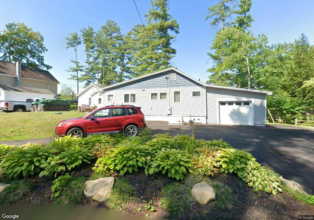
83 Packard Rd Orange, MA 01364
Estimated Value: $262,000 - $414,000
2
Beds
2
Baths
1,444
Sq Ft
$236/Sq Ft
Est. Value
About This Home
This home is located at 83 Packard Rd, Orange, MA 01364 and is currently estimated at $340,194, approximately $235 per square foot. 83 Packard Rd is a home located in Franklin County with nearby schools including Fisher Hill and Ralph C Mahar Regional School.
Ownership History
Date
Name
Owned For
Owner Type
Purchase Details
Closed on
Sep 18, 2020
Sold by
Soucie Chris A
Bought by
Bass Timothy A and Bass Judith A
Current Estimated Value
Purchase Details
Closed on
Jun 16, 2020
Sold by
Luippold Thomas F and Luippold William J
Bought by
Soucie Chris A
Home Financials for this Owner
Home Financials are based on the most recent Mortgage that was taken out on this home.
Original Mortgage
$100,000
Interest Rate
3.2%
Mortgage Type
New Conventional
Purchase Details
Closed on
Oct 9, 2012
Sold by
Luippold James E
Bought by
Luippold Thomas F and Luippold Willaim J
Purchase Details
Closed on
Jul 23, 2010
Sold by
Luippold James E
Bought by
Luippold James E and Luippold Thomas F
Create a Home Valuation Report for This Property
The Home Valuation Report is an in-depth analysis detailing your home's value as well as a comparison with similar homes in the area
Home Values in the Area
Average Home Value in this Area
Purchase History
| Date | Buyer | Sale Price | Title Company |
|---|---|---|---|
| Bass Timothy A | $117,000 | None Available | |
| Soucie Chris A | $110,000 | None Available | |
| Luippold Thomas F | -- | -- | |
| Luippold James E | -- | -- |
Source: Public Records
Mortgage History
| Date | Status | Borrower | Loan Amount |
|---|---|---|---|
| Previous Owner | Soucie Chris A | $100,000 |
Source: Public Records
Tax History
| Year | Tax Paid | Tax Assessment Tax Assessment Total Assessment is a certain percentage of the fair market value that is determined by local assessors to be the total taxable value of land and additions on the property. | Land | Improvement |
|---|---|---|---|---|
| 2025 | $52 | $315,500 | $96,300 | $219,200 |
| 2024 | $4,918 | $282,000 | $90,300 | $191,700 |
| 2023 | $4,869 | $271,100 | $84,300 | $186,800 |
| 2022 | $4,795 | $250,800 | $84,300 | $166,500 |
| 2021 | $4,798 | $239,300 | $135,100 | $104,200 |
| 2020 | $4,743 | $233,300 | $132,900 | $100,400 |
| 2019 | $4,576 | $203,200 | $115,500 | $87,700 |
| 2018 | $4,307 | $196,300 | $111,100 | $85,200 |
| 2017 | $4,167 | $196,300 | $111,100 | $85,200 |
| 2016 | $4,041 | $186,200 | $101,800 | $84,400 |
| 2015 | $3,861 | $185,900 | $101,800 | $84,100 |
| 2014 | $3,670 | $185,900 | $101,800 | $84,100 |
Source: Public Records
Map
Nearby Homes
- 2791 Old Keene Rd
- 109 Royalston Rd
- 0 Adams Dr
- 15 A-B Tully Rd
- 15 Tully Rd
- 0 W Royalston Rd
- 78 Athol Richmond Rd
- 660 Pinedale Ave
- 65 Lakeview Ave
- 87 Bellevue Dr E
- 31 Locke Ave
- 77 Old Keene Rd
- 15 Wilson Ave
- 225 Wallingford Ave
- 60 Silver Lake St
- 330 N Orange Rd
- 503 School St
- 1179 Main St
- 31 Freedom St
- 128 Allen St
Your Personal Tour Guide
Ask me questions while you tour the home.