83 Tamworth Trail Center Barnstead, NH 03225
Estimated Value: $441,000 - $467,000
2
Beds
1
Bath
936
Sq Ft
$489/Sq Ft
Est. Value
About This Home
This home is located at 83 Tamworth Trail, Center Barnstead, NH 03225 and is currently estimated at $457,372, approximately $488 per square foot. 83 Tamworth Trail is a home located in Belknap County with nearby schools including Barnstead Elementary School and Prospect Mountain High School.
Ownership History
Date
Name
Owned For
Owner Type
Purchase Details
Closed on
Jul 30, 2009
Sold by
Nhfa
Bought by
Lemay Catherine T and Wojtkiewicz Jeffrey J
Current Estimated Value
Home Financials for this Owner
Home Financials are based on the most recent Mortgage that was taken out on this home.
Original Mortgage
$142,857
Outstanding Balance
$94,183
Interest Rate
5.43%
Mortgage Type
Purchase Money Mortgage
Estimated Equity
$363,189
Purchase Details
Closed on
Sep 9, 2008
Sold by
Maynard Kevin Gene
Bought by
Nhfa
Purchase Details
Closed on
Aug 29, 2006
Sold by
Mooswa Dev Llc
Bought by
Maynard Kevin G
Home Financials for this Owner
Home Financials are based on the most recent Mortgage that was taken out on this home.
Original Mortgage
$204,630
Interest Rate
6.83%
Purchase Details
Closed on
Apr 28, 2005
Sold by
Ragonese Alfio J
Bought by
Mousseau Wylie
Create a Home Valuation Report for This Property
The Home Valuation Report is an in-depth analysis detailing your home's value as well as a comparison with similar homes in the area
Home Values in the Area
Average Home Value in this Area
Purchase History
| Date | Buyer | Sale Price | Title Company |
|---|---|---|---|
| Lemay Catherine T | $70,000 | -- | |
| Nhfa | $180,000 | -- | |
| Maynard Kevin G | $204,700 | -- | |
| Mousseau Wylie | $28,900 | -- |
Source: Public Records
Mortgage History
| Date | Status | Borrower | Loan Amount |
|---|---|---|---|
| Open | Mousseau Wylie | $142,857 | |
| Previous Owner | Maynard Kevin G | $204,630 |
Source: Public Records
Tax History Compared to Growth
Tax History
| Year | Tax Paid | Tax Assessment Tax Assessment Total Assessment is a certain percentage of the fair market value that is determined by local assessors to be the total taxable value of land and additions on the property. | Land | Improvement |
|---|---|---|---|---|
| 2024 | $5,826 | $357,200 | $98,800 | $258,400 |
| 2023 | $5,126 | $357,200 | $98,800 | $258,400 |
| 2022 | $4,750 | $219,900 | $46,800 | $173,100 |
| 2021 | $4,814 | $219,200 | $46,800 | $172,400 |
| 2020 | $4,209 | $182,200 | $46,800 | $135,400 |
| 2019 | $4,160 | $182,200 | $46,800 | $135,400 |
| 2018 | $4,054 | $182,200 | $46,800 | $135,400 |
| 2017 | $3,829 | $132,500 | $30,600 | $101,900 |
| 2016 | $3,611 | $132,500 | $30,600 | $101,900 |
| 2015 | $3,597 | $132,500 | $30,600 | $101,900 |
| 2014 | $3,491 | $145,700 | $38,300 | $107,400 |
| 2013 | $3,424 | $145,700 | $38,300 | $107,400 |
Source: Public Records
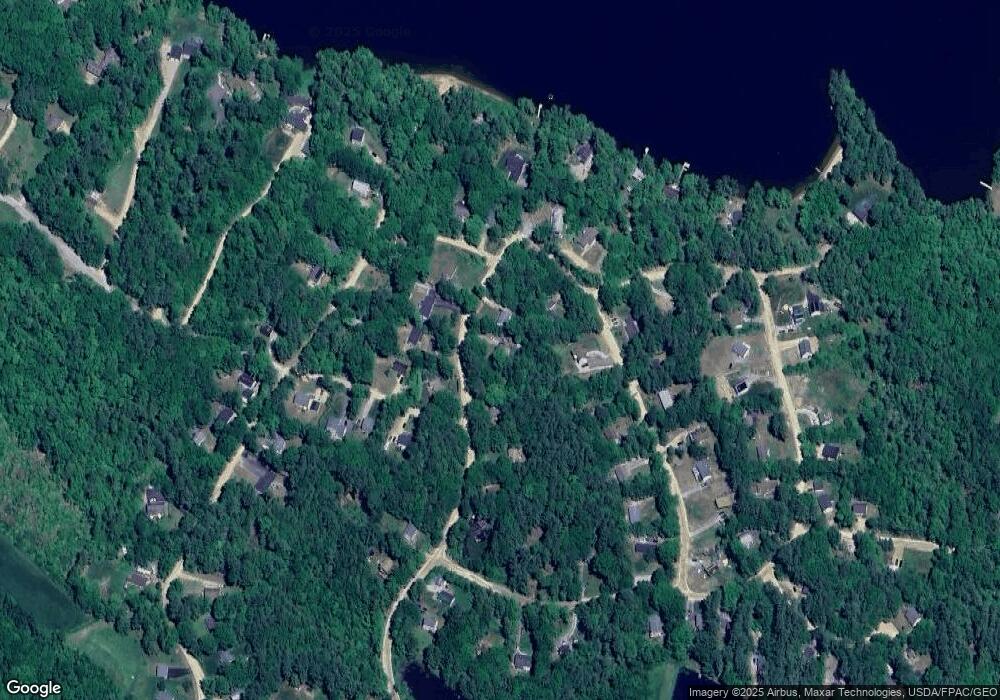
Map
Nearby Homes
- 21 Shelburne Ln
- 28 Dalton Dr
- 248 Varney Rd
- 8 Brookwood Dr
- 7 Brenton Ln
- 0 Corner North Shore Dr Unit 446 5054482
- O N Shore Dr
- 0 Crescent Dr Unit 5026960
- 17 Prospect Mountain Rd
- 9 Nutter Cir
- 24 Danbury Rd
- 96 Damsite Rd
- 956 N Barnstead Rd
- 0 Andover Dr Unit 106 5059711
- 0 Chamberlain Rd Unit 11 5061842
- Map 5 Lot 14-3 Stockbridge Corner Rd
- Lot 33 Ridge Rd
- 547 Suncook Valley Rd
- 25 Vail Rd
- Lot 30-2-1 North Rd
- 77 Tamworth Trail
- 85 Tamworth Trail
- 34 Lincoln Ln
- 34 Lincoln Ln
- 75 Tamworth Trail
- 28 Lincoln Ln
- 78 Tamworth Trail
- 82 Tamworth Trail
- 88 Tamworth Trail
- 90 Tamworth Trail
- 24 Lincoln Ln
- 69 Tamworth Trail
- 5 Stratford Dr
- 31 Lincoln Ln
- 96 Tamworth Trail
- 39 Lincoln Ln
- 20 Lincoln Ln
- 8 Stratford Dr
- 67 Tamworth Trail
- 71 Dalton Dr