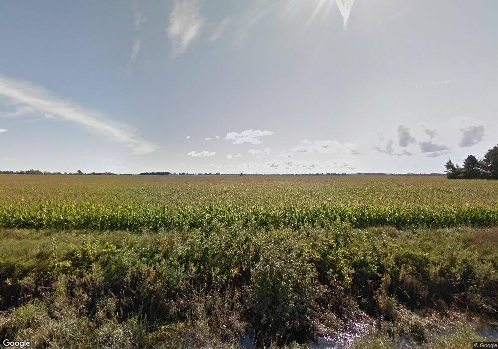
833 S Pine Rd Bay City, MI 48708
Estimated Value: $160,000 - $188,000
3
Beds
1
Bath
1,288
Sq Ft
$132/Sq Ft
Est. Value
About This Home
This home is located at 833 S Pine Rd, Bay City, MI 48708 and is currently estimated at $170,274, approximately $132 per square foot. 833 S Pine Rd is a home with nearby schools including Hampton Elementary School, Handy Middle School, and Bay City Central High School.
Ownership History
Date
Name
Owned For
Owner Type
Purchase Details
Closed on
Jul 10, 2019
Sold by
Mciver Lance Michael
Bought by
Mciver Lance Michael and Schwandt Dana
Current Estimated Value
Purchase Details
Closed on
Jun 15, 2018
Sold by
Corrion Nance A and Corrion Norman E
Bought by
Mclver Lance
Purchase Details
Closed on
Sep 19, 2017
Sold by
Irrevocable Schultz William C
Bought by
Corrion Norman E and Corrion Nance A
Home Financials for this Owner
Home Financials are based on the most recent Mortgage that was taken out on this home.
Original Mortgage
$97,500
Interest Rate
3.9%
Mortgage Type
Commercial
Create a Home Valuation Report for This Property
The Home Valuation Report is an in-depth analysis detailing your home's value as well as a comparison with similar homes in the area
Home Values in the Area
Average Home Value in this Area
Purchase History
| Date | Buyer | Sale Price | Title Company |
|---|---|---|---|
| Mciver Lance Michael | -- | None Available | |
| Mclver Lance | $60,000 | Title Re Source | |
| Corrion Norman E | -- | None Available |
Source: Public Records
Mortgage History
| Date | Status | Borrower | Loan Amount |
|---|---|---|---|
| Previous Owner | Corrion Norman E | $97,500 |
Source: Public Records
Tax History Compared to Growth
Tax History
| Year | Tax Paid | Tax Assessment Tax Assessment Total Assessment is a certain percentage of the fair market value that is determined by local assessors to be the total taxable value of land and additions on the property. | Land | Improvement |
|---|---|---|---|---|
| 2025 | $1,560 | $71,800 | $0 | $0 |
| 2024 | $843 | $56,500 | $0 | $0 |
| 2023 | $802 | $36,900 | $0 | $0 |
| 2022 | $1,553 | $39,900 | $0 | $0 |
| 2021 | $1,449 | $40,500 | $40,500 | $0 |
| 2020 | $1,389 | $37,200 | $37,200 | $0 |
| 2019 | $1,409 | $38,500 | $0 | $0 |
Source: Public Records
Map
Nearby Homes
- 0 W Munger Rd
- 7977 N Portsmouth Rd
- 0 W German Rd
- 143 Tierney Rd
- 1495 S Knight Rd
- 2300 S Lincoln St
- 1671 S River Rd
- 2001 S Lincoln St
- 518 Pensacola Dr
- 0 Eastland Dr
- 1802 34th St
- 2209 32nd St
- 2710 22nd St
- 1207 Hine St
- 2004 32nd St
- 2915 Garfield Ave
- 2810 Mix Ave
- VL Madajski Rd
- 2631 Simon St
- 100 N Tuscola Rd
- 800 S Pine Rd
- 771 S Pine Rd
- 1574 Russell Rd
- 0 Bullock Rd
- 1696 Russell Rd
- 548 S Tuscola Rd
- 1760 Russell Rd
- 1800 Bullock Rd
- 1431 W German Rd
- 1165 S Pine Rd
- 1519 W German Rd
- 1185 S Pine Rd
- 1801 Bullock Rd
- 971 S Tuscola Rd
- 1327 W German Rd
- 1617 W German Rd
- 1629 W German Rd
- 1829 Bullock Rd
- 1323 W German Rd
- 1311 W German Rd
