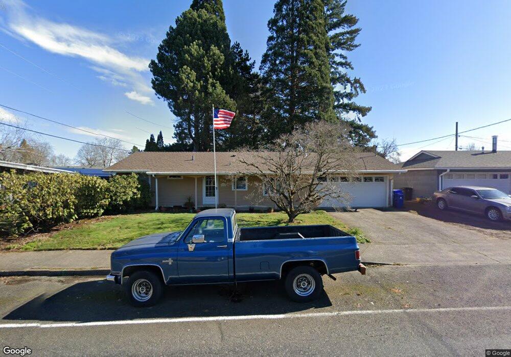
836 SE 217th Ave Gresham, OR 97030
North Central NeighborhoodEstimated Value: $439,929 - $471,000
3
Beds
2
Baths
1,509
Sq Ft
$298/Sq Ft
Est. Value
About This Home
This home is located at 836 SE 217th Ave, Gresham, OR 97030 and is currently estimated at $449,232, approximately $297 per square foot. 836 SE 217th Ave is a home located in Multnomah County with nearby schools including North Gresham Elementary School, Clear Creek Middle School, and Gresham High School.
Ownership History
Date
Name
Owned For
Owner Type
Purchase Details
Closed on
Jul 9, 2015
Sold by
Fast Jerry L
Bought by
Fast Linda E
Current Estimated Value
Purchase Details
Closed on
Oct 24, 2003
Sold by
Fast Jerry L
Bought by
Fast Jerry L and Fast Janet L
Home Financials for this Owner
Home Financials are based on the most recent Mortgage that was taken out on this home.
Original Mortgage
$53,000
Interest Rate
5.98%
Mortgage Type
Credit Line Revolving
Create a Home Valuation Report for This Property
The Home Valuation Report is an in-depth analysis detailing your home's value as well as a comparison with similar homes in the area
Home Values in the Area
Average Home Value in this Area
Purchase History
| Date | Buyer | Sale Price | Title Company |
|---|---|---|---|
| Fast Linda E | -- | None Available | |
| Fast Jerry L | -- | Fidelity National Title |
Source: Public Records
Mortgage History
| Date | Status | Borrower | Loan Amount |
|---|---|---|---|
| Closed | Fast Jerry L | $53,000 |
Source: Public Records
Tax History
| Year | Tax Paid | Tax Assessment Tax Assessment Total Assessment is a certain percentage of the fair market value that is determined by local assessors to be the total taxable value of land and additions on the property. | Land | Improvement |
|---|---|---|---|---|
| 2025 | $4,468 | $219,540 | -- | -- |
| 2024 | $4,277 | $213,150 | -- | -- |
| 2023 | $3,896 | $206,950 | $0 | $0 |
| 2022 | $3,788 | $200,930 | $0 | $0 |
| 2021 | $3,692 | $195,080 | $0 | $0 |
| 2020 | $3,474 | $189,400 | $0 | $0 |
| 2019 | $3,383 | $183,890 | $0 | $0 |
| 2018 | $3,226 | $178,540 | $0 | $0 |
| 2017 | $3,095 | $173,340 | $0 | $0 |
| 2016 | $2,729 | $168,300 | $0 | $0 |
Source: Public Records
Map
Nearby Homes
- 21532 SE Alder St
- 21525 SE Oak St
- 21400 SE Stark St Unit 2
- 210 SE 218th Ave
- 21260 SE Stark St
- 1035 SE 225th Ave
- 21553 SE Ankeny Terrace
- 209 SE 214th Ave
- 132 SE 214th Ave
- 21016 SE Stark St Unit 71
- 21016 SE Stark St Unit 69
- 2730 NE Roberts Ave
- 21033 SE Clay Ct
- 2013 NW Bella Vista Dr
- 450 NE 22nd St
- 1811 NW 19th St
- 535 NE 24th St
- 2775 NE Linden Ave
- 349 NE 18th St
- 1861 NW Wonderview Ave
- 908 SE 217th Ave
- 909 SE 218th Ave
- 21720 SE Alder Dr
- 901 SE 218th Ave
- 920 SE 217th Ave
- 21724 SE Alder Dr
- 919 SE 218th Ave
- 934 SE 217th Ave
- 900 SE 218th Ave
- 933 SE 218th Ave
- 944 SE 217th Ave
- 945 SE 218th Ave
- 737 SE 217th Ave Unit 739
- 932 SE 218th Ave
- 918 SE 218th Ave
- 906 SE 218th Ave
- 21707 SE Alder Dr
- 21723 SE Alder Dr
- 942 SE 218th Ave
Your Personal Tour Guide
Ask me questions while you tour the home.