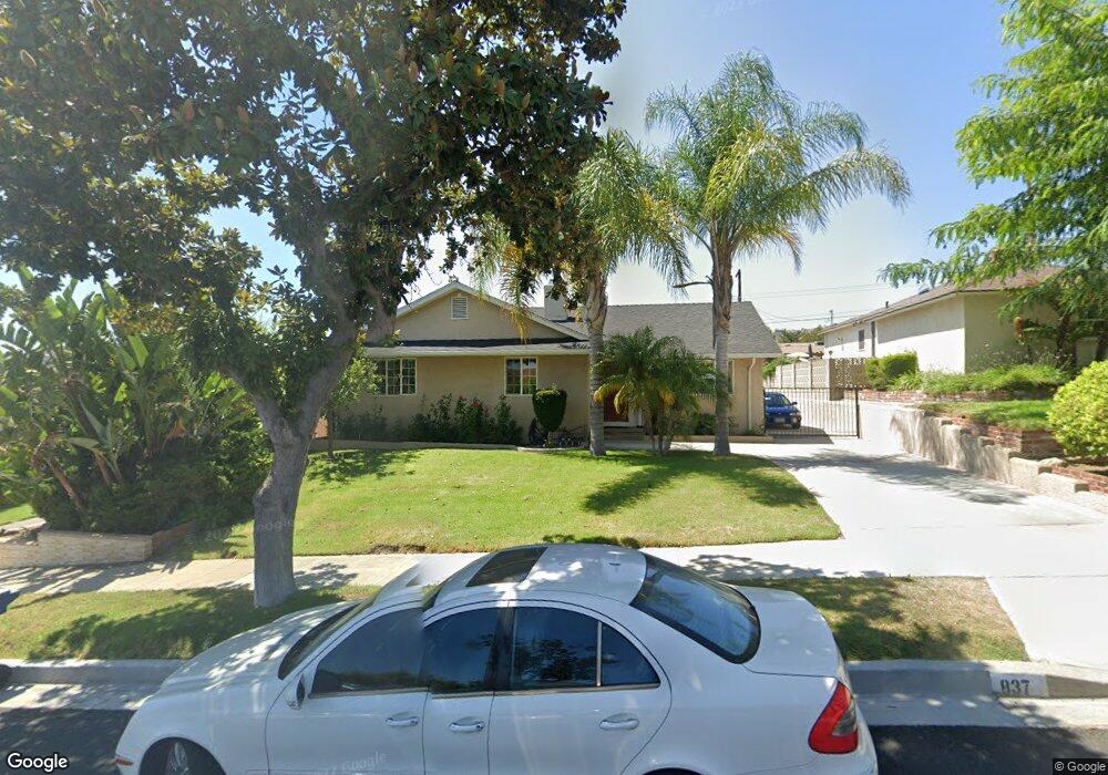
837 Andover Dr Burbank, CA 91504
Hillside District NeighborhoodEstimated Value: $1,309,845 - $1,528,000
3
Beds
2
Baths
1,515
Sq Ft
$971/Sq Ft
Est. Value
About This Home
This home is located at 837 Andover Dr, Burbank, CA 91504 and is currently estimated at $1,470,461, approximately $970 per square foot. 837 Andover Dr is a home located in Los Angeles County with nearby schools including Thomas Jefferson Elementary School, John Muir Middle School, and Burbank High School.
Ownership History
Date
Name
Owned For
Owner Type
Purchase Details
Closed on
Apr 19, 1994
Sold by
Rubin Ronald Dean and Rubin Claudia M
Bought by
Shahjanian Herand
Current Estimated Value
Home Financials for this Owner
Home Financials are based on the most recent Mortgage that was taken out on this home.
Original Mortgage
$203,150
Interest Rate
7.67%
Create a Home Valuation Report for This Property
The Home Valuation Report is an in-depth analysis detailing your home's value as well as a comparison with similar homes in the area
Home Values in the Area
Average Home Value in this Area
Purchase History
| Date | Buyer | Sale Price | Title Company |
|---|---|---|---|
| Shahjanian Herand | $272,000 | North American Title Company |
Source: Public Records
Mortgage History
| Date | Status | Borrower | Loan Amount |
|---|---|---|---|
| Closed | Shahjanian Herand | $203,150 |
Source: Public Records
Tax History Compared to Growth
Tax History
| Year | Tax Paid | Tax Assessment Tax Assessment Total Assessment is a certain percentage of the fair market value that is determined by local assessors to be the total taxable value of land and additions on the property. | Land | Improvement |
|---|---|---|---|---|
| 2025 | $5,016 | $445,287 | $288,935 | $156,352 |
| 2024 | $5,016 | $436,557 | $283,270 | $153,287 |
| 2023 | $4,963 | $427,998 | $277,716 | $150,282 |
| 2022 | $4,742 | $419,607 | $272,271 | $147,336 |
| 2021 | $4,717 | $411,381 | $266,933 | $144,448 |
| 2019 | $4,526 | $399,180 | $259,016 | $140,164 |
| 2018 | $4,384 | $391,354 | $253,938 | $137,416 |
| 2017 | $25 | $383,681 | $248,959 | $134,722 |
| 2016 | $4,152 | $376,159 | $244,078 | $132,081 |
| 2015 | $4,068 | $370,510 | $240,412 | $130,098 |
| 2014 | $4,062 | $363,253 | $235,703 | $127,550 |
Source: Public Records
Map
Nearby Homes
- 812 Uclan Dr
- 648 Uclan Dr
- 441 University Ave
- 906 Groton Dr
- 710 E Walnut Ave
- 736 Irving Dr
- 854 Irving Dr
- 1814 Grismer Ave
- 418 Delaware Rd
- 1923 Grismer Ave
- 2615 Woodstock Ln
- 724 Price Dr
- 1608 Grismer Ave
- 230 Bethany Rd Unit 117
- 1046 E Grinnell Dr
- 1809 Peyton Ave Unit 313
- 620 E Harvard Rd Unit H
- 620 N 6th St Unit 106
- 1622 Keeler St
- 828 E Cypress Ave
- 831 Andover Dr
- 843 Andover Dr
- 825 Andover Dr
- 849 Andover Dr
- 836 Birmingham Rd
- 830 Birmingham Rd
- 842 Birmingham Rd
- 848 Birmingham Rd
- 824 Birmingham Rd
- 819 Andover Dr
- 901 Andover Dr
- 836 Andover Dr
- 842 Andover Dr
- 830 Andover Dr
- 848 Andover Dr
- 900 Birmingham Rd
- 818 Birmingham Rd
- 824 Andover Dr
- 813 Andover Dr
- 907 Andover Dr