8371 Dunham Ct Unit 615 Springfield, VA 22152
Estimated Value: $392,596 - $424,000
2
Beds
2
Baths
1,120
Sq Ft
$361/Sq Ft
Est. Value
About This Home
This home is located at 8371 Dunham Ct Unit 615, Springfield, VA 22152 and is currently estimated at $404,649, approximately $361 per square foot. 8371 Dunham Ct Unit 615 is a home located in Fairfax County with nearby schools including Cardinal Forest Elementary School, Irving Middle School, and West Springfield High School.
Ownership History
Date
Name
Owned For
Owner Type
Purchase Details
Closed on
Dec 1, 1993
Sold by
Stynchula J C
Bought by
Walker William F
Current Estimated Value
Home Financials for this Owner
Home Financials are based on the most recent Mortgage that was taken out on this home.
Original Mortgage
$69,022
Interest Rate
6.69%
Mortgage Type
Purchase Money Mortgage
Create a Home Valuation Report for This Property
The Home Valuation Report is an in-depth analysis detailing your home's value as well as a comparison with similar homes in the area
Home Values in the Area
Average Home Value in this Area
Purchase History
| Date | Buyer | Sale Price | Title Company |
|---|---|---|---|
| Walker William F | $104,500 | -- |
Source: Public Records
Mortgage History
| Date | Status | Borrower | Loan Amount |
|---|---|---|---|
| Closed | Walker William F | $69,022 | |
| Closed | Walker William F | $34,978 |
Source: Public Records
Tax History Compared to Growth
Tax History
| Year | Tax Paid | Tax Assessment Tax Assessment Total Assessment is a certain percentage of the fair market value that is determined by local assessors to be the total taxable value of land and additions on the property. | Land | Improvement |
|---|---|---|---|---|
| 2025 | $3,995 | $362,040 | $72,000 | $290,040 |
| 2024 | $3,995 | $344,800 | $69,000 | $275,800 |
| 2023 | $3,741 | $331,540 | $66,000 | $265,540 |
| 2022 | $3,594 | $314,260 | $63,000 | $251,260 |
| 2021 | $3,353 | $285,690 | $57,000 | $228,690 |
| 2020 | $3,190 | $269,520 | $54,000 | $215,520 |
| 2019 | $3,023 | $255,470 | $51,000 | $204,470 |
| 2018 | $2,803 | $243,730 | $49,000 | $194,730 |
| 2017 | $0 | $234,360 | $47,000 | $187,360 |
| 2016 | -- | $234,360 | $47,000 | $187,360 |
| 2015 | -- | $227,900 | $46,000 | $181,900 |
| 2014 | -- | $203,410 | $41,000 | $162,410 |
Source: Public Records
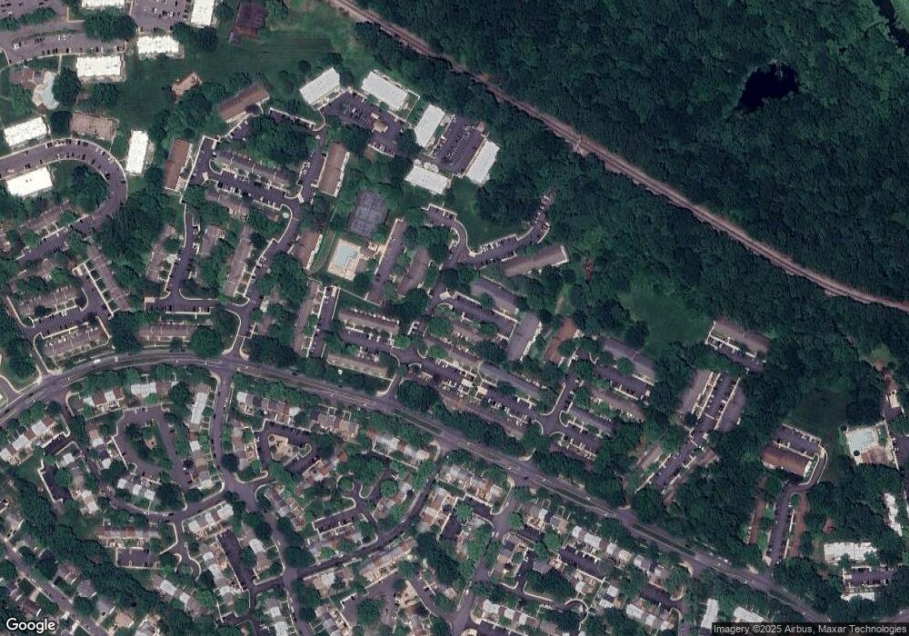
Map
Nearby Homes
- 8344 Darlington St Unit 486
- 8422 Forrester Blvd Unit 580
- 8330 Darlington St Unit 467
- 8336 Forrester Blvd Unit 448
- 8437 Forrester Blvd
- 5824 Rexford Dr Unit 731
- 5778 Rexford Ct Unit 5778B
- 8519 Westover Ct Unit 763
- 5816 Torington Dr Unit 860
- 5944 Queenston St
- 5800 Torington Dr Unit 836
- 5901B Prince George Dr Unit 341
- 5909D Prince James Dr Unit D
- 8218 Carrleigh Pkwy Unit 10
- 5927 Bayshire Rd Unit 115
- 5912 Minutemen Rd Unit 295
- 5921 Minutemen Rd Unit 246
- 8623 James Creek Dr
- 8590 Beatrice Ct
- 6010 Timber Hollow Ln
- 8377 Dunham Ct Unit 618
- 8375 Dunham Ct Unit 617
- 8373 Dunham Ct Unit 616
- 8369 Dunham Ct Unit 614
- 8367 Dunham Ct Unit 613
- 8365 Dunham Ct Unit 612
- 8363 Dunham Ct Unit 611
- 8361 Dunham Ct Unit 610
- 8359 Dunham Ct Unit 609
- 8357 Dunham Ct Unit 608
- 8355 Dunham Ct Unit 607
- 8380 Penshurst Dr Unit 570
- 8378 Penshurst Dr Unit 569
- 8376 Penshurst Dr Unit 568
- 8374 Penshurst Dr Unit 567
- 8372 Penshurst Dr Unit 566
- 8370 Penshurst Dr Unit 565
- 8368 Penshurst Dr Unit 564
- 8366 Penshurst Dr Unit 563
- 8362 Penshurst Dr Unit 561