84 E Danforth Rd Freedom, NH 03836
Estimated Value: $393,000 - $434,000
3
Beds
2
Baths
1,156
Sq Ft
$351/Sq Ft
Est. Value
About This Home
This home is located at 84 E Danforth Rd, Freedom, NH 03836 and is currently estimated at $405,682, approximately $350 per square foot. 84 E Danforth Rd is a home located in Carroll County with nearby schools including Freedom Elementary School.
Ownership History
Date
Name
Owned For
Owner Type
Purchase Details
Closed on
Feb 2, 2016
Sold by
Proulx Denis J and Proulx Beverly A
Bought by
Proulx Ft and Proulx Denis J
Current Estimated Value
Purchase Details
Closed on
Feb 24, 2012
Sold by
Gordon Dennis W and Gordon Yvonne E
Bought by
Proulx Denis James and Proulx Beverly A
Create a Home Valuation Report for This Property
The Home Valuation Report is an in-depth analysis detailing your home's value as well as a comparison with similar homes in the area
Purchase History
| Date | Buyer | Sale Price | Title Company |
|---|---|---|---|
| Proulx Ft | -- | -- | |
| Proulx Ft | -- | -- | |
| Proulx Denis James | $138,000 | -- | |
| Proulx Denis James | $138,000 | -- |
Source: Public Records
Mortgage History
| Date | Status | Borrower | Loan Amount |
|---|---|---|---|
| Closed | Proulx Denis James | $0 |
Source: Public Records
Tax History
| Year | Tax Paid | Tax Assessment Tax Assessment Total Assessment is a certain percentage of the fair market value that is determined by local assessors to be the total taxable value of land and additions on the property. | Land | Improvement |
|---|---|---|---|---|
| 2025 | $2,779 | $376,100 | $148,800 | $227,300 |
| 2024 | $2,700 | $376,100 | $148,800 | $227,300 |
| 2023 | $2,300 | $209,500 | $60,700 | $148,800 |
| 2022 | $2,143 | $209,500 | $60,700 | $148,800 |
| 2021 | $2,273 | $209,500 | $60,700 | $148,800 |
| 2020 | $2,235 | $209,500 | $60,700 | $148,800 |
| 2019 | $2,198 | $162,100 | $63,900 | $98,200 |
| 2018 | $2,096 | $162,100 | $63,900 | $98,200 |
| 2016 | $2,000 | $158,700 | $63,900 | $94,800 |
| 2015 | $1,908 | $157,700 | $58,200 | $99,500 |
| 2014 | $1,924 | $157,700 | $58,200 | $99,500 |
| 2013 | $1,949 | $157,700 | $58,200 | $99,500 |
Source: Public Records
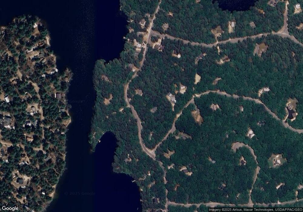
Map
Nearby Homes
- 34 Abenaki Dr
- 5-11 Friedman Ln
- 112 N Broadbay Rd
- Lot 12 Friedman Ln
- 29 Milford Ave
- 16 Channel Rd
- 164 Leavitt Rd
- 2 Quail Rd
- 118 Washington Rd Unit 55
- 0 Burnham Rd Unit 35
- Lot 1 Parsons Rd
- Lot 4 Parsons Rd
- 0 Moulton Rd Unit 24-2
- 78 School St
- Lot 10 Friedman
- 13 Benson Rd
- TBD Towle Hill Rd
- 118 Pound Round Rd
- 118 Round Pond Rd
- 915 E Madison Rd
- 96 E Danforth Rd
- 21 Fife And Drum Way
- 10 Fife And Drum Way
- 25 Fife And Drum Way
- 10 Fife And Drum Way
- 12 Fife And Drum Way
- 97 E Danforth Rd
- 105 E Danforth Rd
- 28 Fife And Drum Way
- 91 E Danforth Rd
- 75 E Danforth Rd
- 111 E Danforth Rd
- 93 E Danforth Rd
- 27 Fife And Drum Way
- 183 Independence Dr
- 179 Independence Dr
- 113 E Danforth Rd
- 38 Fife And Drum Way
- 34 Fife And Drum Way
- 60 E Danforth Rd
Your Personal Tour Guide
Ask me questions while you tour the home.