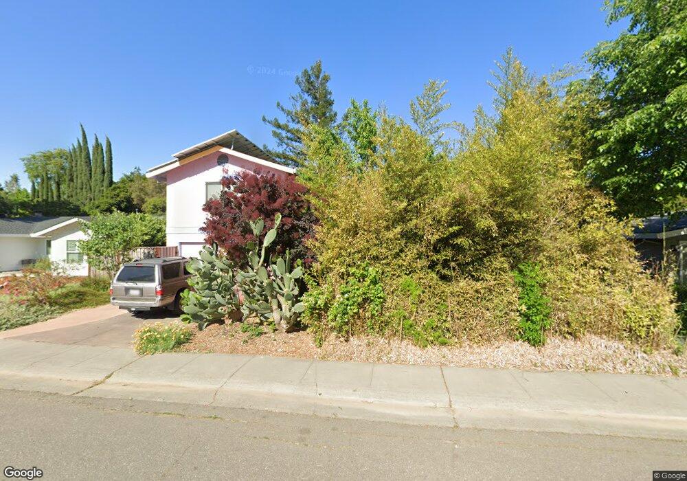
843 Burr St Davis, CA 95616
West Davis NeighborhoodEstimated Value: $1,018,000 - $1,429,000
4
Beds
4
Baths
2,826
Sq Ft
$409/Sq Ft
Est. Value
About This Home
This home is located at 843 Burr St, Davis, CA 95616 and is currently estimated at $1,155,865, approximately $409 per square foot. 843 Burr St is a home located in Yolo County with nearby schools including Robert E. Willett Elementary School, Ralph Waldo Emerson Junior High School, and Davis Senior High School.
Ownership History
Date
Name
Owned For
Owner Type
Purchase Details
Closed on
Jul 1, 2015
Sold by
Armistead Annie Laurie and The Armistead 2011 Living Trus
Bought by
Armistead Annie Laurie and The Annie Laurie Armistead Tru
Current Estimated Value
Purchase Details
Closed on
Jun 7, 2011
Sold by
Armistead Samuel G and Armistead Annie Laurie
Bought by
Armistead Samuel G and Armistead Annie Laurie
Purchase Details
Closed on
Jun 21, 1995
Sold by
Armistead Samuel G
Bought by
Armistead Samuel G and Armistead Annie Laurie
Create a Home Valuation Report for This Property
The Home Valuation Report is an in-depth analysis detailing your home's value as well as a comparison with similar homes in the area
Home Values in the Area
Average Home Value in this Area
Purchase History
| Date | Buyer | Sale Price | Title Company |
|---|---|---|---|
| Armistead Annie Laurie | -- | None Available | |
| Armistead Samuel G | -- | None Available | |
| Armistead Samuel G | -- | -- |
Source: Public Records
Tax History
| Year | Tax Paid | Tax Assessment Tax Assessment Total Assessment is a certain percentage of the fair market value that is determined by local assessors to be the total taxable value of land and additions on the property. | Land | Improvement |
|---|---|---|---|---|
| 2025 | $5,093 | $343,278 | $83,201 | $260,077 |
| 2023 | $5,093 | $329,950 | $79,971 | $249,979 |
| 2022 | $4,865 | $323,481 | $78,403 | $245,078 |
| 2021 | $4,738 | $317,139 | $76,866 | $240,273 |
| 2020 | $4,656 | $313,888 | $76,078 | $237,810 |
| 2019 | $4,377 | $307,735 | $74,587 | $233,148 |
| 2018 | $4,091 | $301,702 | $73,125 | $228,577 |
| 2017 | $4,000 | $295,788 | $71,692 | $224,096 |
| 2016 | $3,849 | $289,989 | $70,287 | $219,702 |
| 2015 | $3,718 | $285,634 | $69,232 | $216,402 |
| 2014 | $3,718 | $280,039 | $67,876 | $212,163 |
Source: Public Records
Map
Nearby Homes
- 638 Arthur St Unit 640
- 1211 Arthur St
- 1418 Yukon St
- 1013 Plum Ln
- 36100 Russell Blvd
- 2144 Calaveras Ave
- 1018 Plum Ln
- 1837 Tahoe Place
- 2406 Overhill Ln
- 1427 Brown Dr
- 1114 Purdue Dr
- 1651 Joshua Tree St
- 2526 Overhill Ln
- 2216 Bryce Ln
- 1560 Drake Dr
- 2705 Brandywine Place
- 1577 Drake Dr
- 2806 Ganges Ave
- 710 Villanova Dr
- 3360 Houser Ct
Your Personal Tour Guide
Ask me questions while you tour the home.