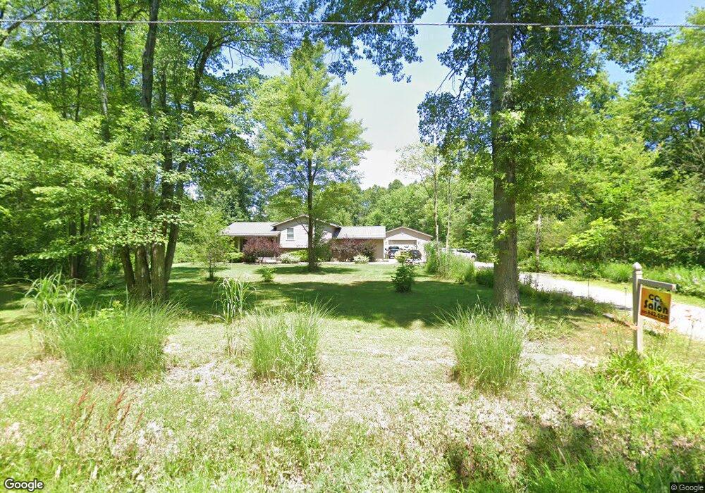
8435 Yale Rd Rootstown, OH 44272
Estimated Value: $388,000 - $413,327
3
Beds
3
Baths
2,178
Sq Ft
$184/Sq Ft
Est. Value
About This Home
This home is located at 8435 Yale Rd, Rootstown, OH 44272 and is currently estimated at $401,332, approximately $184 per square foot. 8435 Yale Rd is a home located in Portage County with nearby schools including Southeast High School.
Create a Home Valuation Report for This Property
The Home Valuation Report is an in-depth analysis detailing your home's value as well as a comparison with similar homes in the area
Tax History Compared to Growth
Tax History
| Year | Tax Paid | Tax Assessment Tax Assessment Total Assessment is a certain percentage of the fair market value that is determined by local assessors to be the total taxable value of land and additions on the property. | Land | Improvement |
|---|---|---|---|---|
| 2024 | $4,003 | $112,910 | $16,940 | $95,970 |
| 2023 | $3,392 | $86,590 | $12,390 | $74,200 |
| 2022 | $3,522 | $86,590 | $12,390 | $74,200 |
| 2021 | $3,553 | $86,590 | $12,390 | $74,200 |
| 2020 | $3,030 | $70,810 | $12,390 | $58,420 |
| 2019 | $3,037 | $70,810 | $12,390 | $58,420 |
| 2018 | $2,895 | $63,560 | $12,390 | $51,170 |
| 2017 | $2,895 | $63,560 | $12,390 | $51,170 |
| 2016 | $2,883 | $63,560 | $12,390 | $51,170 |
| 2015 | $2,764 | $63,560 | $12,390 | $51,170 |
| 2014 | $2,817 | $63,560 | $12,390 | $51,170 |
| 2013 | $2,788 | $63,560 | $12,390 | $51,170 |
Source: Public Records
Map
Nearby Homes
- 2896 Alliance Rd
- 2880 State Route 14
- 2434 Taft Ave
- 2171 Alliance Rd
- 7939 Giddings Rd
- 3207 Prairie Cir
- 3545 Porter Rd
- 00 Ohio 14
- 3609 State Route 225
- 1731 Ohio 225
- 700 Stillwater Dr
- 9408 Tallmadge Rd
- 0 Ohio 225 Unit 5174573
- 7392 Tallmadge Rd
- 0 McClintocksburg Rd Unit 5176449
- 4133 State Route 225
- 6747 Giddings Rd
- 3875 McClintocksburg Rd
- 3798 State Route 183
- 1071 State Route 14