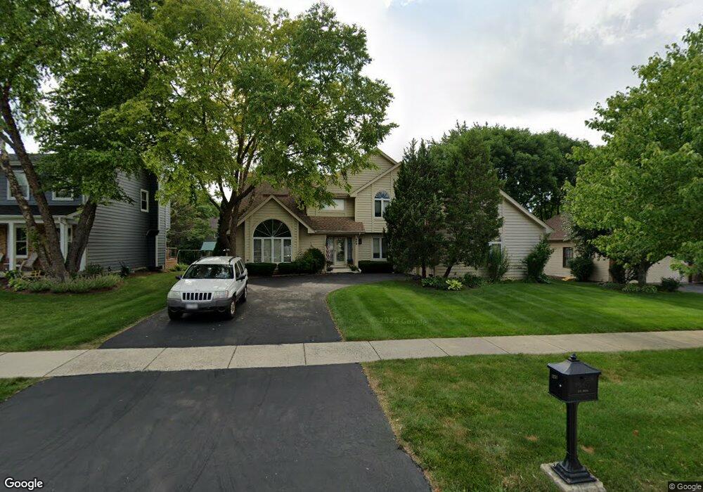
849 S River Rd Naperville, IL 60540
Watts NeighborhoodEstimated Value: $590,000 - $870,000
4
Beds
3
Baths
3,157
Sq Ft
$240/Sq Ft
Est. Value
About This Home
This home is located at 849 S River Rd, Naperville, IL 60540 and is currently estimated at $757,720, approximately $240 per square foot. 849 S River Rd is a home located in DuPage County with nearby schools including May Watts Elementary School, Thayer J. Hill Middle School, and Metea Valley High School.
Ownership History
Date
Name
Owned For
Owner Type
Purchase Details
Closed on
Dec 3, 2025
Sold by
Jennetten Stephen C
Bought by
Stephen C Jennetten Trust and Jennetten
Current Estimated Value
Purchase Details
Closed on
Feb 24, 1995
Sold by
Larrabee Mark W and Larrabee Ana R
Bought by
Jennetten Stephen C and Jennetten Ruth M
Home Financials for this Owner
Home Financials are based on the most recent Mortgage that was taken out on this home.
Original Mortgage
$163,000
Interest Rate
9.21%
Create a Home Valuation Report for This Property
The Home Valuation Report is an in-depth analysis detailing your home's value as well as a comparison with similar homes in the area
Home Values in the Area
Average Home Value in this Area
Purchase History
| Date | Buyer | Sale Price | Title Company |
|---|---|---|---|
| Stephen C Jennetten Trust | -- | None Listed On Document | |
| Jennetten Stephen C | $251,000 | First American Title |
Source: Public Records
Mortgage History
| Date | Status | Borrower | Loan Amount |
|---|---|---|---|
| Previous Owner | Jennetten Stephen C | $163,000 |
Source: Public Records
Tax History
| Year | Tax Paid | Tax Assessment Tax Assessment Total Assessment is a certain percentage of the fair market value that is determined by local assessors to be the total taxable value of land and additions on the property. | Land | Improvement |
|---|---|---|---|---|
| 2024 | $13,045 | $224,995 | $50,270 | $174,725 |
| 2023 | $12,448 | $202,170 | $45,170 | $157,000 |
| 2022 | $12,375 | $192,080 | $42,560 | $149,520 |
| 2021 | $11,976 | $185,220 | $41,040 | $144,180 |
| 2020 | $11,959 | $185,220 | $41,040 | $144,180 |
| 2019 | $11,475 | $176,160 | $39,030 | $137,130 |
| 2018 | $11,207 | $169,320 | $36,890 | $132,430 |
| 2017 | $10,889 | $163,580 | $35,640 | $127,940 |
| 2016 | $10,679 | $156,980 | $34,200 | $122,780 |
| 2015 | $10,563 | $149,050 | $32,470 | $116,580 |
| 2014 | $10,742 | $141,520 | $30,570 | $110,950 |
| 2013 | $10,718 | $142,500 | $30,780 | $111,720 |
Source: Public Records
Map
Nearby Homes
- 1161 Banyon Ct
- 901 Heathrow Ln
- 1262 Rhodes Ln Unit 2701
- 1208 Tennyson Ln
- 625 Buttonwood Cir
- 7S410 Arbor Dr
- 1259 Natchez Trace Cir
- 421 Berry Dr
- 1033 Emerald Dr
- 1308 Stonegate Rd
- 316 Hemlock Ln
- 319 Claremont Ct
- 845 Tulip Ln
- 417 River Bluff Cir
- 511 Aurora Ave Unit 108
- 511 Aurora Ave Unit 620
- 1099 W Jefferson Ave
- 509 Aurora Ave Unit 120
- 509 Aurora Ave Unit 616
- 509 Aurora Ave Unit 109
- 845 S River Rd
- 853 S River Rd
- 850 Raintree Dr
- 841 S River Rd
- 863 S River Rd
- 846 Raintree Dr
- 842 Raintree Dr
- 852 S River Rd
- 848 S River Rd
- 856 S River Rd
- 860 Raintree Dr
- 837 S River Rd
- 860 S River Rd
- 869 S River Rd
- 844 S River Rd
- 838 Raintree Dr Unit 4
- 864 S River Rd
- 833 S River Rd
- 851 Raintree Dr
- 840 S River Rd