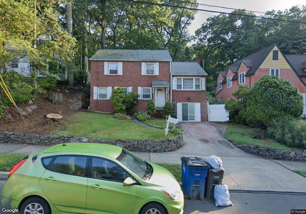
85 Hemlock Rd New Haven, CT 06515
Westville NeighborhoodEstimated Value: $366,000 - $411,000
3
Beds
2
Baths
1,452
Sq Ft
$269/Sq Ft
Est. Value
About This Home
This home is located at 85 Hemlock Rd, New Haven, CT 06515 and is currently estimated at $390,367, approximately $268 per square foot. 85 Hemlock Rd is a home located in New Haven County with nearby schools including Davis Academy for Arts & Design Innovation, Elm City Montessori School, and Hopkins School.
Ownership History
Date
Name
Owned For
Owner Type
Purchase Details
Closed on
Sep 30, 1999
Sold by
Trasacco Alexander J and Trasacco Madeline
Bought by
Carolina Kimberly M
Current Estimated Value
Home Financials for this Owner
Home Financials are based on the most recent Mortgage that was taken out on this home.
Original Mortgage
$113,900
Outstanding Balance
$34,444
Interest Rate
7.85%
Estimated Equity
$355,923
Purchase Details
Closed on
Jul 9, 1993
Sold by
Ahern Family Lp
Bought by
Trasacco Alexander J and Trasacco Madeline
Home Financials for this Owner
Home Financials are based on the most recent Mortgage that was taken out on this home.
Original Mortgage
$94,650
Interest Rate
7.43%
Mortgage Type
Unknown
Purchase Details
Closed on
Dec 18, 1992
Sold by
Est Spear Rhoda S and Belford Richard
Bought by
Ahern Family Lp
Create a Home Valuation Report for This Property
The Home Valuation Report is an in-depth analysis detailing your home's value as well as a comparison with similar homes in the area
Home Values in the Area
Average Home Value in this Area
Purchase History
| Date | Buyer | Sale Price | Title Company |
|---|---|---|---|
| Carolina Kimberly M | $114,000 | -- | |
| Trasacco Alexander J | $95,000 | -- | |
| Ahern Family Lp | $40,000 | -- |
Source: Public Records
Mortgage History
| Date | Status | Borrower | Loan Amount |
|---|---|---|---|
| Open | Ahern Family Lp | $113,900 | |
| Previous Owner | Ahern Family Lp | $96,000 | |
| Previous Owner | Ahern Family Lp | $94,650 |
Source: Public Records
Tax History
| Year | Tax Paid | Tax Assessment Tax Assessment Total Assessment is a certain percentage of the fair market value that is determined by local assessors to be the total taxable value of land and additions on the property. | Land | Improvement |
|---|---|---|---|---|
| 2025 | $7,231 | $183,540 | $62,440 | $121,100 |
| 2024 | $7,066 | $183,540 | $62,440 | $121,100 |
| 2023 | $6,828 | $183,540 | $62,440 | $121,100 |
| 2022 | $7,296 | $183,540 | $62,440 | $121,100 |
| 2021 | $5,772 | $131,530 | $40,600 | $90,930 |
| 2020 | $5,772 | $131,530 | $40,600 | $90,930 |
| 2019 | $5,653 | $131,530 | $40,600 | $90,930 |
| 2018 | $5,653 | $131,530 | $40,600 | $90,930 |
| 2017 | $5,088 | $131,530 | $40,600 | $90,930 |
| 2016 | $5,448 | $131,110 | $42,140 | $88,970 |
| 2015 | $5,448 | $131,110 | $42,140 | $88,970 |
| 2014 | $5,448 | $131,110 | $42,140 | $88,970 |
Source: Public Records
Map
Nearby Homes
- 224 Ray Rd
- 125 Lowin Ave
- 21 Richmond Ave
- 252 Alden Ave
- 143 Fountain St Unit A11
- 1016 Whalley Ave Unit 6
- 51 Fountain Terrace
- 107 Glen View Terrace
- 27 Valley Place N
- 159 Lawncrest Rd
- 1 Long Hill Terrace
- 141 Valley St
- 55 Marvel Rd
- 2095 Chapel St
- 420 Central Ave
- 595 Central Ave
- 119 Westwood Rd
- 53 Victory Dr
- 56 Roger Rd
- 57 Austin St
Your Personal Tour Guide
Ask me questions while you tour the home.