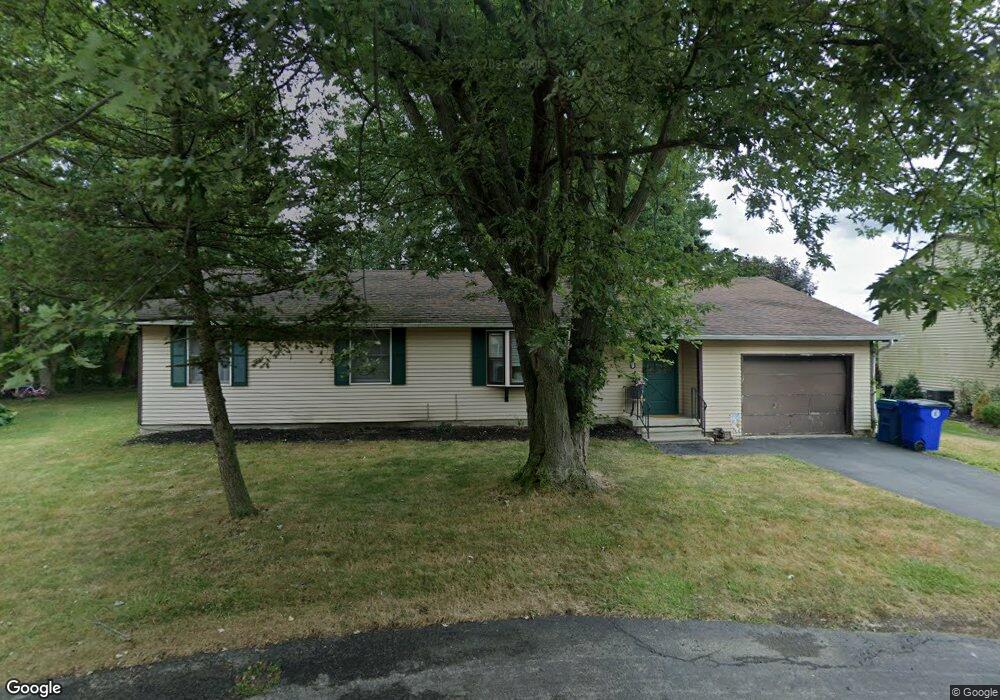
855 Robin Rd Buffalo, NY 14228
Getzville NeighborhoodEstimated Value: $315,554 - $324,000
3
Beds
1
Bath
1,228
Sq Ft
$260/Sq Ft
Est. Value
About This Home
This home is located at 855 Robin Rd, Buffalo, NY 14228 and is currently estimated at $319,639, approximately $260 per square foot. 855 Robin Rd is a home located in Erie County with nearby schools including Heim Elementary School, Heim Middle School, and Williamsville North High School.
Ownership History
Date
Name
Owned For
Owner Type
Purchase Details
Closed on
Jun 12, 2007
Sold by
Dunatov Stephen M and Dunatov Stephanie M
Bought by
Aquilino Alexander N
Current Estimated Value
Home Financials for this Owner
Home Financials are based on the most recent Mortgage that was taken out on this home.
Original Mortgage
$108,014
Outstanding Balance
$67,125
Interest Rate
6.48%
Mortgage Type
FHA
Estimated Equity
$252,514
Purchase Details
Closed on
Feb 17, 1998
Sold by
Trust Wallace Helen B
Bought by
Dunatov Stpehen M and Dunatov Stpehanie M
Create a Home Valuation Report for This Property
The Home Valuation Report is an in-depth analysis detailing your home's value as well as a comparison with similar homes in the area
Home Values in the Area
Average Home Value in this Area
Purchase History
| Date | Buyer | Sale Price | Title Company |
|---|---|---|---|
| Aquilino Alexander N | $109,710 | None Available | |
| Dunatov Stpehen M | $77,600 | -- |
Source: Public Records
Mortgage History
| Date | Status | Borrower | Loan Amount |
|---|---|---|---|
| Open | Aquilino Alexander N | $108,014 |
Source: Public Records
Tax History
| Year | Tax Paid | Tax Assessment Tax Assessment Total Assessment is a certain percentage of the fair market value that is determined by local assessors to be the total taxable value of land and additions on the property. | Land | Improvement |
|---|---|---|---|---|
| 2024 | $5,953 | $280,000 | $65,000 | $215,000 |
| 2023 | $5,554 | $160,000 | $38,500 | $121,500 |
| 2022 | $5,186 | $160,000 | $38,500 | $121,500 |
| 2021 | $5,088 | $160,000 | $38,500 | $121,500 |
| 2020 | $4,478 | $160,000 | $38,500 | $121,500 |
| 2019 | $4,392 | $160,000 | $38,500 | $121,500 |
| 2018 | $4,307 | $160,000 | $38,500 | $121,500 |
| 2017 | $1,704 | $160,000 | $38,500 | $121,500 |
| 2016 | $3,302 | $110,700 | $24,600 | $86,100 |
| 2015 | -- | $110,700 | $24,600 | $86,100 |
| 2014 | -- | $110,700 | $24,600 | $86,100 |
Source: Public Records
Map
Nearby Homes
- 843 Robin Rd
- 899 Dodge Rd
- 10A Foxberry Dr S
- 79B Foxberry Dr Unit 79B
- 6A Foxberry Dr
- 70 Foxberry Dr Unit A
- 90 Foxberry Dr Unit A
- 98 Foxberry Dr Unit A
- 28 Foxberry Dr
- 237 Wyeth Dr
- 151 Wyeth Dr
- 1010 Dodge Rd
- 63 Sovereign Ct
- 230 Schimwood Ct
- 33 Heim Rd
- 2110 N Forest Rd
- 1205 Dodge Rd
- 89 Montbleu Dr
- 27 Summerview Rd
- 64 Montbleu Dr
Your Personal Tour Guide
Ask me questions while you tour the home.