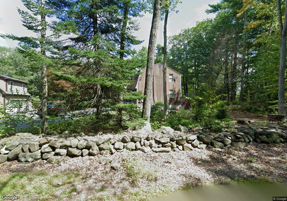
858 Center Rd Lyndeborough, NH 03082
Estimated Value: $499,000 - $706,000
3
Beds
2
Baths
1,981
Sq Ft
$295/Sq Ft
Est. Value
About This Home
This home is located at 858 Center Rd, Lyndeborough, NH 03082 and is currently estimated at $583,684, approximately $294 per square foot. 858 Center Rd is a home located in Hillsborough County with nearby schools including Lyndeborough Central School, Wilton-Lyndeborough Cooperative Middle School, and Wilton-Lyndeborough Cooperative High School.
Ownership History
Date
Name
Owned For
Owner Type
Purchase Details
Closed on
Aug 5, 2021
Sold by
Lessard Mark and Lessard Linda
Bought by
M L Lee 2021 Ret
Current Estimated Value
Create a Home Valuation Report for This Property
The Home Valuation Report is an in-depth analysis detailing your home's value as well as a comparison with similar homes in the area
Home Values in the Area
Average Home Value in this Area
Purchase History
| Date | Buyer | Sale Price | Title Company |
|---|---|---|---|
| M L Lee 2021 Ret | -- | None Available |
Source: Public Records
Tax History Compared to Growth
Tax History
| Year | Tax Paid | Tax Assessment Tax Assessment Total Assessment is a certain percentage of the fair market value that is determined by local assessors to be the total taxable value of land and additions on the property. | Land | Improvement |
|---|---|---|---|---|
| 2024 | $8,756 | $338,600 | $85,200 | $253,400 |
| 2023 | $8,049 | $338,600 | $85,200 | $253,400 |
| 2022 | $6,924 | $313,300 | $85,200 | $228,100 |
| 2021 | $5,381 | $243,500 | $85,200 | $158,300 |
| 2020 | $5,196 | $243,500 | $85,200 | $158,300 |
| 2019 | $5,376 | $184,500 | $78,400 | $106,100 |
| 2018 | $5,143 | $182,300 | $78,400 | $103,900 |
| 2017 | $5,057 | $182,300 | $78,400 | $103,900 |
| 2016 | $5,057 | $182,300 | $78,400 | $103,900 |
| 2015 | $4,610 | $182,300 | $78,400 | $103,900 |
| 2013 | $4,414 | $183,900 | $78,400 | $105,500 |
Source: Public Records
Map
Nearby Homes
- 80 Salisbury Rd
- 24 Glass Factory Rd
- 222 Forest Rd
- 79 Salisbury Rd
- 2 Wallace Ln
- 57 Richardson Rd
- 69 Purgatory Rd
- 31 Cross Rd
- A 66 Burton Hwy
- 8 Maple St
- 10 Mill St
- 27 Island St
- 4 Trow Rd
- 496 Mountain Rd
- 134 Falcon Ridge Rd Unit 23
- 8 Francestown Turnpike
- 26 N Main St Unit 7
- 26 N Main St Unit 9
- 757 Forest Rd
- 2-47 Old Amherst Rd
- 8 Curtis Brook Rd
- n/a Corner of Center and Curtis Brook Rd
- n/a Curtis Brook Rd
- 868 Center Rd
- 18 Curtis Brook Rd
- 18 Curtis Brook Rd
- 19 Curtis Brook Rd
- 31 Curtis Brook Rd
- 845 Center Rd
- 73 Bracketts Cross Rd
- 892 Center Rd
- 50 Bracketts Cross Rd
- 885 Center Rd
- 49 Bracketts Cross Rd
- 41 Curtis Brook Rd
- 40 Curtis Brook Rd
- 42 Bracketts Cross Rd
- 45 Bracketts Cross Rd
- 901 Center Rd
- 904 Center Rd