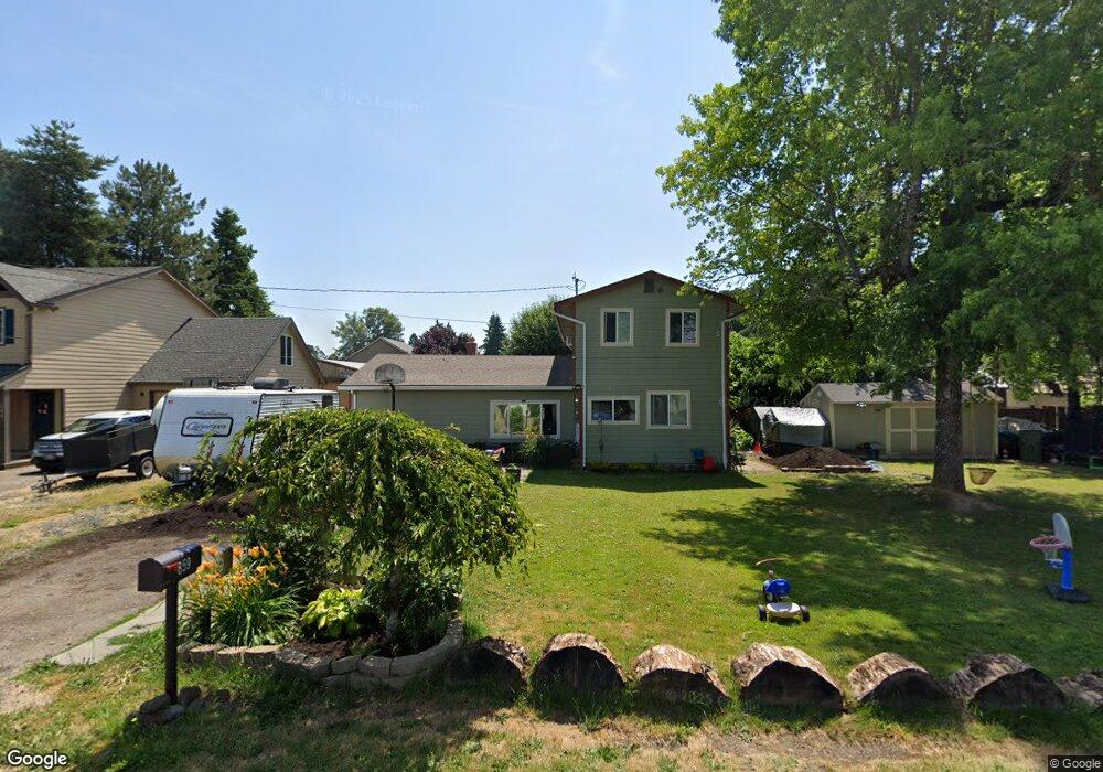
859 SE Maple St Dundee, OR 97115
Dundee NeighborhoodEstimated Value: $428,000 - $475,000
4
Beds
3
Baths
1,617
Sq Ft
$277/Sq Ft
Est. Value
About This Home
This home is located at 859 SE Maple St, Dundee, OR 97115 and is currently estimated at $448,179, approximately $277 per square foot. 859 SE Maple St is a home located in Yamhill County with nearby schools including Dundee Elementary School, Chehalem Valley Middle School, and Newberg Senior High School.
Ownership History
Date
Name
Owned For
Owner Type
Purchase Details
Closed on
Apr 14, 2006
Sold by
Paterson Heather L
Bought by
Paterson Heather L and Butterworth Robert
Current Estimated Value
Home Financials for this Owner
Home Financials are based on the most recent Mortgage that was taken out on this home.
Original Mortgage
$39,000
Interest Rate
6.2%
Mortgage Type
Stand Alone Second
Purchase Details
Closed on
Apr 10, 2006
Sold by
Ledet Phillip A and Ledet Denise M
Bought by
Paterson Heather L
Home Financials for this Owner
Home Financials are based on the most recent Mortgage that was taken out on this home.
Original Mortgage
$39,000
Interest Rate
6.2%
Mortgage Type
Stand Alone Second
Create a Home Valuation Report for This Property
The Home Valuation Report is an in-depth analysis detailing your home's value as well as a comparison with similar homes in the area
Home Values in the Area
Average Home Value in this Area
Purchase History
| Date | Buyer | Sale Price | Title Company |
|---|---|---|---|
| Paterson Heather L | -- | Ticor Title Insurance Co | |
| Paterson Heather L | $195,000 | Ticor Title Insurance Co |
Source: Public Records
Mortgage History
| Date | Status | Borrower | Loan Amount |
|---|---|---|---|
| Closed | Paterson Heather L | $39,000 |
Source: Public Records
Tax History
| Year | Tax Paid | Tax Assessment Tax Assessment Total Assessment is a certain percentage of the fair market value that is determined by local assessors to be the total taxable value of land and additions on the property. | Land | Improvement |
|---|---|---|---|---|
| 2025 | $2,563 | $181,493 | -- | -- |
| 2024 | $2,398 | $176,207 | -- | -- |
| 2023 | $2,331 | $171,075 | $0 | $0 |
| 2022 | $2,287 | $166,092 | $0 | $0 |
| 2021 | $2,241 | $161,254 | $0 | $0 |
| 2020 | $2,010 | $156,557 | $0 | $0 |
| 2019 | $2,010 | $151,997 | $0 | $0 |
| 2018 | $2,043 | $147,570 | $0 | $0 |
| 2017 | $2,226 | $143,272 | $0 | $0 |
| 2016 | $2,188 | $139,099 | $0 | $0 |
| 2015 | $2,111 | $135,050 | $0 | $0 |
| 2014 | $1,906 | $131,118 | $0 | $0 |
Source: Public Records
Map
Nearby Homes
- 759 SE Elm St
- 580 SW 9th St
- 906 SW Alder St
- 906 SW Alder St Unit 4
- 625 SW 9th St Unit 2
- 759 SW Carmen Heights Dr
- 1029 SW View Crest Dr
- 287 SW Oliver Ct
- 986 SW Tomahawk Place
- 165 NW Peach St
- 242 NW Ione St
- 9989 NE Trillium Ln
- 10580 NE Fox Farm Rd
- 10623 NE Fox Farm Rd
- 19855 NE Trunk Rd
- 1824 NE Waterfront St
- 20600 NE Overlook Dr
- 20850 NE Big Fir Ln
- 11220 NE Otter Dr
- 19601 NE Trunk Rd
- 841 SE Maple St
- 880 SE Locust St
- 892 SE Locust St
- 0 SE Maple St
- 826 SE Locust St
- 320 SE 9th St
- 839 SE Maple St
- 896 SE Locust St
- 896 SE Locust St Unit 1
- 810 SE Locust St
- 892 SE Maple St
- 909 SE Maple St
- 842 SE Maple St
- 857 SE Locust St
- 879 SE Locust St
- 910 SE Locust St
- 925 SE Maple St
- 835 SE Locust St
- 0 SE Locust St
- 813 SE Locust St
Your Personal Tour Guide
Ask me questions while you tour the home.