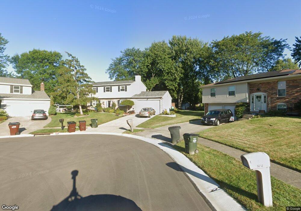
8600 Toronto Ct Cincinnati, OH 45255
Estimated Value: $328,000 - $374,000
4
Beds
4
Baths
1,800
Sq Ft
$198/Sq Ft
Est. Value
About This Home
This home is located at 8600 Toronto Ct, Cincinnati, OH 45255 and is currently estimated at $356,208, approximately $197 per square foot. 8600 Toronto Ct is a home located in Hamilton County with nearby schools including Summit Elementary School, Nagel Middle School, and Anderson High School.
Ownership History
Date
Name
Owned For
Owner Type
Purchase Details
Closed on
Aug 31, 2022
Sold by
Wadley David H and Wadley Amy C
Bought by
Wadley Family Trust
Current Estimated Value
Purchase Details
Closed on
Mar 31, 1998
Sold by
Owens Jr Albert P and Owens Kathleen M
Bought by
Wadley David H and Wadley Amy C
Purchase Details
Closed on
Jan 24, 1996
Sold by
White Dale S and White Jacqueline M
Bought by
Owens Jr Albert P
Home Financials for this Owner
Home Financials are based on the most recent Mortgage that was taken out on this home.
Original Mortgage
$100,000
Interest Rate
7.19%
Create a Home Valuation Report for This Property
The Home Valuation Report is an in-depth analysis detailing your home's value as well as a comparison with similar homes in the area
Home Values in the Area
Average Home Value in this Area
Purchase History
| Date | Buyer | Sale Price | Title Company |
|---|---|---|---|
| Wadley Family Trust | -- | -- | |
| Wadley David H | $129,000 | -- | |
| Owens Jr Albert P | -- | -- |
Source: Public Records
Mortgage History
| Date | Status | Borrower | Loan Amount |
|---|---|---|---|
| Previous Owner | Owens Jr Albert P | $100,000 | |
| Closed | Owens Jr Albert P | $30,000 |
Source: Public Records
Tax History
| Year | Tax Paid | Tax Assessment Tax Assessment Total Assessment is a certain percentage of the fair market value that is determined by local assessors to be the total taxable value of land and additions on the property. | Land | Improvement |
|---|---|---|---|---|
| 2025 | $6,252 | $99,946 | $15,778 | $84,168 |
| 2023 | $5,780 | $99,946 | $15,778 | $84,168 |
| 2022 | $4,403 | $67,757 | $13,717 | $54,040 |
| 2021 | $4,299 | $67,757 | $13,717 | $54,040 |
| 2020 | $4,348 | $67,757 | $13,717 | $54,040 |
| 2019 | $4,238 | $59,962 | $12,138 | $47,824 |
| 2018 | $3,970 | $59,962 | $12,138 | $47,824 |
| 2017 | $3,745 | $59,962 | $12,138 | $47,824 |
| 2016 | $3,615 | $56,536 | $11,897 | $44,639 |
| 2015 | $3,511 | $56,536 | $11,897 | $44,639 |
| 2014 | $3,513 | $56,536 | $11,897 | $44,639 |
| 2013 | $3,390 | $57,687 | $12,138 | $45,549 |
Source: Public Records
Map
Nearby Homes
- 8602 Linderwood Ln
- 4077 Mclean Dr
- 1676 Laval Dr
- 4047 Mclean Dr
- 1333 Eight Mile Rd
- 1662 Hilltree Dr
- 1251 Eight Mile Rd
- 1757 Muskegon Dr
- 1748 Hilltree Dr
- 492 Mapleleaf Dr
- 496 Mapleleaf Dr
- 1400 Sigma Cir
- 1054 Eight Mile Rd
- 8303 Tidewater Ct
- 1038 8 Mile Rd
- 1847 Eight Mile Rd
- 2015 Tall Pines Ln
- 8096 Pineterrace Dr
- 8372 Benton Ridge Ln
- 0 Clough Pike Unit 1861584
- 8608 Toronto Ct
- 8601 Toronto Ct
- 8599 Manitoba Dr
- 8589 Manitoba Dr
- 8607 Manitoba Dr
- 8616 Toronto Ct
- 8581 Manitoba Dr
- 8619 Manitoba Dr
- 8609 Toronto Ct
- 8625 Manitoba Dr
- 8594 Coran Dr
- 8617 Toronto Ct
- 8588 Coran Dr
- 8602 Coran Dr
- 8631 Manitoba Dr
- 8608 Coran Dr
- 8582 Coran Dr
- 8625 Toronto Ct
- 8618 Coran Dr
- 8637 Manitoba Dr
Your Personal Tour Guide
Ask me questions while you tour the home.