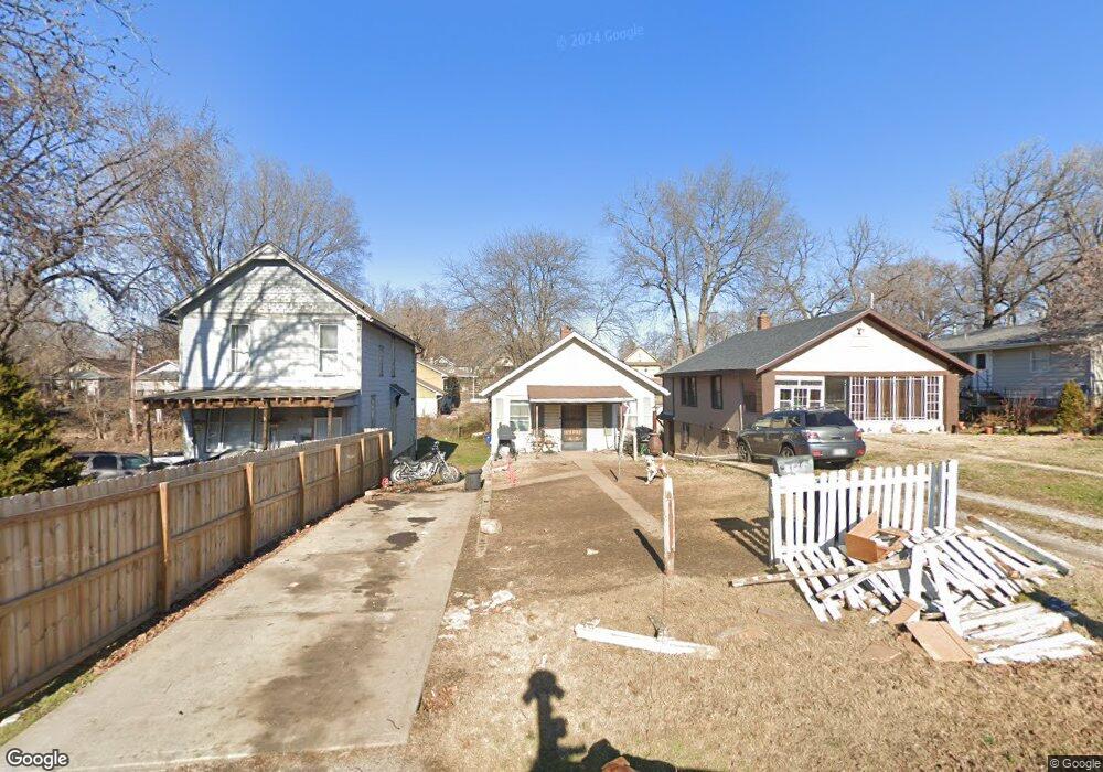
8618 Independence Ave Kansas City, MO 64125
North Blue Ridge NeighborhoodEstimated Value: $40,000 - $81,985
2
Beds
1
Bath
760
Sq Ft
$83/Sq Ft
Est. Value
About This Home
This home is located at 8618 Independence Ave, Kansas City, MO 64125 and is currently estimated at $63,328, approximately $83 per square foot. 8618 Independence Ave is a home located in Jackson County with nearby schools including Pitcher Elementary School, Northeast Middle School, and East High School.
Ownership History
Date
Name
Owned For
Owner Type
Purchase Details
Closed on
Dec 2, 2021
Sold by
Tricarico Iii Louis V and Tricarico Sunshine
Bought by
Noble Kathy L
Current Estimated Value
Purchase Details
Closed on
Apr 1, 2014
Sold by
Stults Michael D
Bought by
Tricarico Louis V
Purchase Details
Closed on
Jun 30, 1997
Sold by
Lynn Mccurley Laura
Bought by
Stults Michael D
Home Financials for this Owner
Home Financials are based on the most recent Mortgage that was taken out on this home.
Original Mortgage
$7,900
Interest Rate
7.92%
Mortgage Type
Seller Take Back
Create a Home Valuation Report for This Property
The Home Valuation Report is an in-depth analysis detailing your home's value as well as a comparison with similar homes in the area
Home Values in the Area
Average Home Value in this Area
Purchase History
| Date | Buyer | Sale Price | Title Company |
|---|---|---|---|
| Noble Kathy L | -- | None Listed On Document | |
| Tricarico Louis V | -- | None Available | |
| Stults Michael D | -- | -- |
Source: Public Records
Mortgage History
| Date | Status | Borrower | Loan Amount |
|---|---|---|---|
| Previous Owner | Stults Michael D | $7,900 |
Source: Public Records
Tax History Compared to Growth
Tax History
| Year | Tax Paid | Tax Assessment Tax Assessment Total Assessment is a certain percentage of the fair market value that is determined by local assessors to be the total taxable value of land and additions on the property. | Land | Improvement |
|---|---|---|---|---|
| 2025 | $779 | $9,297 | $2,284 | $7,013 |
| 2024 | $772 | $9,874 | $1,562 | $8,312 |
| 2023 | $772 | $9,875 | $979 | $8,896 |
| 2022 | $578 | $7,030 | $1,321 | $5,709 |
| 2021 | $576 | $7,030 | $1,321 | $5,709 |
| 2020 | $558 | $6,724 | $1,321 | $5,403 |
| 2019 | $547 | $6,724 | $1,321 | $5,403 |
| 2018 | $559 | $7,026 | $959 | $6,067 |
| 2017 | $559 | $7,026 | $959 | $6,067 |
| 2016 | $548 | $6,850 | $783 | $6,067 |
| 2014 | $534 | $6,650 | $760 | $5,890 |
Source: Public Records
Map
Nearby Homes
- 0 Ave
- 8414 Independence Ave
- 8406 Independence Ave
- 508 Wallace Ave
- 504 Wallace Ave
- 485 Donnelly Ave
- 480 Donnelly Ave
- 8810 E Smart Ave
- 8908 E Thompson Ave
- 8903 E Winner Rd
- 8319 Morrell Ave
- 8840 E Wilson Rd
- 526 S Brookside Ave
- 9311 E 9th St S
- 572 S Crescent Ave
- 104 S Oxford Ave
- 100 S Oxford Ave
- 149 N Ditzler Ave
- 826 S Arlington Ave
- 536 S Evanston Ave
- 8620 Independence Ave
- 8616 Independence Ave
- 8704 Independence Ave
- 8706 Independence Ave
- 8600 Roberts St
- 8619 Roberts St
- 8617 Roberts St
- 8708 Independence Ave
- 8615 Roberts St
- 8606 Independence Ave
- 8611 Roberts St
- 8710 Independence Ave
- 8703 Independence Ave
- 8604 Independence Ave
- 8609 Roberts St
- 8705 Independence Ave
- 8712 Independence Ave
- 8602 Independence Ave
- 8707 Independence Ave
- 8605 Roberts St