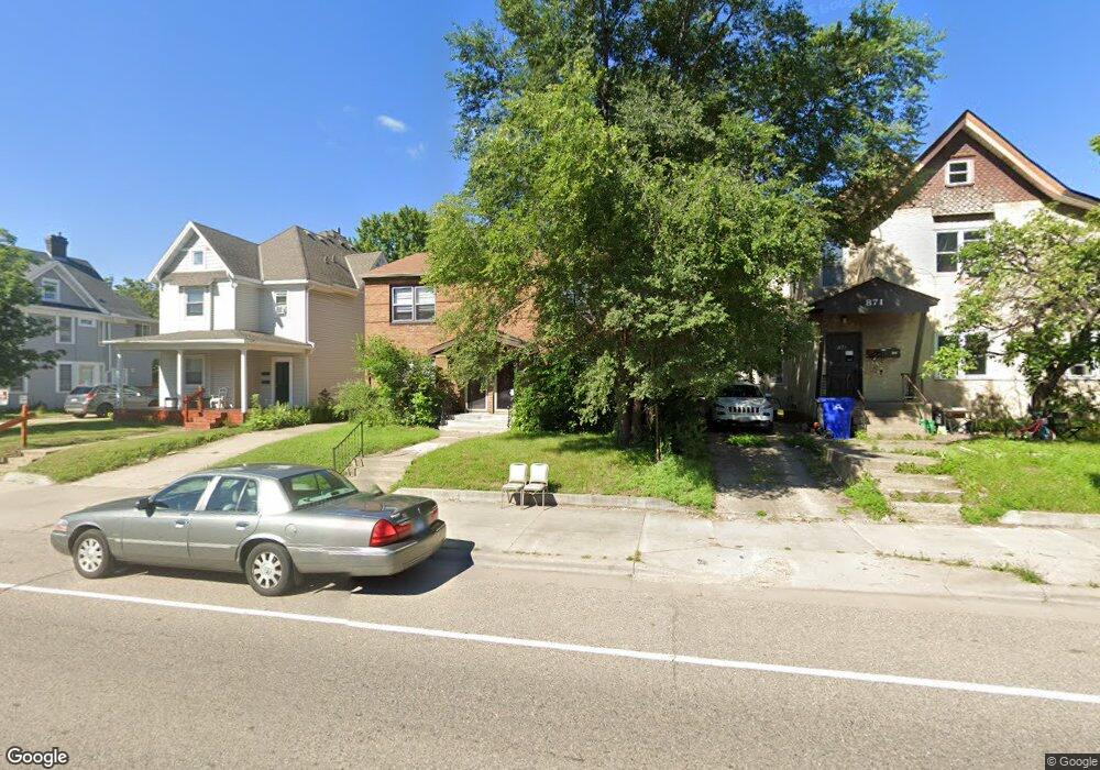
865 Snelling Ave N Saint Paul, MN 55104
Hamline-Midway NeighborhoodEstimated Value: $348,274 - $431,000
4
Beds
2
Baths
2,200
Sq Ft
$176/Sq Ft
Est. Value
About This Home
This home is located at 865 Snelling Ave N, Saint Paul, MN 55104 and is currently estimated at $386,319, approximately $175 per square foot. 865 Snelling Ave N is a home located in Ramsey County with nearby schools including Hancock/Hamline Magnet Elementary School, Murray Middle School, and Como Park Senior High School.
Ownership History
Date
Name
Owned For
Owner Type
Purchase Details
Closed on
Jan 4, 2001
Sold by
Rychner Dorothy L
Bought by
Malone Leo and Malone Lisa J
Current Estimated Value
Create a Home Valuation Report for This Property
The Home Valuation Report is an in-depth analysis detailing your home's value as well as a comparison with similar homes in the area
Home Values in the Area
Average Home Value in this Area
Purchase History
| Date | Buyer | Sale Price | Title Company |
|---|---|---|---|
| Malone Leo | $185,000 | -- |
Source: Public Records
Tax History Compared to Growth
Tax History
| Year | Tax Paid | Tax Assessment Tax Assessment Total Assessment is a certain percentage of the fair market value that is determined by local assessors to be the total taxable value of land and additions on the property. | Land | Improvement |
|---|---|---|---|---|
| 2025 | $6,912 | $348,500 | $24,700 | $323,800 |
| 2023 | $6,912 | $346,600 | $24,700 | $321,900 |
| 2022 | $5,696 | $321,700 | $24,700 | $297,000 |
| 2021 | $5,436 | $279,000 | $24,700 | $254,300 |
| 2020 | $5,270 | $275,400 | $24,700 | $250,700 |
| 2019 | $5,476 | $247,300 | $24,700 | $222,600 |
| 2018 | $4,532 | $244,400 | $24,700 | $219,700 |
| 2017 | $4,374 | $213,100 | $26,300 | $186,800 |
| 2016 | $4,198 | $0 | $0 | $0 |
| 2015 | $4,022 | $192,000 | $26,300 | $165,700 |
| 2014 | $3,594 | $0 | $0 | $0 |
Source: Public Records
Map
Nearby Homes
- 774 Aldine St
- 1527 Minnehaha Ave W
- 715 Fry St
- 1437 Englewood Ave
- 1468 Minnehaha Ave W
- 1595 Blair Ave
- 1377 Hewitt Ave
- 1515 Blair Ave
- 1434 Minnehaha Ave W
- 1756 Minnehaha Ave W
- 1506 Blair Ave
- 1470 Blair Ave
- 1843 Taylor Ave W
- 1831 Englewood Ave
- 1391 Van Buren Ave
- 1698 Lafond Ave
- 1318 Taylor Ave W
- 1372 Carling Dr Unit 208
- 682 Fairview Ave N
- 1611 Edmund Ave
- 871 Snelling Ave N Unit 2
- 861 Snelling Ave N
- 877 Snelling Ave N
- 851 Snelling Ave N
- 1596 Taylor Ave W
- 1600 Taylor Ave W
- 1606 Taylor Ave W
- 1593 Hewitt Ave
- 1591 Taylor Ave W Unit 3
- 1610 Taylor Ave W
- 1593 Taylor Ave W
- 1599 Taylor Ave W
- 1607 Hewitt Ave Unit 5
- 1607 Hewitt Ave
- 1616 Taylor Ave W
- 858 Fry St
- 1605 Taylor Ave W
- 1613 Hewitt Ave
- 1607 Taylor Ave W
- 1617 Hewitt Ave