Estimated Value: $411,000 - $477,000
4
Beds
2
Baths
1,850
Sq Ft
$240/Sq Ft
Est. Value
About This Home
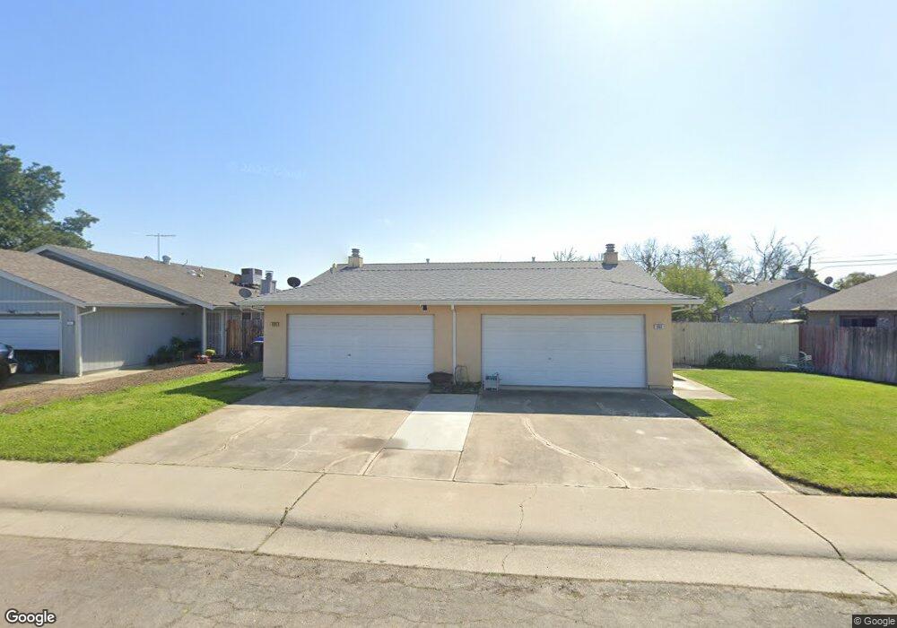
This home is located at 866 Delane Dr, Galt, CA 95632 and is currently estimated at $443,158, approximately $239 per square foot. 866 Delane Dr is a home located in Sacramento County with nearby schools including River Oaks Elementary School, Robert L. McCaffrey Middle School, and Galt High School.
Ownership History
Date
Name
Owned For
Owner Type
Purchase Details
Closed on
Feb 23, 2019
Sold by
Martins Antonio F and Martins Eria F
Bought by
Melo Sandy and Melo Lino
Current Estimated Value
Purchase Details
Closed on
Sep 11, 2007
Sold by
Martins Antonio F and Martins Eria F
Bought by
Mesat Family Lp
Purchase Details
Closed on
Feb 23, 2006
Sold by
Martins Antonio F and Martins Eria F
Bought by
Martins Antonio F and Martins Eria F
Purchase Details
Closed on
Nov 2, 1999
Sold by
Cox Dorothe M
Bought by
Martins Antonio F and Martins Eria F
Home Financials for this Owner
Home Financials are based on the most recent Mortgage that was taken out on this home.
Original Mortgage
$92,000
Interest Rate
7.75%
Create a Home Valuation Report for This Property
The Home Valuation Report is an in-depth analysis detailing your home's value as well as a comparison with similar homes in the area
Home Values in the Area
Average Home Value in this Area
Purchase History
| Date | Buyer | Sale Price | Title Company |
|---|---|---|---|
| Melo Sandy | -- | None Available | |
| Mesat Family Lp | -- | None Available | |
| Martins Antonio F | -- | None Available | |
| Martins Antonio F | $115,000 | Fidelity National Title Co |
Source: Public Records
Mortgage History
| Date | Status | Borrower | Loan Amount |
|---|---|---|---|
| Previous Owner | Martins Antonio F | $92,000 |
Source: Public Records
Tax History
| Year | Tax Paid | Tax Assessment Tax Assessment Total Assessment is a certain percentage of the fair market value that is determined by local assessors to be the total taxable value of land and additions on the property. | Land | Improvement |
|---|---|---|---|---|
| 2025 | $1,945 | $176,727 | $38,413 | $138,314 |
| 2024 | $1,945 | $173,262 | $37,660 | $135,602 |
| 2023 | $1,912 | $169,866 | $36,922 | $132,944 |
| 2022 | $1,835 | $166,537 | $36,199 | $130,338 |
| 2021 | $1,837 | $163,273 | $35,490 | $127,783 |
| 2020 | $1,822 | $161,600 | $35,127 | $126,473 |
| 2019 | $1,777 | $158,433 | $34,439 | $123,994 |
| 2018 | $1,774 | $155,327 | $33,764 | $121,563 |
| 2017 | $1,704 | $152,282 | $33,102 | $119,180 |
| 2016 | $1,638 | $149,297 | $32,453 | $116,844 |
| 2015 | $1,581 | $147,055 | $31,966 | $115,089 |
| 2014 | $1,577 | $144,175 | $31,340 | $112,835 |
Source: Public Records
Map
Nearby Homes
- 873 Delane Dr
- 650 Nathaniel Ave
- 695 Spaans Dr
- 604 Pringle Ave Unit 94
- 604 Pringle Ave Unit 1
- 604 Pringle Ave Unit 87
- 979 Ayers Ln
- 821 Ashboro Ln
- 820 N Lincoln Way Unit 42
- 820 N Lincoln Way Unit 7
- 10657 Simmerhorn Rd
- 350 Palin Ave
- 952 Colson Way
- 764 Cobble Hill Way
- 932 Vintage Oak Ave
- 719 Summit Lakes Way
- 973 Stenton Way
- 246 Oak Ave
- 219 Lois Ave
- 232 Oak Ave
Your Personal Tour Guide
Ask me questions while you tour the home.