L
Seller's Agent in 2012
LINK Email Cache
LINK

Estimated Value: $2,488,000 - $3,420,000
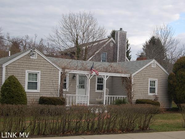
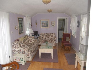
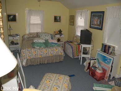
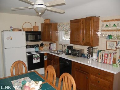
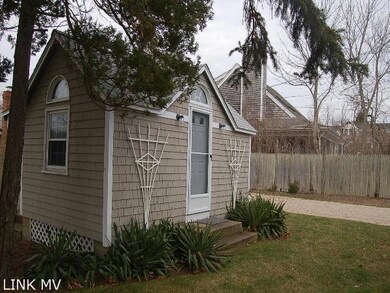
Great in-town Location. This 3 bedroom house and guest cottage combination has a great rental history and is a short walk to Main St and all that the Village offers. In an Area of fine homes, 2,565sf lot sold separately.
Last Agent to Sell the Property
LINK Email Cache
LINK Listed on: 12/13/2012
Last Buyer's Agent
Alisan Lohan-Conway
Alisan Lohan-Conway Properties
| Date | Buyer | Sale Price | Title Company |
|---|---|---|---|
| Schaenen Pamela S | $125,000 | -- | |
| Cunningham Paul C | $652,000 | -- |
| Date | Status | Borrower | Loan Amount |
|---|---|---|---|
| Open | Cunningham Paul C | $600,000 | |
| Previous Owner | Cunningham Paul C | $185,000 |
| Date | Event | Price | List to Sale | Price per Sq Ft |
|---|---|---|---|---|
| 12/13/2012 12/13/12 | Sold | $652,000 | -- | $466 / Sq Ft |
| Year | Tax Paid | Tax Assessment Tax Assessment Total Assessment is a certain percentage of the fair market value that is determined by local assessors to be the total taxable value of land and additions on the property. | Land | Improvement |
|---|---|---|---|---|
| 2025 | $6,089 | $2,297,700 | $1,156,500 | $1,141,200 |
| 2024 | $5,351 | $2,098,400 | $1,156,500 | $941,900 |
| 2023 | $5,280 | $2,095,300 | $1,115,700 | $979,600 |
| 2022 | $5,571 | $1,838,600 | $1,101,400 | $737,200 |
| 2021 | $6,043 | $1,842,500 | $1,105,300 | $737,200 |
| 2020 | $5,750 | $1,716,300 | $1,105,300 | $611,000 |
| 2019 | $6,279 | $1,622,400 | $975,300 | $647,100 |
| 2018 | $5,728 | $1,480,100 | $938,000 | $542,100 |
| 2017 | $3,806 | $1,072,200 | $625,400 | $446,800 |
| 2016 | $3,756 | $1,037,700 | $625,400 | $412,300 |
| 2015 | $3,182 | $916,900 | $563,200 | $353,700 |
L
Seller's Agent in 2012
LINK Email Cache
LINK
A
Buyer's Agent in 2012
Alisan Lohan-Conway
Alisan Lohan-Conway Properties
Source: LINK (Vineyard)
MLS Number: 24146
APN: EDGA-000020C-000175-000002