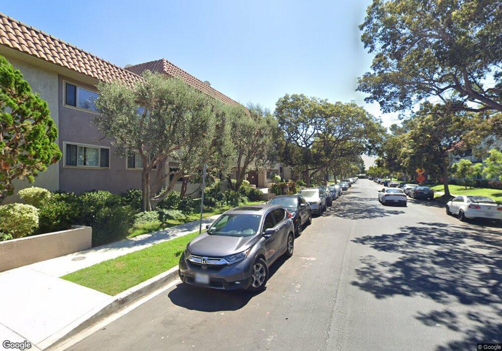
8710 Belford Ave Unit 213B Los Angeles, CA 90045
Westchester NeighborhoodEstimated Value: $239,000 - $496,000
1
Bed
1
Bath
695
Sq Ft
$584/Sq Ft
Est. Value
About This Home
This home is located at 8710 Belford Ave Unit 213B, Los Angeles, CA 90045 and is currently estimated at $405,639, approximately $583 per square foot. 8710 Belford Ave Unit 213B is a home located in Los Angeles County with nearby schools including Westport Heights Elementary, Wright Middle School STEAM Magnet, and Westchester Enriched Sciences Magnets.
Ownership History
Date
Name
Owned For
Owner Type
Purchase Details
Closed on
Mar 18, 2014
Sold by
Smith Barbara
Bought by
Marenco Alex
Current Estimated Value
Purchase Details
Closed on
Nov 19, 2002
Sold by
Thorne Diane L
Bought by
Hill Ingrid E
Home Financials for this Owner
Home Financials are based on the most recent Mortgage that was taken out on this home.
Original Mortgage
$133,000
Interest Rate
6.06%
Purchase Details
Closed on
Jun 10, 1996
Sold by
California Multinational Development Cor
Bought by
Thorne Diane L
Home Financials for this Owner
Home Financials are based on the most recent Mortgage that was taken out on this home.
Original Mortgage
$85,100
Interest Rate
8.09%
Mortgage Type
FHA
Create a Home Valuation Report for This Property
The Home Valuation Report is an in-depth analysis detailing your home's value as well as a comparison with similar homes in the area
Home Values in the Area
Average Home Value in this Area
Purchase History
| Date | Buyer | Sale Price | Title Company |
|---|---|---|---|
| Marenco Alex | $185,000 | Pacific Coast Title Company | |
| Hill Ingrid E | $133,000 | Commonwealth Land Title Co | |
| Hill Ingrid E | $133,000 | Land America Commonwealth La | |
| Thorne Diane L | $88,000 | Old Republic Title Company |
Source: Public Records
Mortgage History
| Date | Status | Borrower | Loan Amount |
|---|---|---|---|
| Previous Owner | Hill Ingrid E | $133,000 | |
| Previous Owner | Thorne Diane L | $85,100 |
Source: Public Records
Tax History Compared to Growth
Tax History
| Year | Tax Paid | Tax Assessment Tax Assessment Total Assessment is a certain percentage of the fair market value that is determined by local assessors to be the total taxable value of land and additions on the property. | Land | Improvement |
|---|---|---|---|---|
| 2025 | $2,696 | $226,775 | $122,581 | $104,194 |
| 2024 | $2,696 | $222,329 | $120,178 | $102,151 |
| 2023 | $2,647 | $217,971 | $117,822 | $100,149 |
| 2022 | $2,526 | $213,698 | $115,512 | $98,186 |
| 2021 | $2,488 | $209,509 | $113,248 | $96,261 |
| 2019 | $2,412 | $203,296 | $109,890 | $93,406 |
| 2018 | $2,391 | $199,311 | $107,736 | $91,575 |
| 2016 | $2,281 | $191,573 | $103,553 | $88,020 |
| 2015 | $2,247 | $188,696 | $101,998 | $86,698 |
| 2014 | $1,921 | $157,126 | $70,884 | $86,242 |
Source: Public Records
Map
Nearby Homes
- 8710 Belford Ave Unit 215B
- 8710 Belford Ave Unit 106B
- 8650 Belford Ave Unit 116A
- 8738 Ramsgate Ave
- 8620 Belford Ave Unit 604
- 8620 Belford Ave Unit 608
- 8807 Reading Ave
- 8819 Reading Ave
- 8512 Belford Ave
- 8815 Glider Ave
- 8906 Yorktown Ave
- 8418 Belford Ave
- 9027 Ramsgate Ave
- 8312 Barnsley Ave
- 8313 Kittyhawk Ave
- 8812 De Haviland Ave
- 8130 Grimsby Ave
- 5516 W 82nd St
- 7901 Winsford Ave
- 5529 W 79th St
- 8710 Belford Ave Unit 104B
- 8710 Belford Ave Unit 122B
- 8710 Belford Ave Unit 221B
- 8710 Belford Ave Unit 106B
- 8710 Belford Ave Unit 118B
- 8710 Belford Ave Unit 225B
- 8710 Belford Ave Unit 108B
- 8710 Belford Ave Unit 209B
- 8710 Belford Ave Unit 126B
- 8710 Belford Ave Unit 201B
- 8710 Belford Ave Unit 212B
- 8710 Belford Ave Unit 204B
- 8710 Belford Ave Unit 215B
- 8710 Belford Ave Unit 101B
- 8710 Belford Ave Unit 219B
- 8710 Belford Ave Unit 203B
- 8710 Belford Ave Unit B 215
- 8710 Belford Ave Unit B 208
- 8710 Belford Ave Unit B 116
- 8710 Belford Ave Unit B 223