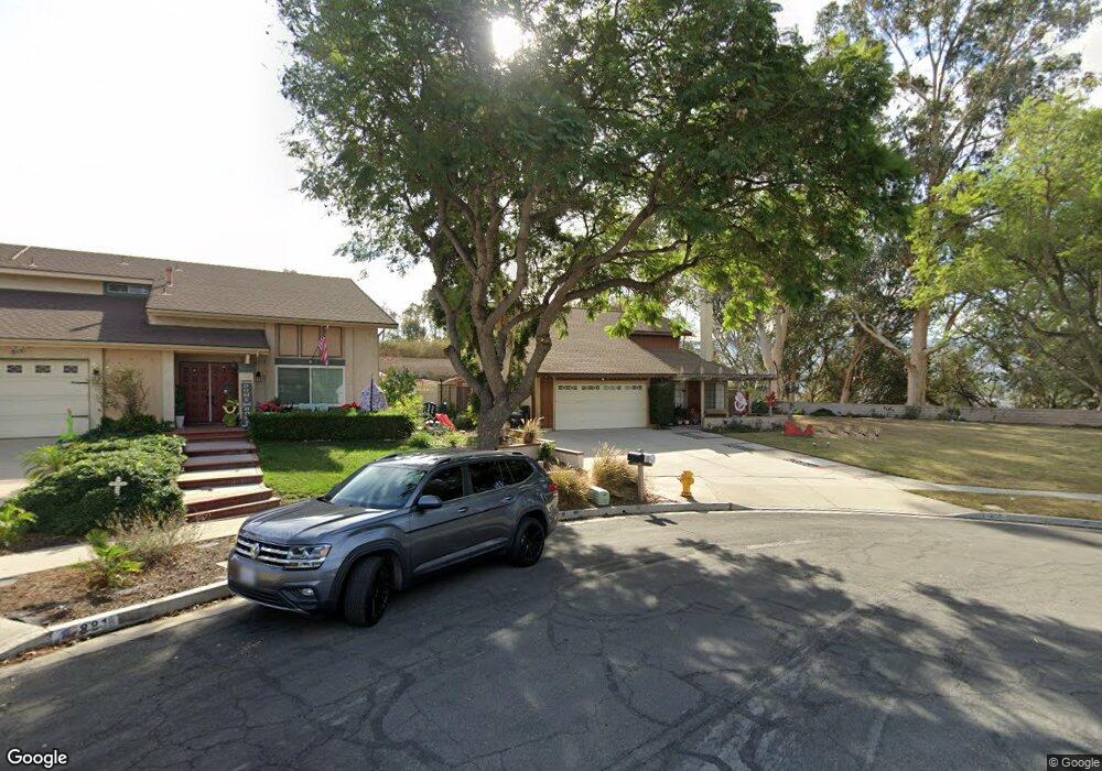
875 Queensdale Cir Corona, CA 92880
North Corona NeighborhoodEstimated Value: $820,000 - $870,000
5
Beds
3
Baths
1,981
Sq Ft
$426/Sq Ft
Est. Value
About This Home
This home is located at 875 Queensdale Cir, Corona, CA 92880 and is currently estimated at $843,554, approximately $425 per square foot. 875 Queensdale Cir is a home located in Riverside County with nearby schools including George Washington Elementary, Auburndale Intermediate, and Norco High School.
Ownership History
Date
Name
Owned For
Owner Type
Purchase Details
Closed on
Mar 7, 2019
Sold by
Hopper Linda L
Bought by
Hopper Linda L
Current Estimated Value
Purchase Details
Closed on
Jan 18, 2002
Sold by
Hopper Joseph R and Hopper Linda L
Bought by
Hopper Linda L
Home Financials for this Owner
Home Financials are based on the most recent Mortgage that was taken out on this home.
Original Mortgage
$124,830
Interest Rate
7.11%
Mortgage Type
Purchase Money Mortgage
Create a Home Valuation Report for This Property
The Home Valuation Report is an in-depth analysis detailing your home's value as well as a comparison with similar homes in the area
Home Values in the Area
Average Home Value in this Area
Purchase History
| Date | Buyer | Sale Price | Title Company |
|---|---|---|---|
| Hopper Linda L | -- | None Available | |
| Hopper Linda L | -- | Fidelity National Title Ins |
Source: Public Records
Mortgage History
| Date | Status | Borrower | Loan Amount |
|---|---|---|---|
| Closed | Hopper Linda L | $124,830 |
Source: Public Records
Tax History Compared to Growth
Tax History
| Year | Tax Paid | Tax Assessment Tax Assessment Total Assessment is a certain percentage of the fair market value that is determined by local assessors to be the total taxable value of land and additions on the property. | Land | Improvement |
|---|---|---|---|---|
| 2025 | $3,326 | $306,113 | $78,703 | $227,410 |
| 2023 | $3,326 | $294,228 | $75,648 | $218,580 |
| 2022 | $3,219 | $288,460 | $74,165 | $214,295 |
| 2021 | $3,154 | $282,805 | $72,711 | $210,094 |
| 2020 | $3,119 | $279,906 | $71,966 | $207,940 |
| 2019 | $3,046 | $274,418 | $70,555 | $203,863 |
| 2018 | $2,977 | $269,038 | $69,172 | $199,866 |
| 2017 | $2,904 | $263,764 | $67,816 | $195,948 |
| 2016 | $2,874 | $258,593 | $66,487 | $192,106 |
| 2015 | $2,810 | $254,711 | $65,490 | $189,221 |
| 2014 | $2,709 | $249,723 | $64,208 | $185,515 |
Source: Public Records
Map
Nearby Homes
- 871 Kevin Cir
- 906 Brandywine Ln
- 1474 Greenbriar Ave
- 893 Tangelo Way Unit 101
- 893 Tangelo Way Unit 103
- 1527 Greenpoint Dr
- 1026 Silent Cir
- 1088 Peaceful Dr
- 910 Pathfinder Way
- 861 Shade Tree Way
- 868 Pathfinder Way
- 347 N Garfield Ave
- 823 Pathfinder Way
- 2625 Three Bar Ln
- 1233 Dale Cir
- 1268 Dale Cir
- 1966 Trotter Trail
- 2904 2nd St
- 858 Calaveras Way
- 1110 Mountain Ave
- 881 Queensdale Cir
- 876 Kevin Cir
- 878 Queensdale Cir
- 882 Kevin Cir
- 1270 Palos Verde Dr
- 1264 Palos Verde Dr
- 882 Queensdale Cir
- 1258 Palos Verde Dr
- 890 Queensdale Cir
- 881 Auburndale St
- 887 Auburndale St
- 893 Auburndale St
- 905 Queensdale Ave
- 1248 Palos Verde Dr
- 879 Kevin Cir
- 1263 Palos Verde Dr
- 904 Queensdale Ave
- 1255 Palos Verde Dr
- 1240 Palos Verde Dr
- 915 Queensdale Ave