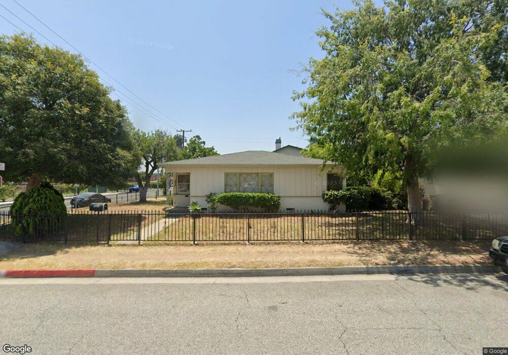
8758 Scott St Rosemead, CA 91770
Estimated Value: $787,000 - $996,000
3
Beds
2
Baths
997
Sq Ft
$898/Sq Ft
Est. Value
About This Home
This home is located at 8758 Scott St, Rosemead, CA 91770 and is currently estimated at $895,345, approximately $898 per square foot. 8758 Scott St is a home located in Los Angeles County with nearby schools including Emma W. Shuey Elementary School, Muscatel Middle School, and Rosemead High School.
Ownership History
Date
Name
Owned For
Owner Type
Purchase Details
Closed on
Mar 7, 2003
Sold by
Lopez Gail Gonzalez and Gonzalez Charles
Bought by
Chi Pat Phat
Current Estimated Value
Home Financials for this Owner
Home Financials are based on the most recent Mortgage that was taken out on this home.
Original Mortgage
$207,000
Outstanding Balance
$88,794
Interest Rate
5.85%
Estimated Equity
$806,551
Purchase Details
Closed on
Jul 27, 1994
Sold by
Gonzalez Charles M
Bought by
Gonzalez Charles M and Gonzalez Trust
Create a Home Valuation Report for This Property
The Home Valuation Report is an in-depth analysis detailing your home's value as well as a comparison with similar homes in the area
Home Values in the Area
Average Home Value in this Area
Purchase History
| Date | Buyer | Sale Price | Title Company |
|---|---|---|---|
| Chi Pat Phat | $275,000 | Commerce Title | |
| Gonzalez Charles M | -- | -- |
Source: Public Records
Mortgage History
| Date | Status | Borrower | Loan Amount |
|---|---|---|---|
| Open | Chi Pat Phat | $207,000 |
Source: Public Records
Tax History
| Year | Tax Paid | Tax Assessment Tax Assessment Total Assessment is a certain percentage of the fair market value that is determined by local assessors to be the total taxable value of land and additions on the property. | Land | Improvement |
|---|---|---|---|---|
| 2025 | $4,991 | $398,265 | $283,861 | $114,404 |
| 2024 | $4,991 | $390,457 | $278,296 | $112,161 |
| 2023 | $5,010 | $382,802 | $272,840 | $109,962 |
| 2022 | $4,837 | $375,297 | $267,491 | $107,806 |
| 2021 | $4,782 | $367,940 | $262,247 | $105,693 |
| 2019 | $4,703 | $357,028 | $254,469 | $102,559 |
| 2018 | $4,483 | $350,029 | $249,480 | $100,549 |
| 2016 | $4,266 | $336,440 | $239,794 | $96,646 |
| 2015 | $4,270 | $331,388 | $236,193 | $95,195 |
| 2014 | $4,177 | $324,898 | $231,567 | $93,331 |
Source: Public Records
Map
Nearby Homes
- 4167 Walnut Grove Ave Unit 9
- 4607 Earle Ave
- 9043 De Adalena St
- 4550 Delta Ave
- 4846 Muscatel Ave
- 9266 Valley Blvd
- 4057 Highland Ct
- 9255 Rio Dell St
- 4917 Encinita Ave
- 5067 Sereno Dr Unit B
- 3943 Rio Hondo Ave
- 847 E Mission Rd Unit F
- 1825 S Gladys Ave
- 8458 Olney St
- 3453 Ivar Ave
- 1717 S San Gabriel Blvd
- 3613 Delta Ave
- 608 E Chestnut Ave
- 5239 Rosemead Blvd Unit C
- 809 E Marshall St
- 8746 Scott St
- 4133 Muscatel Ave Unit ADU
- 4133 Muscatel Ave
- 8757 Scott St
- 4129 Muscatel Ave
- 8744 Scott St
- 4205 Muscatel Ave
- 8761 Hovey St
- 4125 Muscatel Ave
- 8738 Scott St
- 8747 Scott St
- 8753 Hovey St
- 4211 Muscatel Ave
- 8743 Scott St
- 8732 Scott St
- 8749 Hovey St
- 8739 Scott St
- 4215 Muscatel Ave
- 8728 Scott St
- 4217 Muscatel Ave
Your Personal Tour Guide
Ask me questions while you tour the home.